
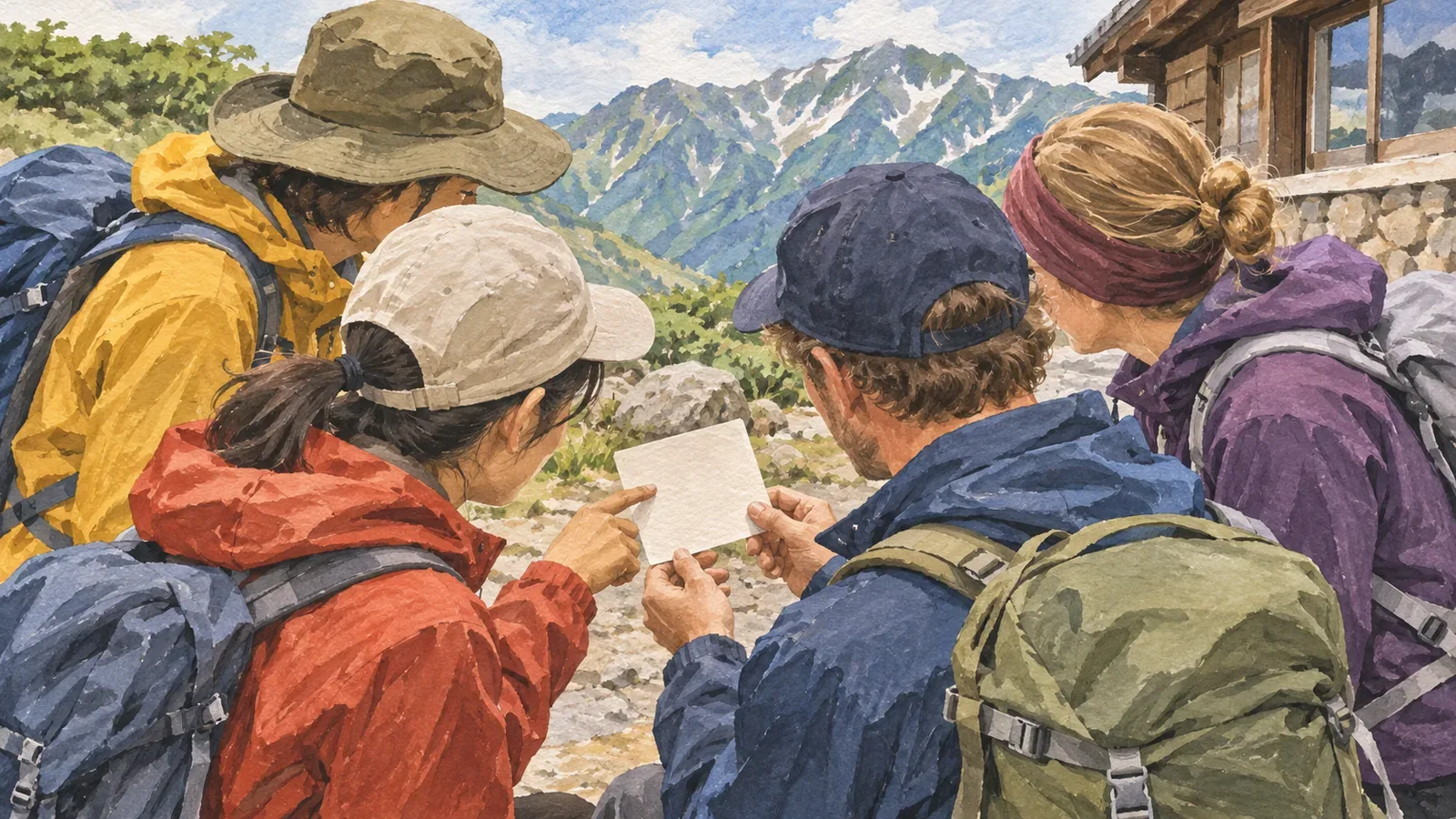
Before hiking with friends from abroad, prepare one page with the location, what happened, the number of people involved and a callback number to give in an emergency. Use the Fire and Disaster Management Agency’s 119 guidance and Nagano Prefecture’s mountain safety booklet to make a card everyone can read.
List emergency numbers and what each service does
In Japan, 119 is for fire and ambulance emergencies and 110 is for police. Nagano Prefecture’s mountain safety booklet directs people to call 110 in a mountain emergency if they can’t get down on their own. When you need rescue, tell the dispatcher the mountain name, your location and what happened. Answer their questions and follow their instructions.
The Fire and Disaster Management Agency describes how 119 calls can be interpreted through a telephone interpreter connecting the caller and fire service. Say at the start if you need a particular language. List the Japan National Tourism Organization’s Japan Visitor Hotline separately as a service for travellers.
Put 110 and 119 and their roles at the top. Below, leave fields for where help is needed, what happened, how many people need help and the callback number. Write the mountain and trailhead names in Japanese ahead of time so you can describe a place that’s hard to locate.
Make a card that helps you describe the location and situation
The Fire and Disaster Management Agency advises callers to give a nearby landmark when they don’t know the address. Nagano Prefecture’s mountain safety booklet recommends being able to communicate your location using a GPS device or hiking map app.
Under location, make room for the name and number of the last junction, hut or waymarker you passed and the time you passed it. Numbered waymarkers on the Kumano Kodo can help you describe where you are. If your map app shows coordinates, confirm which point they refer to and read them out if the dispatcher asks.
Under plan, list your starting trailhead, intended route, group size, trail exit and expected finish time. Check this against the plan you filed and record any changes you can. Kanagawa Prefectural Police advise sharing the hiking plan with family or friends as well.
Under situation, leave room to say briefly what happened, how many people need help, whether they can move and what hazards are nearby. If you need to call urgently, give the information you have and say when you don’t know something.
Each person can note their language and the allergies or medications they need to mention. They should manage their own personal information and be ready to share what rescuers or healthcare providers need.
Write a number where you can take a call back. Separately from the emergency numbers, note the family member or friend holding your plan and the accommodation’s contact details. Put Japanese alongside the languages your companions use, and keep the card short enough to scan.
Plan for no reception or a flat battery
Before leaving, check with your phone provider that everyone can make voice calls in Japan. Have each person carry a paper map and card in case there’s no signal. Agree with your contact back home when you’ll check in after the descent and whom they should contact if you don’t.
If you also save the card to a device, test opening it with the connection off and restore the settings after the test. Keep the paper card dry and somewhere you can reach it when needed.
Make sure everyone can show the mountain and place names in Japanese. Even if you share a map pin, write the trailhead and the last main junction you plan to pass on paper and check together which point each name refers to.
Practise using the card before leaving
Practise by asking each other where you are, what happened and how many people are involved. Answer briefly using the card. If a name is hard to read or two junctions are easily confused, add pronunciation in kana or nearby landmarks. Practise the conversation without placing a real call.
Mark places where you could shorten the hike or turn back on the map. Agree before leaving that anyone can raise a concern or say they feel unwell and propose changing the plan.
Recap: prepare the location, situation and callback number
Include what 110 and 119 are for, landmarks for your location, what happened, how many people are involved and a callback number. Share your itinerary and have everyone carry a version they can show on the spot.
References and sources
- Nagano Prefecture: mountain safety booklet
- Fire and Disaster Management Agency: 119 emergency calls
- Fire and Disaster Management Agency: three-way calls with a telephone interpreter
- Japan National Tourism Organization: Japan Visitor Hotline
- Kanagawa Prefectural Police: enjoy hiking safely and prevent mountain accidents
- Tanabe City Kumano Tourism Bureau: Kumano Kodo Tips & Safety