
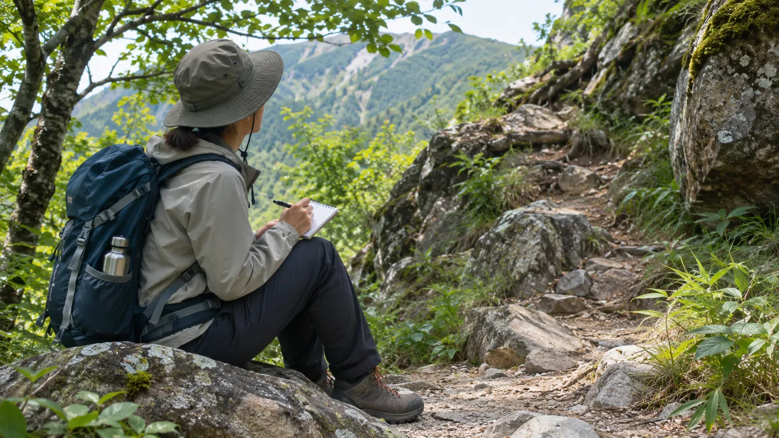
Start by checking where you can stop. The place where you find a flower or tree may be too narrow or uneven to write. Nagano Prefecture’s hiking guidance and advice from Japan’s National Police Agency offer ways to prepare and decide when to skip an entry. The journaling approach below applies that guidance on the trail.
When you notice a plant, look for a safe place to stop
Nagano Prefecture’s natural park and hiking guidance, updated May 25, 2026, explains that stepping off the trail for photos can damage the path and expose you to a fall. Trampling plants can leave bare ground and change what later visitors will see. Stay on the path while looking for a better view.
Nagano asks people to enjoy plants and animals in place. Collecting or capturing some species in certain locations can be prohibited and penalized under the Natural Parks Act or local rules. The Ministry of the Environment explains that collecting or damaging designated alpine and other plants is regulated in special zones of national and quasi-national parks. Check the destination park’s list before leaving. For your journal, describe what you can see from a distance, leaving the subject where it is.
Narrow trails, exposed edges and loose stones
Nagano’s guidance for passing other hikers on narrow trails is to wait at a safe spot on the uphill side, away from the exposed edge, and watch for loose stones and rockfall. A person who stops to study something may block the trail and lead others to step toward the edge. Apply the same concern to observation stops: keep walking through narrow sections and wait for a safe place to stop. The Nagano guidance covers parks in that prefecture. Check local instructions for other areas.
Japan’s National Police Agency’s 2025 overview recommends wearing a helmet through sections with a fall hazard. Pause the observation and concentrate on your footing and surroundings in those sections. For notes, choose stable ground with room for others to pass.
Plan possible stops and stretches where you’ll keep moving
The National Police Agency recommends a schedule with time for rests and identifying fall hazards and early descent routes in advance. Use both ideas when planning where to take notes.
Mark hazardous stretches from the map or guide as places to keep moving. Then look at planned rest stops for areas that appear broad and flat. A map can’t tell you what the footing or foot traffic will be like. Check each possible stop on arrival and skip it if conditions are poor. Budget a few minutes for observation and decide in advance to cut that time first if you fall behind.
Choose a small number of subjects. Japan’s National Institute for Environmental Studies says volunteers can record the categories they recognize or follow one favorite species. Its monitoring program recommends a site accessible three or four times a week, ideally daily and at least once a week. For a single hike, take the idea of a narrow focus and choose stops that fit the route.
The National Police Agency notes that a GPS phone can help communicate your position to rescuers. Coverage can be limited and battery charge matters. Keep screen use and photography brief, check the actual charge and prepare backup power for communication. A paper notebook is another option.
Stop before you write and record the times you skip
Stop before taking notes, photographing or using a screen. Write only on firm ground where people can pass, or put the entry off. Skip the observation if stopping would block a narrow path, force you toward an exposed edge, put you near loose stones or rockfall, or make you step on plants. Poor visibility, how you feel or a tight schedule can also be reasons to skip.
You can still note the date and why you skipped. Add a field for “stopped” or “skipped” and a short reason. Write it at the next safe rest point. That will help when you return. The Phenology Observation Manual follows a selected tree and records when it is changed and when its replacement was chosen. Borrow the idea by noting when you change your observation point because there was nowhere suitable to stop.
The National Police Agency says fog, other low-visibility conditions and feeling unwell raise the risk of losing the route or falling. If you may be lost, stop observing and check the map and your location at a safe point. If you can safely follow your steps back, consider returning to a known point. If you can’t find the route back and can’t descend safely on your own, stop moving and request help early.
In brief: Plan to skip entries where you can’t safely stop
Start by checking where you can stop. Stay on the trail to protect vegetation and reduce the risk of a fall, and pass narrow or loose ground without stopping. Check hazards and early descent routes before departure and identify potential stops. On site, write only after stopping safely. Mark skipped entries so they can inform the next outing. Leave enough room in your plan to skip an observation before you reach an unsafe spot. Check footing and foot traffic every time, including at places you’ve used before.
References and sources
- Nagano Prefecture: Guidance for park visitors and hikers
- National Police Agency of Japan: Overview of mountain incidents in 2025
- National Institute for Environmental Studies: Citizen monitoring of seasonal changes in plants and animals
- Climate Change Adaptation Platform: Phenology Observation Manual, version 3
- Japan Ministry of the Environment: Designated plants in national and quasi-national parks