
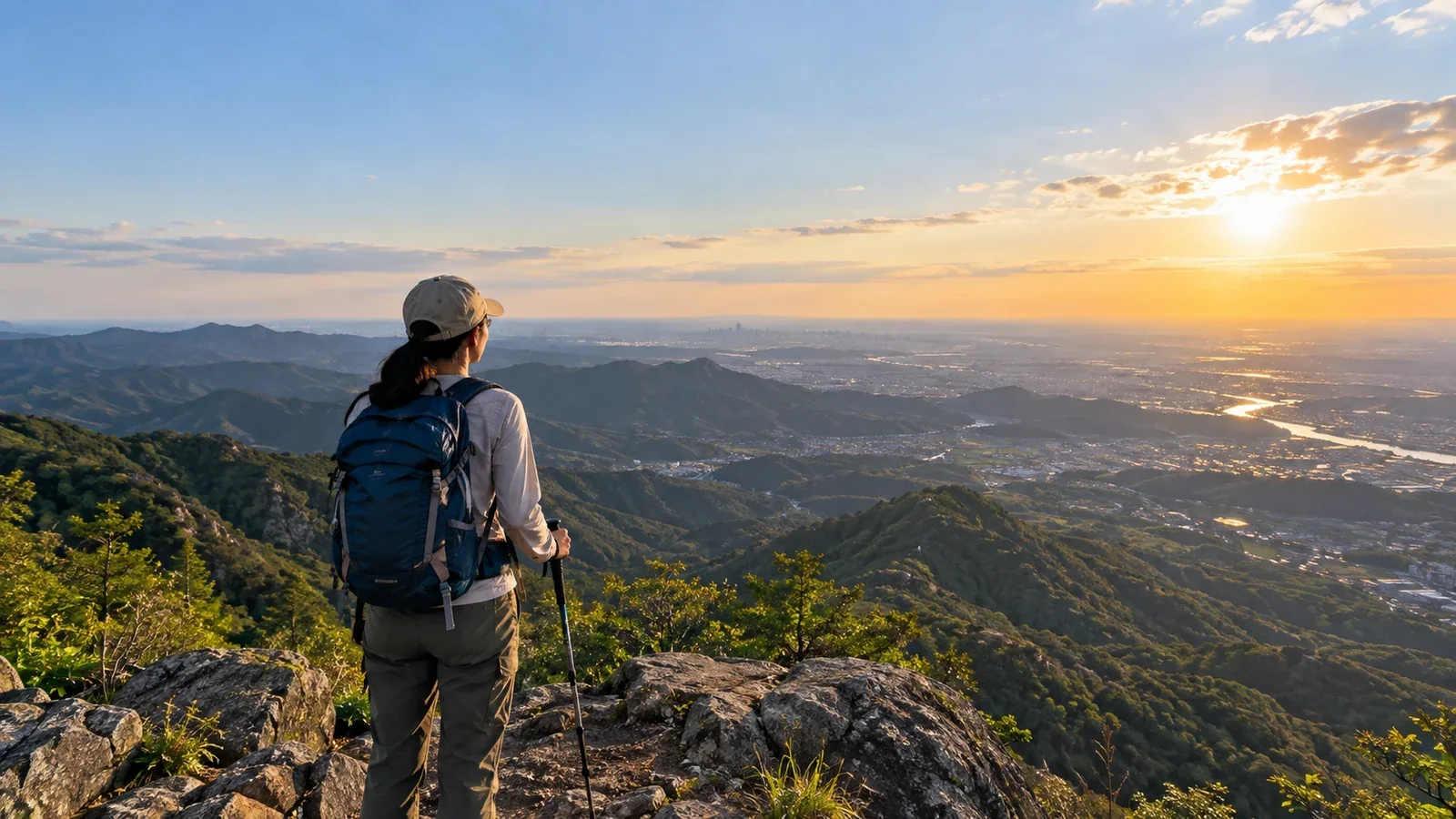
If an afternoon opens up, calculate how much time you will actually have on the trail before planning to reach a summit. A short walk can fit even when you have little time in the morning.
Even on the same mountain, the latest possible start depends on the season, the route, your pace and the journey home. Mount Takao is our example for working out a finish time and when to turn back.
Check whether an afternoon start fits
Before choosing a mountain, work out when you can finish walking in daylight and check return transport and closing times. Take some time off the earliest of these limits to set a deadline for getting off the trail.
Use the National Astronomical Observatory’s calculator for the location and date of your walk. In valleys and under trees, terrain or clouds can make it hard to see your footing before sunset. Leave a margin suited to the terrain and weather.
Look for these features when choosing an afternoon walk.
- A short round trip. The walk fits before your finish deadline, including breaks, navigation checks and delays from crowds.
- Predictable access. You can estimate when you will reach the trailhead and how long it will take to get to the station or bus stop afterward.
- Difficulty you have handled recently. Compare the total ascent, distance and downhill footing with a route you walked comfortably.
- Clear junctions and a straightforward return. Signs and the map let you check the route and cut it short if needed.
Subtract the walking time, breaks, map checks and an allowance for delays from your finish deadline. The result is your latest start from the trailhead. Base the estimate on recent walks. If you arrive after that time, switch to a shorter walk.
What makes a route near Tokyo suitable for an afternoon start?
Access and footing vary across the Tokyo area. Plot an out-and-back route on the map and check where you could shorten it.
Trail 1 on Mount Takao by train
It is about five minutes on foot from Keio’s Takaosanguchi Station to Kiyotaki Station. According to TAKAO 599 MUSEUM, Trail 1 is about 3.8 km from the base to the summit. Walking the entire route takes about 110 minutes up and 90 minutes down. When using the cable car or chairlift for part of the trip, the walking estimates are 60 minutes up and 50 minutes down. Allow extra time for the ride, queues and breaks. The Takao Visitor Center says the section of Trail 6 between Biwa Falls and the Trail 5 junction is uphill only all day from October 31 through December 6, 2026. Plan to descend another way during that period and check the latest trail notices.
Starting from a car park
If you are driving, factor in parking hours and gate closures, road restrictions and the drive home. Set a finish time that gets you off the trail in daylight even if you can choose when to drive back.
A route with a turnaround point before the summit
Look for a turnaround point you can identify on the map and by the signs. If rain, thunderstorms or strong winds are expected, shorten or postpone the walk even if the views are good.
Working back from sunset and return transport
The National Astronomical Observatory lists sunset in central Tokyo at 18:57 on July 16 and 16:35 on November 14 in 2026. These dates illustrate the seasonal difference. For your trip, use the date-specific sunset near the trailhead and consider local conditions.
- Set a finish deadline. Say you need to be back at the trailhead by 15:30.
- Budget time on the trail. Allow two hours of walking, 30 minutes for breaks and map checks, and 30 minutes for delays.
- Find the latest start. Subtracting three hours from 15:30 gives a latest departure from the trailhead of 12:30.
- Set a turnaround time. Subtract the time you need to get back and a buffer from the finish deadline. Turn back at that time even if you have not reached the summit.
These numbers are an example. Shorten the distance if you arrive late or the trail is crowded. If the descent is slippery or rough, set aside more time for it and redo the calculation.
Four checks before leaving
Check these four things just before setting out, too.
1. Weather and sunset. Check Japan Meteorological Agency forecasts, warnings and advisories, and the National Astronomical Observatory’s sunset time. Consider shortening or postponing the walk if thunderstorms are expected.
2. Time to reach the trailhead. Check weekday or holiday schedules, transfers, the walk from the station and car park hours.
3. Headlamp. Carry one in case of a delay and test the light and batteries. Plan an afternoon outing to finish in daylight.
4. Transport home. Check the last cable car or chairlift you might use for the descent and the last connection from the station or bus stop. Make a plan in case of queues, cancellations or missed services.
Common ways an afternoon plan runs late
These delays can add up quickly with an afternoon start.
Planning around the published walking time alone. Use your recent pace and add time for breaks, photos, map checks and crowds. If you are slower downhill, budget extra time for the descent.
Putting off the turnaround because the summit looks close. Choose a point you can identify on the map and a time before setting out. Turn back when you reach either one.
Overlooking the cold on the way down. From autumn into winter it cools as the sun gets lower. Carry a layer to put on when you stop, in case of wind or cooling after sweating.
Packing less because it is a half-day outing. Bring water, emergency food, first-aid supplies, waterproofs, a headlamp and a map even for a short trip. Takao Police Station recommends filing a hiking plan and sharing your destination with family or someone you know.
Your next step
Pick one route, check sunset and return transport, and write down your finish and turnaround deadlines. For your first time on a mountain trail, a morning start makes it easier to allow extra time. You can also ask people who walk in the same area in Nordwand’s Basecamp.
References and sources
- National Astronomical Observatory of Japan: Sunset by location and date
- National Astronomical Observatory of Japan: Tokyo sunset times in July 2026
- National Astronomical Observatory of Japan: Tokyo sunset times in November 2026
- TAKAO 599 MUSEUM: Distance and walking times for Mount Takao’s Trail 1
- Takao Tozan Railway: Getting to Mount Takao
- Takao Tozan Railway: Cable car and chairlift timetables
- Takao Visitor Center: One-way traffic on Trail 6 in autumn 2026
- Takao Police Station: Hiking plans and equipment
- Japan Meteorological Agency: Forecasts, warnings and advisories
- Japan Meteorological Agency: Using the thunderstorm nowcast