
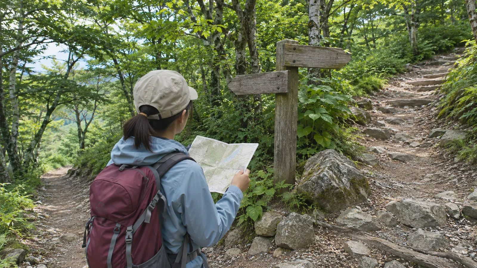
If you are reconsidering your first hike, start with a route where you can work out at home where to turn back or descend early. As of October 28, 2026, prefectural grades describe physical and technical difficulty. Work out your options for getting back by dividing the hike into sections using official information and deciding where to reassess the plan. Here is how to do that.
Use maps and official guidance to identify ways back
In its 2024 overview of mountain emergencies, the National Police Agency recommends leaving plenty of time, identifying hazards and escape routes beforehand, and preparing, sharing, and submitting a hiking plan. An escape route is a path you can take to end a hike early and descend. Identify your ways off the mountain before you leave home. Yamanashi, Gunma, and Gifu publish grades to help you choose a hike within your abilities. They assess physical and technical difficulty, and leave you to check where you can descend. Use the official trail map and municipal guidance for each mountain to find junctions that lead to bus stops, huts, stations, or other exit points.
A mountain's popularity tells you little about where you can leave the trail. Check whether there is a descent route from the particular section you plan to hike.
Use grades to screen out routes where turning back would be difficult
There are five technical grades, A through E. A trails are generally maintained and easy to follow. B trails have places where the way is unclear and require hiking experience. C can have gaps in signage and requires map-reading skills. Prefectural guidance recommends that beginners start in the lower left of the grade chart, with routes of low physical and technical difficulty, and gradually build experience toward the upper right. The editorial team's inference is that unclear trails and sparse signs leave you with fewer cues when deciding whether to turn around. Focusing first on A-rated routes can make the decision easier and help you keep the option open. The advice draws on prefectural guidance, and each route still needs to be assessed on its own.
The physical grade uses a route score based on estimated time, total distance, and cumulative ascent and descent. Gunma suggests spreading a physically demanding route over more than one day as one option. Check lodging, equipment, and booking requirements separately. A shorter route you can comfortably finish in a day is also an option for a first hike. The grades assume good weather and snow-free conditions. Check the grade alongside current trail information from the manager or another local source. Gunma and Gifu advise going with an experienced hiker when you try a grade for the first time.
Divide the route into sections and write down where to decide
Gifu explains that in the Northern Alps, routes are split at junctions, summits, and other points, and their section scores can be added to assess the physical demand. Similar tables may be unavailable elsewhere, but the approach can help you choose your first hike. Divide your route at junctions and identify a decision point for each section so you can set clear conditions for turning back. At home, use the official trail map and estimated hiking times to write down four things.
First, record the start and end of each section and the published time. Second, note whether there is a junction and whether you can trace a descent route on the map. Third, write down whom to ask about the condition of that route, such as a hut, municipal office, or police station. Fourth, decide what you will check there to choose between continuing and going back. Write down the conditions before departure, such as time or weather.
Gifu warns that multiple routes on the same mountain may start from the same trailhead. Identify the exact route when drawing up your table. Earthquakes, rockfall, and avalanches can close or reroute trails. Yamanashi, Gunma, and Gifu all advise confirming conditions with huts, police stations, or other local sources before leaving. A trail shown on the map may be closed. For a first hike, consider ranking a route lower if you cannot find a way to descend over a long stretch. This is the editorial team's suggestion for applying the National Police Agency's advice on identifying escape routes. Fill out the table at home and wait until you stop walking to add any notes.
Set turnaround conditions before departure and plan for navigation and daylight
Once your table is ready, set conditions for turning around. For example, if you have not reached a given junction by a time you chose, turn back. Set that time using the published hiking time and your own itinerary. The National Police Agency advises hikers who suspect they are lost to assess the situation, avoid pressing on blindly, and stop the hike early. Retrace your steps only if you can confirm the way and do so safely. If you cannot move on your own, call for help early. Decide when to turn around before you leave, while you can think clearly.
The Yamanashi Prefectural Police say hikers often get lost on lower mountains when darkness falls and they have no light, or when they lose the route without a map. Include remaining daylight, a light, and a map in your decision criteria. The National Police Agency says a GPS-enabled phone can help you call for rescue, but reception and battery life are limited in many mountain areas. Plan for gaps in phone service. Check your map or use your device while stopped on stable footing where people can pass. If you cannot find a suitable spot, wait. Prepare and submit a hiking plan and share it with family, your workplace, or another contact. Gunma and Yamanashi both recommend filing a plan. Check local rules, including the separate legal requirements for designated danger areas of Mount Tanigawa. The decision points in your table give your plan a firmer basis.
Summary: Start with a route whose descent options you can identify at home
Shortlist routes from the lower left of the grading chart and choose one whose sections and descent options you can trace on an official map. Route grades give you clues about navigation, signage, and physical demand that can help you assess how easy it would be to turn back. Make a table of sections and junctions at home, check for closures with sources such as mountain huts and police stations, and put your turnaround conditions in your hiking plan before departure. If you cannot trace a descent route or the conditions do not fit, check the arrangements for any overnight plan or choose a different route that you can finish comfortably.
References and sources
- Yamanashi Prefecture: Mountain Route Grading in Yamanashi
- Gunma Prefecture: Mountain Route Grading, Revised April 2025
- Gifu Prefecture: Mountain Route Grading
- Yamanashi Prefectural Police: Mountain Emergency Statistics
- National Police Agency: Overview of Mountain Emergencies in 2024
- Gunma Prefectural Police, general advice and filing requirements for designated areas