
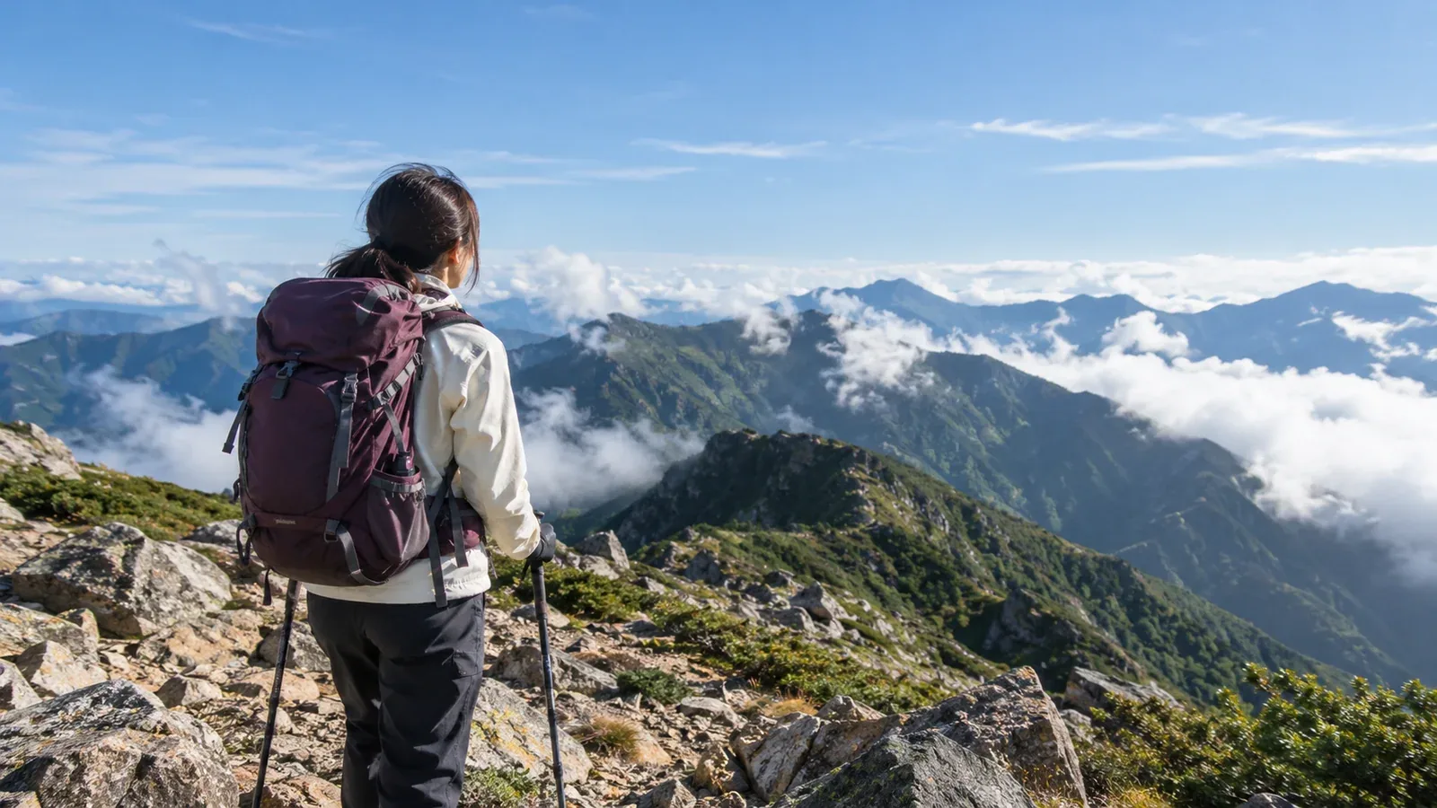
When you're new to hiking, it's hard to tell what makes an action risky. What feels obvious to an experienced hiker can depend on knowledge you haven't had a chance to build. A vague feeling that things will probably be fine can lead to getting lost, getting cold, falling or being stuck after dark. It takes time to recognize how directly your decisions affect your risk.
Here are some decisions beginners commonly make, why they can cause trouble, and how to handle them. The goal is to develop judgment you can use on any mountain.
Mistakes while planning and checking information
Assuming popularity means safety
Japan's 100 Famous Mountains and popular sightseeing peaks often have well-maintained trails and good access. A high summit can still be cold, and wind can pick up quickly on ridges. If the weather changes above the trees, the way you came may be your only way down.
Look at elevation gain, published route time and how exposed the ridges are. A typical starting point is a low mountain with about 300–400 m of gain or less, a route time of three to four hours or less, and a path mostly below treeline. Check route difficulty on the local government's or manager's website or on a paper or digital hiking map.
Skipping a hiking plan where filing is optional
Local ordinances make filing mandatory in some areas. Check local authorities or the trailhead notice for the mountain you plan to visit. Even when it's optional, a plan gives rescuers a starting point if you go missing.
Include your departure and expected finish dates and times, route and emergency contact. Depending on the area, use a trailhead box, police station or online system. Tell a friend or family member where you're going and when to expect you back. This can help someone raise the alarm sooner.
Mistakes with equipment and clothing
Leaving rainwear behind because the forecast looks clear
Mountain weather can differ considerably from a forecast for town. Clear summer mornings can give way to afternoon thunderstorms. Ridges are cooler, and wind on wet clothing can lower your core temperature enough for hypothermia even in summer.
Keep rainwear in your pack for protection from wind and cold as well as rain. Waterproof-breathable fabrics such as Gore-Tex are common. A specialist shop can help you choose a model appropriate for your hikes.
Choosing shoes by appearance
Trails place different demands on your feet from paved streets. On descents with slippery dirt or rock, grip and ankle support make a difference to safety. Sneakers or walking shoes may be suitable on some low-mountain paths, depending on the route.
Match footwear to the terrain. For rock, steep ground or long days, look for secure fit, suitable grip and enough support for the route. Try shoes with the socks you will use and walk in them before a longer outing.
Bringing the bare minimum of food and water
Half a liter for a three-hour round trip assumes the outing goes to plan. A wrong turn, tired legs or a longer stop because of the weather can happen on any mountain.
Bring drinking water based on the expected duration, heat, effort and reliable refill options. Allow a reserve for delays. Keep snacks within reach and bring enough to get back if you need more time than planned.
Mistakes while making decisions on the trail
Pressing on because the summit looks close
A summit that looks half an hour away may take much longer. Allow time for the full descent, taking account of terrain, fatigue and daylight.
Set a turnaround time before you leave. If you decide you'll turn around unless you reach the summit by 1 p.m., stick to it. Getting home safely comes first.
Using a phone as your only map
A GPS app can display a map you downloaded before leaving. A phone can still lose power or break. Carry a paper map and compass and know how to use them.
Learn the basics of using a paper map and compass. On low mountains, practice matching the terrain to the map well enough to identify your approximate position and direction.
Keeping going after you suspect you've lost the trail
Many lost hikers get deeper into trouble by walking on after they first sense something is wrong. Stop if the track fades, trail signs disappear or the terrain no longer fits the map.
Stop somewhere safe. Recall your last known position and use the map, compass and visible landmarks to check where you are. Retrace your steps only if you can identify the route and do so safely. If you cannot find a safe route and need rescue in Japan, call 110 or 119. Give your location, last known point and the condition of your group, then follow the dispatcher’s instructions.
Mistakes with group pace and checking how people feel
Letting the fastest person set the pace
Groups rarely all walk at the same speed. Matching the strongest person can exhaust someone early and make it hard for them to keep going on the descent. Set a pace the person with the least stamina can comfortably sustain.
One common pattern is to stop after the first 10–15 minutes to adjust clothes and laces and check how everyone feels, then walk for 40–50 minutes and rest for 10. Adjust for temperature, steepness and the group's condition.
Taking “I'm fine” at face value
Headache, nausea and unusual fatigue at high altitude can be signs of altitude illness, although other causes are possible. Stop ascending if you suspect altitude illness, and assess the situation with the group.
Pay attention if someone slows unexpectedly, looks pale or has difficulty speaking or moving as usual. If symptoms worsen, arrange a safe descent and seek medical help. Call for rescue if the person cannot descend safely.
What to do next
Pick one mistake you might make and build a concrete response into your next plan. Filing a plan, checking gear and setting a turnaround time are changes you can make today. Ask a companion to look over your plan. Nordwand's Base Camp and interest-based communities can connect you with hikers who know the area.
References
- National Police Agency, Community Safety Bureau, overview of mountain incidents.
- Geospatial Information Authority of Japan, reading topographic maps for hiking.
- Japan Meteorological Agency, using mountain weather information.
- Prefectural police instructions for filing a hiking plan.
References and sources
- Preventing mountain incidents and requesting rescue · Government of Japan
- What to do if you get lost · National Park Service
- High-altitude travel and altitude illness · CDC Yellow Book
- Trip planning and day-hike equipment · Nagano Prefecture
- Regional forecasts and advisories · Japan Meteorological Agency