
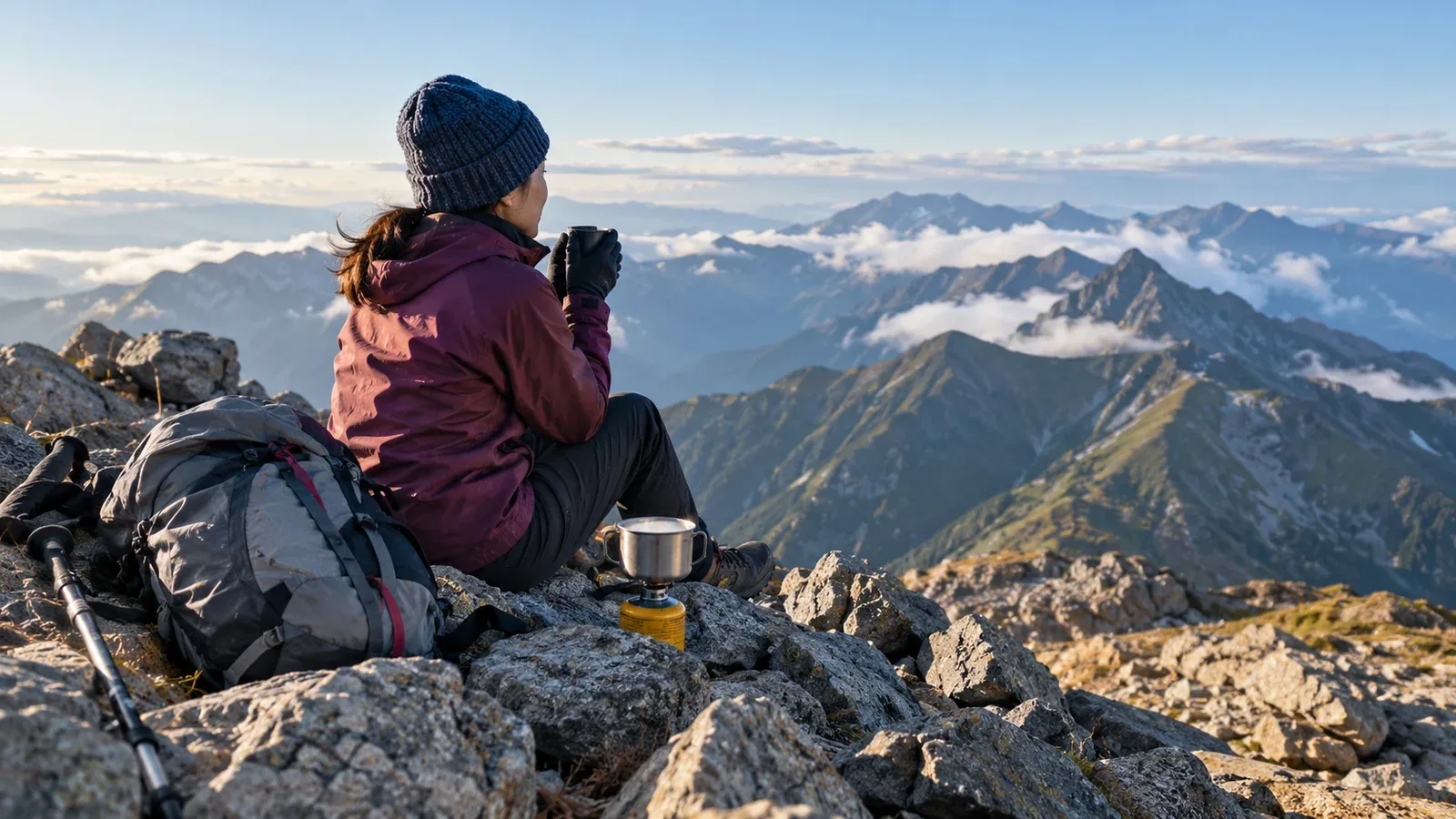
Sometimes the surprises come only when you reach the summit. You need a toilet, you're much colder than expected, or the time you have left for the descent is far shorter than you'd planned. Expensive gear and good fitness alone can't prepare you for conditions you haven't thought about.
Here are three common summit problems, how to prepare for them and what to do when they arise. Make the main decisions before you leave so it's easier to act on the day.
Check what toilets are available near the summit
There may be no toilet at the top. If there is one, it may charge a fee or be a booth where you need your own portable toilet bag. A toilet in the trailhead parking lot doesn't help several hours later on the ridge.
Three ways to check in advance
- Look for toilet symbols on a hiking map such as Shobunsha's “Yama to Kōgen Chizu”. If none are marked, plan as if there are no toilets on that stretch.
- Check official local government and hut websites. Booths for portable toilet bags can change from year to year, so look before the season starts.
- Read the trailhead notice before leaving. It may show booth locations and rules.
Read the instructions for the portable toilet kit before your trip. Seal and pack it out after use. Use a designated collection point or follow local disposal rules.
If you suddenly need a toilet at the summit
After several hours on the trail, you may need a toilet even if you used one at the start. Plan for stretches without facilities.
- Use the toilet before heading onto a ridge or toward a summit where the next one is far away.
- Bring at least one portable toilet bag in case you need it.
To protect the environment and respect other visitors, avoid relieving yourself on the ground outside designated areas. Check the rules from local authorities and mountaineering organizations.
Why it feels so cold at the top
A common mistake is to set out in light clothes because it's summer and find yourself stuck in cold, strong wind at the top. The summit is usually cooler than the trailhead and more exposed. If you're sweaty when you stop, wind can take away heat quickly.
Why the cold comes on so quickly
Walking generates heat. When you slow or stop, you produce less heat. Damp clothing and wind can make you cool faster, even in summer.
Air temperature generally drops as you climb. About 0.6°C per 100 m is a common estimate, and the actual drop varies with conditions. The farther above the trailhead the summit is, the greater the temperature difference can be.
What to bring and when to put it on
Pack these where you can reach them.
- A warm layer, such as lightweight down or fleece, and protection from the wind to put on as soon as you stop.
- A wind shell or waterproof jacket. Even a thin windproof layer can make a large difference in how cold you feel.
- Gloves and a light hat. Hands and ears can get cold on a ridge or summit even in summer.
When you reach the summit, take these steps.
- Stop somewhere stable and put on your wind shell or rain jacket before you cool down.
- Change a sweaty base layer or wear a quick-drying fabric from the start. Cotton dries slowly.
- Rest in a safe place out of the wind, away from exposed edges and rockfall, and keep hut entrances clear.
If you feel cold and can still move safely, consider an early return. Intense shivering, confusion, slurred speech or difficulty using the hands can signal hypothermia. If you suspect it, seek emergency help immediately. In Japan, call 110 or 119. Get out of the wind, replace wet layers when you can, insulate the person from the ground and follow rescuers’ instructions.
Three ways a route time estimate goes wrong
Published route times estimate how long an adult of a certain fitness takes to walk a route. Use them as a starting point and allow extra time as a beginner.
Where time slips away
The descent takes longer than the ascent
Beginners often slow down on the way down. On the climb, you can pause when tired. On the descent, added strain on knees and ankles and time spent choosing footholds can slow you considerably. Splitting the total route time evenly between the climb and descent can give you a risky estimate.
You leave breaks out of the calculation
Check whether published times include breaks. Drinks, map checks, photos and changing layers can add half an hour or more.
You stay longer at the summit than planned
A short rest can stretch out when there's a view to enjoy. This pushes back the descent. Work backward from your deadline to be off the mountain before dark.
How to build a realistic schedule
Make a timetable that includes your time at the top.
- Add up the published route times.
- Allow around 1.3–1.5 times the published time as a beginner. Adjust for fitness, pack weight and route difficulty.
- Add breaks separately if they are not included, for example ten to fifteen minutes per hour as a starting estimate. Include a buffer for delays.
- Check sunset and work backward to set a firm finish time.
- Work out the latest time you can reach the summit, and decide to turn around if you'll miss it.
When you want another half hour at the top
It's easy to feel you have time to spare at the summit. Fatigue can make the descent slower than expected, so think carefully before changing the plan.
Check whether you can finish at least an hour before sunset if you start down now. Allow more time for shade, difficult terrain or a return connection. If the timing is uncertain, start down while you have daylight and can do so safely.
Plan for what happens after you reach the summit
Toilets, cold and timing may seem like separate problems, but planning for them before the trip makes it easier to respond.
Treat the summit as a point along the route. Keep energy and daylight for the descent, add a layer before you chill and use the last toilet before a long stretch without facilities.
What to do next
Mark toilets, ridges and the summit on your map. Buy a portable toilet bag if part of the route calls for one. Add a time margin and breaks to the published route time, then write down when you need to be back and keep it with you on paper or on your phone. If you'd like advice on route choices or timing in an unfamiliar area, use Nordwand to request a certified guide.
References
- Shobunsha, “Yama to Kōgen Chizu” route times and toilet locations.
- National Police Agency, mountain incident statistics and overview.
- Prefectural police mountain rescue teams, hiking safety information.
- Ministry of the Environment, portable toilet use in nature parks.
- Japan Meteorological Agency, mountain weather information.
References and sources
- Toilets and portable kits on Yakushima · Japan’s Ministry of the Environment
- Hypothermia and first aid · NHS
- How to call for mountain rescue · Government of Japan
- Elevation adjustment in climate data · Japan Meteorological Agency
- Sunrise and sunset calculator · National Astronomical Observatory of Japan