
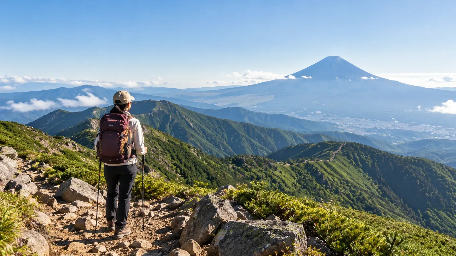
Mount Fuji combines high altitude, long ascents and descents, loose volcanic gravel and fast-changing weather. Practice on lower mountains can help you learn how to pace yourself, use your gear and recognize when to turn back.
Choose a practice route for the skill you want to build. The examples below span several regions. Check current trail access, local restrictions and transport before planning any of them.
Why practice on other mountains first?
Mount Fuji’s 5th Stations range from 1,440 m at Gotemba to 2,400 m at Fujinomiya. The highest point is 3,776 m. Each route has different distances and elevation gain, and much of the upper climb is high enough for altitude illness.
Fitness helps with the walk, while altitude tolerance varies. A practice hike can teach you to move on rock and loose gravel, use poles where appropriate and keep warm or dry when the weather changes.
Use practice outings to build endurance, learn to move on uneven ground and notice how you respond to fatigue.
Three things to compare when choosing a practice hike
1. Elevation gain and starting altitude
Start with a distance and total climb you can finish with energy for the descent. Add more uphill or longer walking as your experience grows. Compare each practice route with the Fuji trail you actually plan to take.
A short local walk can help you test equipment and foot placement. A higher trail changes the conditions and may introduce altitude illness. Avoid using a high-elevation climb to test whether you can safely push through symptoms.
2. Terrain
Look for short, manageable stretches of rock, gravel or steep trail that suit your current skills. Practice stable steps on terrain where you can safely turn back. Exposed ridges, chains or unstable slopes require their own experience and planning.
3. Time on your feet
Choose an outing long enough to practice pacing, eating, drinking and descending while tired. Gradually extend it if your shorter routes go comfortably. Official Fuji walking times vary substantially by route and exclude breaks.
Practice options in Kantō, central Japan and Kansai
These are examples of areas with different terrain and demands. Look up the exact route and its grade. Check current closures, transport and weather. A name alone tells you little about difficulty.
Kantō and Yamanashi
- Tanzawa, including Tō-no-dake and Tanzawa-san: The Ōkura Ridge toward Tō-no-dake is a sustained climb. Pick an appropriate turnaround point and check Kanagawa trail notices.
- Kinpu and Mizugaki in the Okuchichibu mountains: Routes can be rocky and exposed. Choose a route suitable for your experience and check Hokuto City’s maps and notices.
- Tanigawa-dake, Tenjin Ridge: A ropeway shortens the approach, but the exposed ridge still demands secure footing and a weather plan. Check Gunma’s route grade and instructions.
Central Japan and Nagano
- Kiso-Komagatake in the Central Alps: The ropeway reaches Senjōjiki at about 2,612 m. That is already high enough for altitude symptoms. Choose a short outing within your skills and be ready to descend.
- Utsukushigahara and Kirigamine: These upland areas offer shorter plateau walks for pacing, clothing and navigation. Check wind, visibility, access and seasonal closures.
Kansai
- Ōdaigahara and Mount Hidegatake: The highest point is 1,695 m. The eastern area offers a marked walk from the visitor area when open. The western area has separate entry procedures. Check the Environment Ministry’s notices and use a route that matches the group.
What to practice
Pick a few skills before leaving and note what worked when you get back.
- Pacing: Start at a pace you can sustain and leave energy for the descent.
- Food and water: Work out what is easy to carry and use on the move or during a stop.
- Rainwear and warm layers: Practice adding them quickly and keeping a spare layer dry.
- Foot comfort and fatigue: Check for rubbing, pain and changes in balance, especially downhill. Adjust your gear and route before the next outing.
- Altitude symptoms: If your practice route is high, watch for headache, nausea, dizziness or unusual fatigue. Stop ascending if symptoms appear, descend if they worsen and get medical advice about any concerns.
How many practice outings do you need?
Use several outings with progressively longer or more varied terrain to see how you do under different conditions. Choose the next hike based on what went well and what still needs practice. No fixed number of climbs or elevation gain establishes readiness.
Check the official Fuji season, entry procedures and route notices. The 2026 season has ended. The official 2027 outlook is early July to early September, with exact dates to be announced.
Before you go
Pick an accessible local trail that gives you one skill to practice and an easy way to turn back. Try the boots and pack you plan to use on Fuji. Compare your recent experience with the official description of your chosen route. Nordwand’s Base Camp is a place to ask about local trails.
Sources
- Official Mount Fuji climbing website: trail comparison and preparation
- Kanagawa, Hokuto and Gunma authorities: local trail guidance
- Japan Ministry of the Environment: Ōdaigahara
- Japan Meteorological Agency and CDC: weather and altitude illness
References and sources
- Official Mount Fuji climbing website — Trails and access
- Japan Meteorological Agency — Weather forecasts
- CDC Yellow Book — Altitude illness
- Official Mount Fuji climbing website — Preparing for the climb
- Official Mount Fuji climbing website — Current season outlook
- Kanagawa Prefecture — Hiking in Tanzawa
- Kanagawa Prefecture — Tanzawa trail status
- Hokuto City — Kinpu route guide
- Hokuto City — Mount Mizugaki
- Gunma Prefecture — Tanigawa-dake safety information
- Central Alps Ropeway — Senjōjiki brochure
- Nagano Prefecture — Kirigamine plateau
- Ministry of the Environment — Ōdaigahara
- Ministry of the Environment — West Ōdai entry requirements