
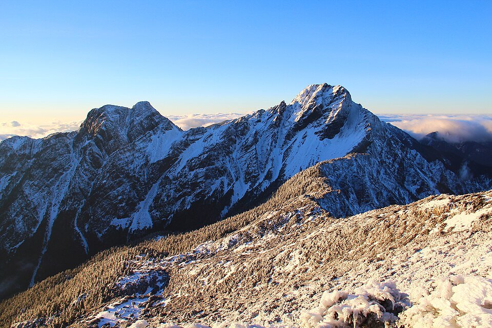
How seafloor rock rose to nearly four thousand metres
The convergence of the Philippine Sea Plate and the Eurasian Plate compressed and uplifted sediments that had accumulated on the seafloor. Geological records from Yushan National Park document sandstone, shale, and other rock types within the Yushan block. As the range was thrust upward, streams and weathering simultaneously carved it down, producing the sharp ridges and deeply incised valleys seen today.
The summit elevation is commonly given as 3,952 metres, a figure arrived at by rounding. The 2003 survey result cited by Yushan National Park was 3,951.798 metres, determined through a combination of levelling, gravity measurements, and satellite positioning.
Different names record who was looking at this mountain
Yushan National Park records that Tsou oral tradition refers to Yushan as pattonkan, while the Bunun name Tongku Saveq is associated with a high peak where people took refuge during a great flood. The name "Yushan" (Jade Mountain) appears in the Taiwan Prefecture Gazetteer compiled in 1685, which described the sight of pale rock on the distant mountain once the clouds parted.
In 1897, Japanese authorities, having measured Yushan as higher than Mount Fuji, named it Niitakayama (New High Mountain). After the war, the Taiwan Provincial Government restored the name Yushan in 1947. This naming history places the same mountain within three distinct frameworks: indigenous oral tradition, local written record, and modern surveying.
Reading the main peak trail from Tataka
The national park's trail map links the Tataka trailhead, Baimulin, Paiyun Lodge, and the main peak along a single route. From the trailhead to Paiyun Lodge is roughly 8.5 kilometres; from the lodge to the summit is approximately another 2 kilometres. Separating the two sections on the map makes it easier to read the difference in terrain: the first section traverses the hillside, while the second climbs steeply toward the high ridge.
Around the main peak lie the East Peak, West Peak, South Peak, and North Peak. When identifying them, the north–south spine through the main peak provides a useful reference, from which the subsidiary ridges extend to the east and west. The outline of Yushan also shifts with viewing angle: steep when seen from the southwest, more gently contoured from the northeast.