
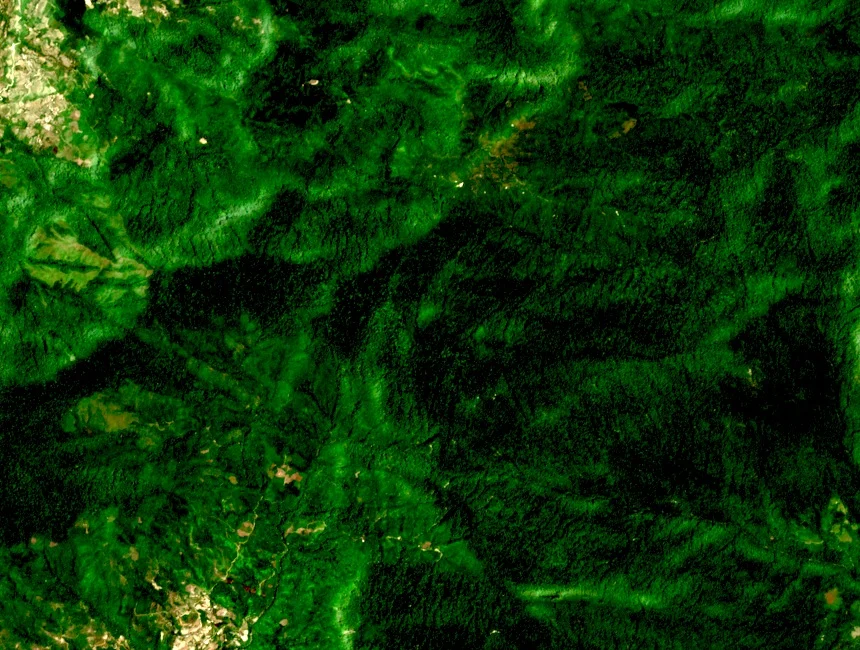
Summit and Forest Reserve
The summit occupies a massif within the former Hà Giang administrative area, where protected-area status as a forest reserve applies to the land surrounding the peak. The romanised rendering Ta Con Linh appears in some external records alongside altitude figures that differ from the VNAT survey value of 2,427 m.
Provincial Conservation Plan
Hà Giang's Department of Agriculture and Rural Development released a protected-area plan in 2024 covering the period through 2030, which designates the Tây Côn Lĩnh summit zone as a proposed ecotourism area. The plan establishes conservation as the governing framework for land-use decisions across the upper elevations.
Shan Tuyết Tea on the Lower Slopes
At the valleys and lower slopes below the summit zone, provincial sources document cultivation of Shan tuyết tea, an ancient variety of Camellia sinensis adapted to high-altitude conditions. These gardens occupy the cultivated lower elevations, distinct from the forested upper massif within the protected-area boundary.