
The Register and Its Limits
The Gazette of India for 1 September 2025 carries two Kangri entries in the Stok area, one at 5,508 m and one at 5,900 m, each with different coordinates. The Indian Mountaineering Foundation calls the 5,900 m listing Kangri II and supplies the same coordinates as the Gazette entry at that height.
P. P. Davis's firsthand 2001 Himalayan Journal account describes a party that left Stok on 27 June 2001, climbed the main Stok Kangri, and ascended a peak called Gulap Kangri, with a field sketch also distinguishing an unnamed Point 5985 in the area. The historical positions of those named and numbered features relative to the Kangri II administrative entry remain unresolved across the available sources.
Position in the Stok Range
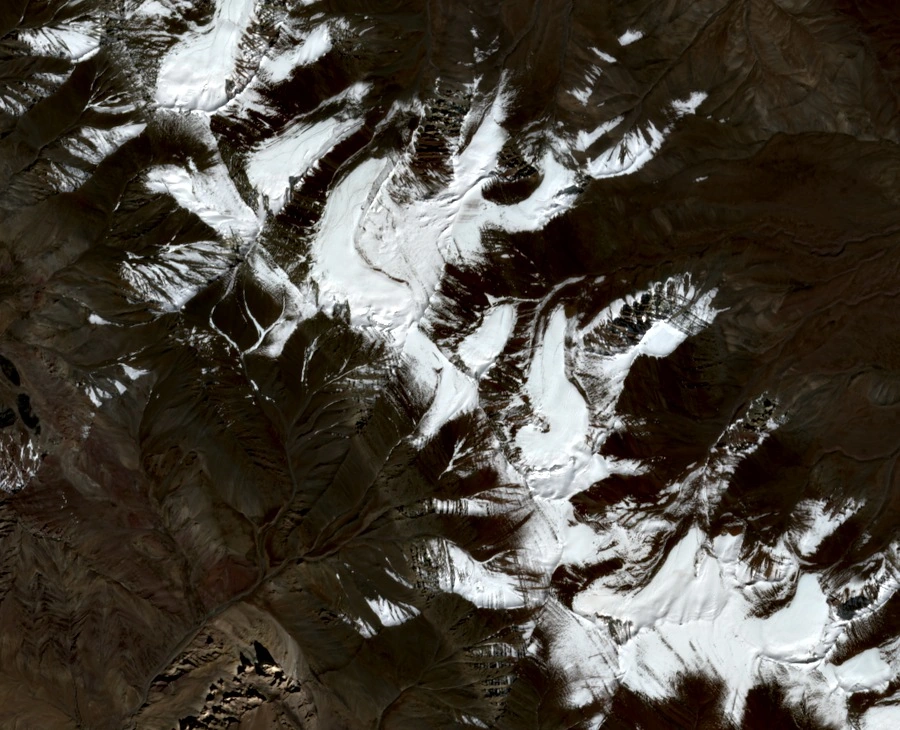
The Stok Range runs along the south bank of the Indus, opposite Leh, on the northern edge of the Zanskar Range within the Trans-Himalaya. The catalogue coordinates place Kangri II within the upper Stok Valley area, where satellite imagery reveals exposed ridges and tightly grouped ice basins that define the valley's upper reaches.
Bielefeldt's 2018 firsthand observations from the main Stok Kangri distinguish a broad two-topped ridge called Pyramid and a separate, farther feature called Golep Kangri among the range's elevated neighbours. These observed names provide geographic context for the character of the Stok Range and its surroundings.
Glaciers of the Measured Sector
Schmidt and Nüsser surveyed six glaciers in their Stok study sector, all with aspects between northwest and northeast and lowest elevations between 5,240 and 5,420 m. Ice area for that sector declined from 4.42 km² in 1969 to 3.43 km² in 2016. Across the valleys, large moraines mark earlier ice margins as ridges of debris left behind as the glaciers retreated, and Orr and colleagues mapped multiple generations of these features in adjoining Stok valleys.
The nearby Stok Glacier has a precisely measured record from a field-based mass-balance study by Soheb and colleagues covering five hydrological years from 2014 to 2019, using ablation stakes to measure ice melt and snow pits and probes to measure accumulation. In 2018 the team measured the Stok Glacier at 0.74 km² in area and approximately 1.8 km in length.
The Valley Below
The Stok catchment drains toward Stok village and part of Chuchot before joining the Indus. Soheb and colleagues' research described the role of glacier and snowmelt from this catchment in supplying irrigation water and meeting household needs in the villages downstream. The relationship between the shrinking ice area documented by Schmidt and Nüsser and the meltwater supply recorded by Soheb and colleagues gives the upper Stok Valley a significance that runs well beyond the question of summit elevation.
Stok village, named by the Indian Mountaineering Foundation as the approach locality for Kangri II, remains an active settlement, and on 7 August 2026 the Ladakh administration laid a foundation stone for village development and water conservation works there.