
Name and Official Spelling
The spelling Remutaka replaced the earlier form Rimutaka by official notice in 2017. LINZ records two accounts attributed to Rangitāne o Wairarapa and Rangitāne o Tamaki Nui-ā-Rua, both connected to the ancestor Haunui-a-Nanaia. One account refers to the edge of his cloak falling; the other to his sitting down to look over the landscape. These are recorded as distinct accounts from two iwi, and the Māori name does not carry a single fixed translation.
The Fell Railway and the Summit Incline
A railway route across the wider range opened in 1878. On the steep section between Summit station and Cross Creek, the line used Fell locomotives, a system in which horizontal wheels grip a raised centre rail for traction on the gradient. This incline was a defining engineering feature of the original route and remained in use until the replacement line opened.
A new route through the Remutaka Tunnel, measuring 8.8 kilometres, opened in 1955 and bypassed the incline entirely. The original Summit Tunnel was part of the old line near Summit station.
Geography of the Hill and Surrounding Features
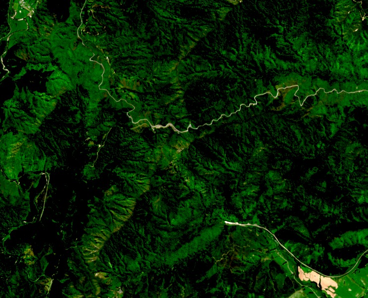
The hill at NZTopo50 BP33 872456 stands at 725 metres at the northern end of the Remutaka Range. The road pass crosses the wider range at a different point, and the former railway station known as Summit occupied yet another location within that landscape. Each of these — the hill, the road pass, and the railway station — is a distinct feature with its own position and character.