
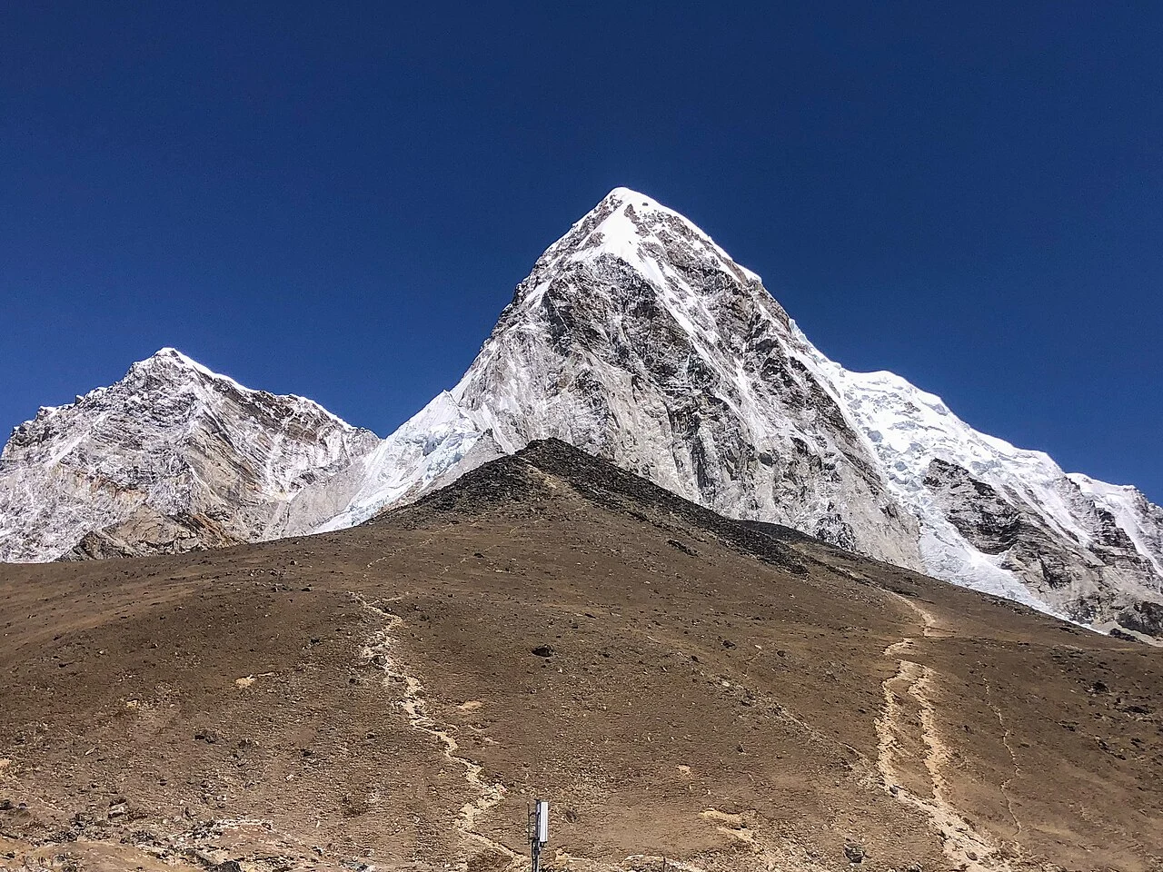
Position and Setting
Pumori sits within the Khumbu Himal on the border between Nepal and China. Sagarmatha National Park lists it among the region's notable high peaks. Its proximity to Everest makes it a prominent feature of the upper Khumbu landscape, with its own ridge systems and approach terrain.
The base area around Gorak Shep served as a staging point for the first ascent party and remains a reference location in the approach geography of the peak, as recorded by Lenser. Kala Patthar, the subsidiary viewpoint near Pumori, is a distinct feature and should not be conflated with the main summit.
First Ascent — 1962 Northeast Ridge
On 17 May 1962, Gerhard Lenser, Ernst Forrer, and Ueli Hürlemann — the last name appearing in variant spellings across sources — reached the summit as members of a German–Swiss expedition. Lenser's first-hand account in the Himalayan Journal describes an approach involving exploratory days from Gorak Shep, the placement of fixed rope on the lower steep ground, and a line that eventually joined the northeast ridge for the final push to the top. Sherpas Nima Tensing and Nima Dorje provided support during the ascent.
The 1962 team worked the southeast wall toward the Pumori–Lingtren col before eventually succeeding on the northeast ridge, following earlier attempts on the ridge and north face. Lenser's account records a shorter high-camp push with a tent and supplies, capturing the exploratory quality of a party reading the mountain's structure as they moved through it.
The South Face — A Distinct Problem
A 1972 expedition directed its attention to Pumori's south face, a feature the 1962 party had not climbed. The Himalayan Journal account of that effort records a consultation with Ueli Hürlemann himself, who confirmed to the later team that the 1962 route had stayed well away from the south face and had gained the northeast ridge without engaging that wall directly. This distinction — articulated by one of the original summiteers — clarifies how contemporary climbers understood the two lines as separate mountaineering problems on the same peak.
The expedition's summit record is documented in Maurice Gicquel's firsthand report: Yves Pollet-Villard, Yvon Masino, Georges Payot, and Jean Coudray reached the summit on 3 November 1972, followed by Pierre Blanc, Maurice Gicquel, Raymond Renaud, and sirdar Ang Temba on 4 November. The expedition's contribution to the documented record includes a clear delineation of the south face as terrain distinct from that of the first ascent.
Elevation and Nomenclature
The two elevation figures in active use are 7,161 m from the Nepal Department of Tourism, the official national register figure, and 7,138 m from the Himalayan Database. Older figures appear in Lenser's report. Neither figure is treated here as definitive over the other.