
Summit and Traverse
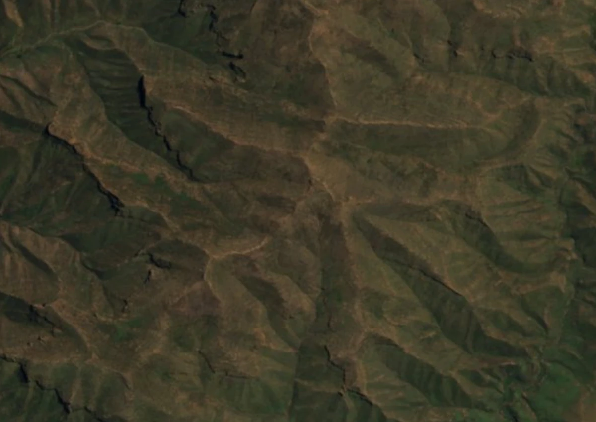
Jonathan Newman reached Makoaneng’s summit in 2022. His account of the Leqooa Ridge describes a wide summit surface and cliffs dropping from its northern flank. On the traverse he describes, his party found the eastern side sheltered and met strong winds as soon as they stepped onto the crest. They reached the ridge from the Leqooa River valley, where the mountain rises above a network of smaller ravines.
Vegetation on the Surrounding Slopes
Botanists surveyed the highland vegetation near Matebeng Pass, about 10 km south of the Makoaneng summit. In February 2020, botanists collecting grasses at around 3,125 m on a basalt substrate described shrubby heath dominated by Erica and Helichrysum alongside grazed highland grassland. The authors recorded these plants on the slopes above the pass, where grazing and patches of low shrubs were both visible.
Debris Ridges and Glacial Interpretation
Geomorphic research on the Leqooa Valley below the ridge has produced a contested record. Mills and Grab in 2005 assessed paired debris ridges on a south-facing slope in the valley and proposed that former glacial processes were responsible for their formation. A 2025 study investigated Tsatsa-La-Mangaung, another site in eastern Lesotho, and documented how bedrock structure and erosion shaped its debris ridge. The team also identified bedrock outcrops above the Leqooa formations in satellite images and called for fieldwork there. Establishing how these ridges formed would help researchers assess how cold the highlands became during past glacial periods.
Headwater Grazing and Highland Settlement
The Leqooa headwaters support documented pastoral activity recorded in both the Maloti–Drakensberg UNESCO nomination dossier and a National University of Lesotho energy-resource survey. The nomination's baseline survey of the Leqooa sources grazing area names Themeda triandra—known locally as seboku—among the perennial grasses, and tabulates households from Matebeleng, Sehlabathebe, and Thamathu communities using those upland pastures. The National University of Lesotho’s survey mapped cattle posts and settlements near both the Leqooa and Qulu rivers. Those records describe how people use the valleys and headwater pastures below the high ridgelines.