
Terrain and Setting
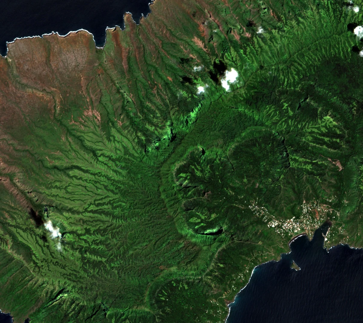
Official maps mark Feani and the higher Mount Temetiu as two named summits in the western highlands. Deep, branching valleys cut through the volcanic landscape. The 4 January 2026 Sentinel-2B image shows forested ridges inland from the coast at Atuona.
Field Botany and Specimen Record
On 8 December 1921, collector F. B. H. Brown gathered a plant specimen on Feani at a reported elevation of 800 metres. Brown formally described the white-flowered shrub Cyrtandra feaniana in 1935, naming it for the ridge; modern revisers confirmed that specimen Brown 827 (BISH-509530) is the holotype and documented a wider Marquesan range spanning Hiva Oa, Nuku Hiva, Ua Huka, and Tahuata. A separate expedition produced a second accession — entry P06234788 in the Muséum national d'Histoire naturelle, Paris, dated 30 January 2003 — recorded at a reported 1,090 metres on the Feani ridge, representing a distinct date, collector, and elevation from the 1921 collection.
Land-Use Designation
A French Polynesia environment department report records that the 2011 local land-use plan designated the Feani–Temetiu highlands for mountain protection. Subsequent planning documents discuss the summits together with the surrounding ridges and gullies, which shelter patches of humid montane forest.