
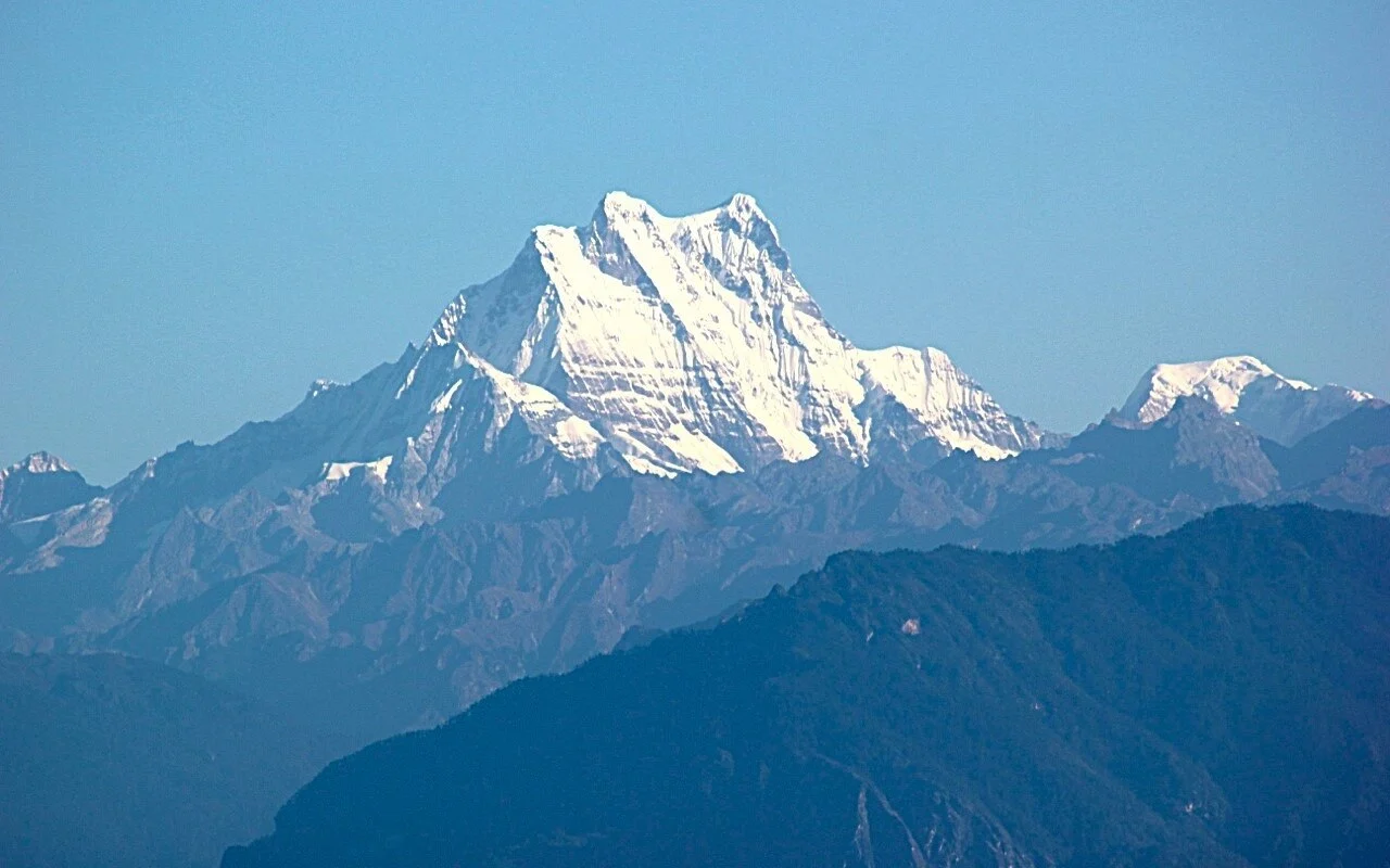
Spelling Variants Across Expedition Records
The mountain appears as Masang Kang, Masa Gang, and Masagang across expedition literature, with the Academic Alpine Club of Kyoto University using Masa Gang in its own archive. The American Alpine Journal's 1985 account and Mount Everest Foundation records introduce further spelling variations, and readers consulting historical sources will encounter all three forms.
First Ascent by Kyoto University, 1985
Ryohei Hori led the Academic Alpine Club of Kyoto University expedition that achieved the first ascent. The team approached through Dreteng yak pasture at 5,025 m near Toma La, established a camp on the foresummit on 8 October 1985, and reached the main summit on 13 October 1985.
1993 British Southwest Attempt
A British expedition attempted Masang Kang from the southwest in 1993, with the Mount Everest Foundation holding the primary record of this attempt. The glaciated upper slopes rise above the Laya highlands, a pastoral zone of seasonal transhumance along Bhutan's northern border range adjacent to the Tibetan Plateau divide.