
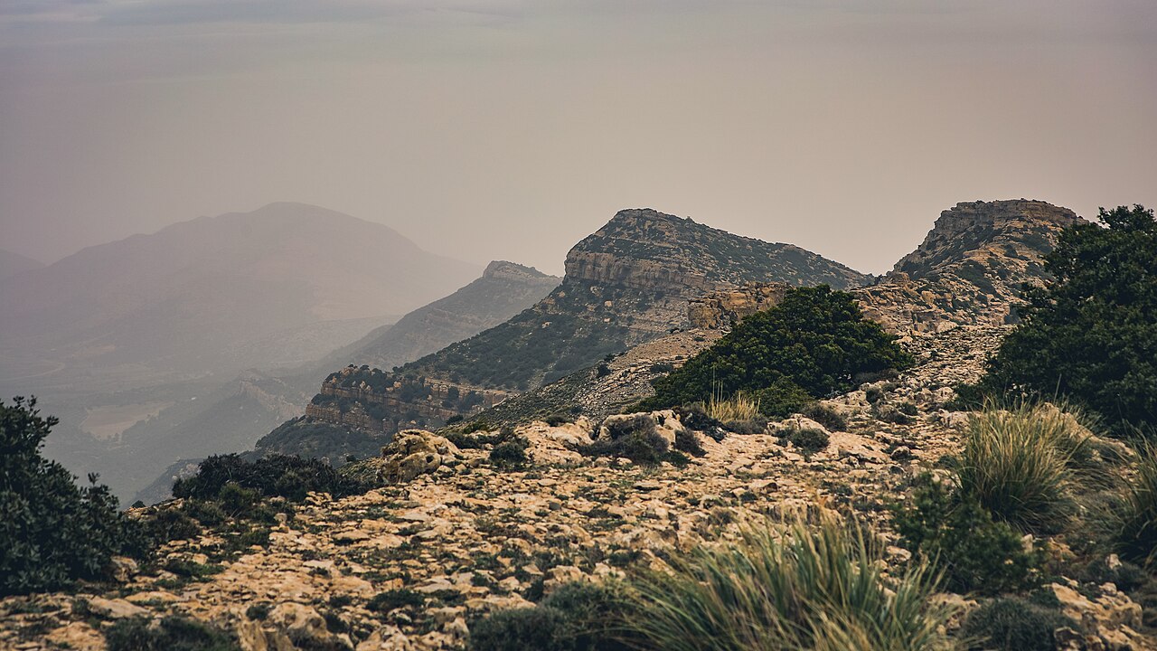
Elevation and Massif Character
The Ministry of Environment's national environmental profile gives the summit elevation as 1,347 metres, and this is the figure used here. The massif sits within the central Tunisian Dorsal and is composed of soluble limestone, the geological basis for the karst features documented on its slopes. Its position places it near the margins of two distinct drainage systems: the Medjerda basin, which drains northward, and the Zeroud and Merguellil basins, which drain southward into central Tunisia.
Karst Features and the Aïn Dahab Spring
The Ramsar information sheet for the Aïn Dahab wetland documents two features on the southwestern slope of Jebel Serj lying approximately 60 metres apart: a spring that emerges from a cave opening and feeds the Aïn Dahab wetland, and a dry fossil cave nearby. Both are formed in the same soluble limestone geology characteristic of the Dorsal. The Ramsar documentation does not assert an underground connection between the fossil cave and the active spring, nor does it specify the route or mechanism by which the spring water reaches the surface. Holm oak and Aleppo pine are recorded in the woodland surrounding these features.
Montpellier Maple Reserve and National Park
In 1993 the Ministry of Environment established a nature reserve on Jebel Serj specifically to protect a grove of Montpellier maple, Acer monspessulanum. The grove's conservation was the founding rationale for that protected area. In 2010 a national park was formally established on the mountain, expanding the scope of protection to encompass the broader massif, including its karst features, woodland communities, and position within the Tunisian Dorsal. The Ministry does not provide current counts of the maple population, so the grove's present extent is not stated here.