
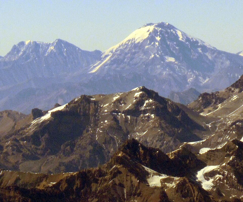
Name and historical cartography
Historical maps identified this summit as Cerro de los Relinchos, a name that lives on in the glacier of the same name. The current name honors the naturalist Florentino Ameghino. The Ameghino Glacier and the Relinchos Glacier were catalogued by the CONICET inventory in the upper basin of the Río de las Vacas.
First documented ascent
On 16 March 1938, Juan Semper and Ángel Landi reached the summit during a Club Andinista Mendoza expedition to Aconcagua. The two climbers separated from the main group and ascended Ameghino from the col connecting it to the neighboring mountain. This is the first documented ascent of the summit.
Traverses through the glacier sector
An account published in the American Alpine Journal in 1993 describes a 1991 expedition to the summit of Aconcagua. The report describes how the team reached the col between Ameghino and a 5,116 m point, and continued the traverse across the Relinchos Glacier.