
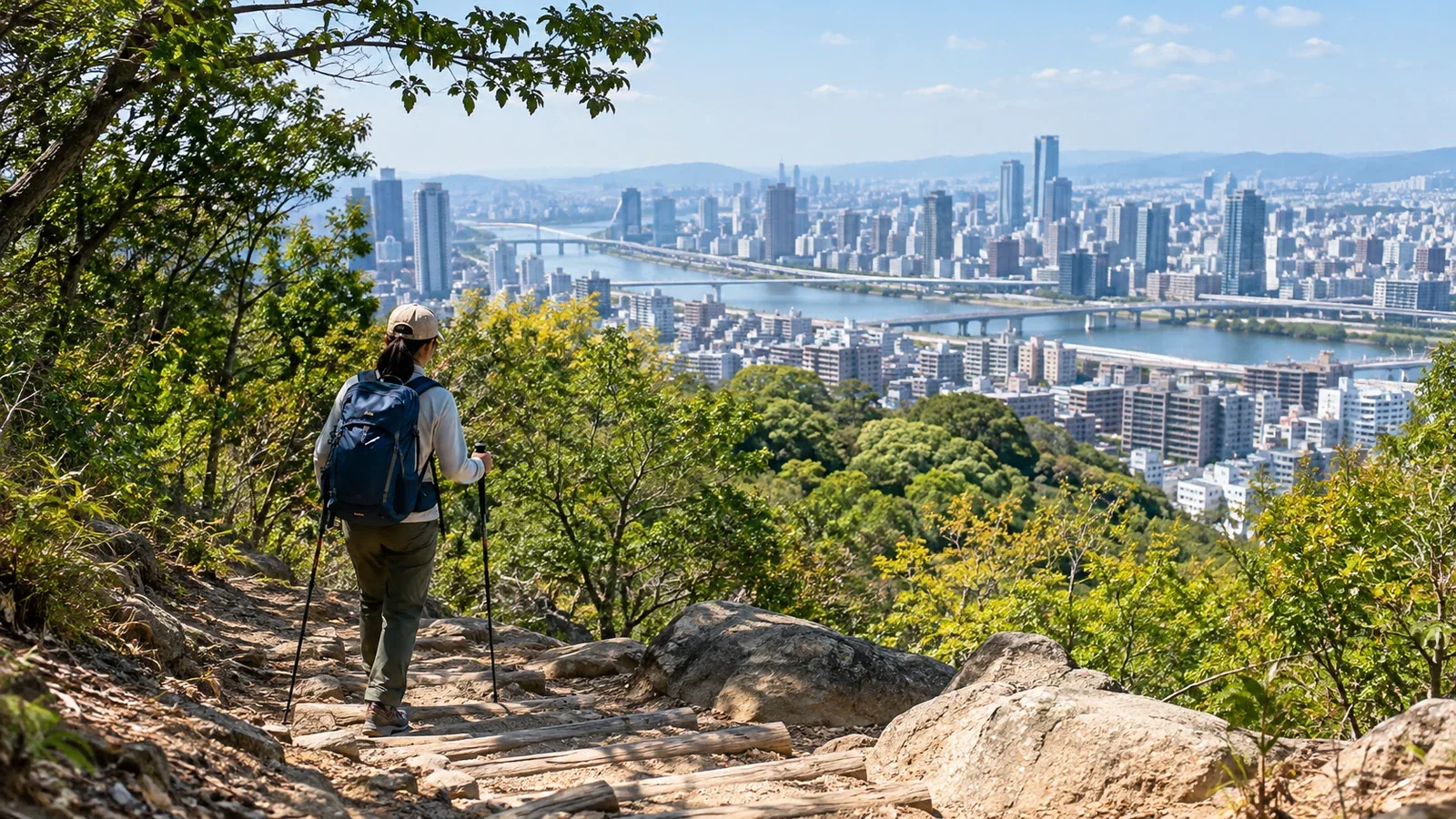
A train ride of several hours can put your first hike out of reach before you’ve taken a step. In Tokyo’s 23 wards and in Osaka, you can work a hill or a flight of steps into an ordinary walk.
Try out your shoes and pay attention to how you place your feet on nearby slopes. That will give you a better idea of what to prepare for your next hike.
Two hills in Tokyo’s 23 wards
Two places to start in central Tokyo are Mount Atago in Minato and Mount Hakone in Shinjuku.
Mount Atago is a natural hill, 25.7 metres above sea level, with Atago Shrine at the top. The main approach, known as the Steps to Success, is steep. Check the access signs and take a route you can manage. Mount Hakone in Toyama Park is a landscaped hill at 44.6 metres, the highest point inside the JR Yamanote Line loop.
On hills like these, you can practice adjusting your stride as the ground changes. The same pace and stride feel different on pavement, stone steps and bare earth. Keep to paths open to visitors.
Slopes in Osaka and mountains nearby
In the city, you can get a feel for the rise of the Uemachi Plateau around Tennoji. For a walk on mountain trails, consider Mount Ikoma on the Osaka–Nara prefectural border.
Chausuyama in Tennoji Park is a small hill at about 26 metres above sea level. Walk along the edge of the plateau and see how the streetscape changes above and below the slope. Tennoji Ward’s walking map links slopes and historic sites.
For your next outing, choose a nearby hill after checking how you’ll get home. Trails climb Mount Ikoma, about 642 metres high, from Higashiosaka. On the Nara side, Kintetsu’s Ikoma Cable runs from Ikoma City. Check trail access and timetables before deciding how to go up and back.
What to practice on a city hill
On your first outing, focus on one thing: footing, pace or gear.
Check how you place your feet
On a quiet, gentle slope, see whether your shoes slip at the heel and whether shorter steps help you place your feet on the way down. On steep shrine stairs, leave room for others and use a handrail where available.
Find a pace you can sustain
Start the climb slowly enough to keep talking. Keep the descent unhurried too, and settle into a pace you can hold all the way back.
Walk with your gear
Take the pack you plan to use for a day hike, with water, snacks, rain gear and first-aid supplies. Notice where it presses on your shoulders, how much the load shifts and whether you can reach what you need. Adjust your packing when you get home.
How to choose a place to practice
Look at a map before you leave and check the following.
- Surface. Is the route paved throughout, or are there sections with dirt and exposed roots?
- Round-trip time. Start with a distance you can comfortably cover in an hour or two.
- Shortcuts back. Can you get to a station or road if you tire?
- Toilets and water. Check what is available and carry the water you need.
- Season and weather. Plan for heat and humidity in summer and ice in shaded spots in winter.
In summer, heat radiating from hard surfaces and high humidity can make even a short city walk taxing. Check the forecast and Japan’s Ministry of the Environment heat index (WBGT) to decide whether to change the time or postpone.
Access and opening hours vary by park and shrine. Check the official guidance and follow signs on site.
When you’re ready for a longer hike
Once your shoes and pack feel right on a city hill, look for a trail suited to your fitness and walking time. Try Takao or Okutama in Kanto, or Minoh or Mount Kongo in Kansai. Trails on the same mountain can vary widely in difficulty.
When you finish a familiar walk with energy to spare, consider a slightly longer route. Increase distance and elevation gain separately so it’s easier to tell what made the walk harder.
Try this on your next day off
Use GSI Maps or a similar map to find a hill within an hour of home. Walk in the shoes and with the pack you plan to use, and note what you want to adjust, such as a spot that rubs or a load that shifts. The Nordwand community can help you find someone to walk with nearby.
References
- Geospatial Information Authority of Japan: GSI Maps
- Ministry of the Environment: Heat Illness Prevention Information
- Atago Shrine: Facts about Atago Shrine
- Tokyo Metropolitan Park Association: Toyama Park
- Tennoji Ward, Osaka: Uemachi Plateau Walking Map
- Higashiosaka City: Mount Ikoma Hiking Routes
- Kintetsu Railway: Ikoma Retro