
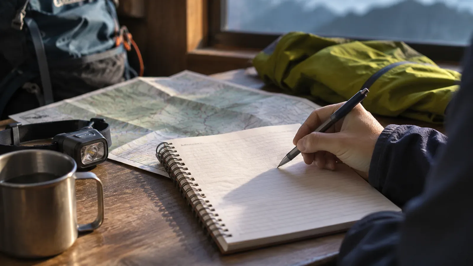
Use more than the distance to the summit to decide whether to continue or turn back. Consider your visibility, how people feel, conditions on the ground and how much energy and time you have for the return. The police guidance we checked on October 28, 2026, urges hikers to assess conditions on the day and turn back if needed. It gives no universal distance or time threshold. The exercise below uses that guidance to help you prepare the night before.
Official guidance asks you to assess conditions on the day
Atsugi Police Station urges hikers to look at their health, the weather and the situation on the ground on the day and be ready to cancel or turn back mid-hike. Hiroshima Prefectural Police also urges hikers to avoid pressing on when they have doubts. Low visibility from bad weather, cloud or fog increases the chances of getting lost, tripping, falling or slipping. The police advise ending the hike early when you feel unwell or visibility is poor. The National Police Agency’s 2025 overview likewise asks hikers to make an accurate assessment and end the trip early when appropriate.
These are things you can see or feel at the time. The documents give no cutoff based on distance or walking time to the summit. For a numerical limit, such as a time or elevation, look up information specific to your route from its managers or official notices and agree on a limit yourselves. Hiroshima Prefectural Police also notes that its mountains are at or below 1,500 metres and often look easy, yet people have gone missing or died after getting lost or falling. You still need to assess conditions on a low mountain and close to the summit.
How “almost there” can affect judgment
The editorial team sees a possible reason why hikers continue near the summit. The reason to continue is obvious because the summit is close. Reasons to turn back, such as fading visibility or heavy legs, can be harder to judge and easy to discount. The distance left on the climb also leaves out the return. After reaching the summit, you still have to get down with the energy and visibility you have at that point.
Hiroshima Prefectural Police advises planning around the person least confident in their fitness and allowing time to rest. The National Police Agency also recommends a schedule with time for breaks. We read that margin as time to reach the summit and room to turn back when conditions change. Nara Prefectural Police identifies overambitious plans as a main cause of mountain incidents. The documents provide general planning advice, which we apply here to the summit approach.
Four questions to ask before the summit
We suggest answering four questions based on the official guidance. Set no universal pass mark. Agree the night before to stop going forward if even one answer is “no” or “I don’t know.”
First, visibility. Can you see the next landmark or where the trail goes? If low cloud or fog makes the trail hard to make out, treat it as a higher risk of getting lost, tripping or falling.
Second, health. After a break, can the person least confident in their fitness walk comfortably?
Third, conditions. Do you know the hazards ahead and how the weather is changing? Do you have a safe option to skip the section or turn back? If you cannot assess a hazard or see how to respond to worsening weather, treat that as a reason to stop going forward, just as you would with uncertain visibility or health.
Fourth, the return. Do you have the energy and a safe way to descend by retracing your steps or taking an escape route you checked in advance? Hiroshima Prefectural Police and the National Police Agency advise against wandering after a possible wrong turn and give safely retracing your steps to the marked trail as one option. Hiroshima advises staying put and calling for help or rescue if you cannot determine your location or way back. The National Police Agency points out coverage and battery limits. Atsugi recommends a paper map and a power bank. Take these limits into account now. Plan your return before committing to the summit.
Stop on stable footing where others can pass before reviewing the questions or checking the map. If there is no suitable spot, avoid wandering when you do not know where you are or walking when you feel too unwell to move safely. Assess footing, location and your ability to move. Ask for help if you cannot move safely. The checklist can wait while you assess those conditions.
Practise the summit approach on paper the night before
First, put the section before the summit, its hazards and escape routes in your plan. Hiroshima Prefectural Police and the National Police Agency ask hikers to identify hazards and escape routes ahead of time. Hiroshima recommends sharing a copy of the hiking notification with family or the workplace. The National Police Agency notes that sharing the plan can expose gaps. See what you cannot yet write down about the summit approach to find the gaps in your own preparation.
Next, write down a situation where you might hesitate. In one line, say which of the four questions it raises and what you would do. Here are three examples. The summit is visible, but clouds are closing in and you cannot make out the trail ahead. One person goes quiet and needs more breaks while the others feel fine and say they are nearly there. The sky looks worse than the forecast you checked at the trailhead suggested, but the summit is close.
For the first example, write, “The answer about visibility is no, so I stop and check my position and footing. If I can follow my steps back safely, I turn back. If I cannot locate myself or find the way back, I stay put and call for help.” It is an exercise in putting the possible responses into words before you face the situation on the mountain.
Share the questions with your companions the night before. Near the summit, people may find it hard to voice doubts. With an agreement in place, you can bring up turning back by referring to what you all agreed. That is the editorial team’s inference. Atsugi Police Station advises against hiking alone and recommends going with an experienced leader. If you do go alone, tell the person who has your plan the questions and the conditions under which you would turn back. That gives them something concrete to discuss with you if you can reach them.
Use the remaining distance as one part of the decision
Official guidance asks you to consider health, weather, visibility and conditions on the ground. The documents give no summit-distance cutoff. We suggest treating the distance left as one factor and deciding with four questions about visibility, health, conditions and the way back. The night before, add hazards and escape routes to the plan and write a one-line response to each practice situation. On the day, compare what you see with what you wrote. Use route-specific information for any numerical limit. Stay prepared to cancel before departure or turn back during the hike when there are doubts.