
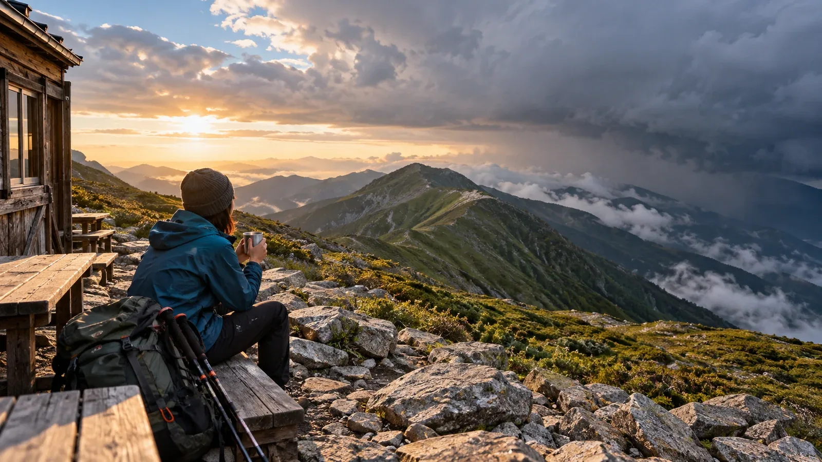
On a multi-day hike, the forecast may change overnight while you're at a hut. Once you're on a ridge, some stretches are difficult to backtrack along. Before leaving, consider when you would continue, wait, or take a different way down.
A forecast helps with more than choosing whether to set off. Work out which day is most likely to bring bad weather, when exposed ridge sections could be risky, and how your escape routes fit in. Here's how to use different sources, read forecasts several days ahead, and make decisions on the ridge.
How much can you rely on forecasts several days ahead?
In the Japan Meteorological Agency's weekly forecast, the prediction of precipitation or no precipitation 3 to 7 days ahead receives a confidence rating from A to C, based on how likely it is to be right and how likely it is to change. The rating applies to a forecast area, such as a prefecture. It does not tell you when precipitation will start or what the wind will be on a summit. Use longer-range forecasts to see the broad pattern and update the plan before leaving and during the hike.
Separate the following two kinds of information when planning your route.
- Timing of fronts and low-pressure systems: Use the forecast several days ahead to get a rough sense of when conditions may deteriorate. When it is updated, check whether the change might arrive earlier or later.
- Wind, temperature, and visibility on the ridge: Check forecasts for the mountain area and actual observations the day before and the morning you leave. Note the forecast point and elevation and whether a figure is a mean wind or gust. Watch conditions on the trail too.
In the planning stage, identify days when conditions could deteriorate and make room for a spare day or an early descent. The day before and the morning of the hike, check the detailed forecast for the hours you'll be exposed on the ridge. Reassess if the weather changes on the trail.
How to use different weather sources
Three types of information are useful on a multi-day hike.
Weather charts, warnings, and advisories from JMA
Start with the surface analysis and forecast charts to see where fronts and low-pressure systems are and where they're heading. Upper-air charts and numerical model charts give clues about features such as troughs aloft. Automatically generated model charts can differ from the agency's official forecast, so also check the forecasts, warnings, and advisories it issues.
Mountain weather services
Japan Weather Association's tenki.jp mountain weather and similar services show foothill forecasts and model data for the mountain area. Even on a summit or trail forecast, check the forecast point, elevation, and valid time, and whether the wind figure is a mean or a peak gust. Read the changes in wind, precipitation, and temperature alongside the weather icon.
AMeDAS and current observations
On the morning of the hike, check temperature, wind, and precipitation at nearby stations, for example in JMA's AMeDAS network. Note the station's elevation, terrain, and observation time. Conditions at the foot of a mountain can differ from those on the ridge. Use radar and nowcasts to see how rain and lightning are moving in the short term.
Estimating when the weather will turn
Try to avoid being on exposed terrain when bad weather arrives. That means looking at the likely hours of deterioration as well as the day.
As a cold front approaches, clouds can build, winds can shift, and sudden rain or thunder can develop. Wind and temperature changes depend on the front's track and the terrain. A forecast of rain from early afternoon leaves room for an earlier or later start. Build in a margin and watch rain clouds and the sky.
On a day when bad weather is expected, shorten or omit time on exposed ridges. Plan to walk at a manageable pace during more stable hours, and prepare a spare day, a wait at a hut, a shorter route, or an early descent.
Deciding whether to wait or descend
One of the hardest decisions on a multi-day hike is whether to wait or continue. Consider the weather alongside the remaining route, the group's condition, food and water, and options for getting down.
At a minimum, seriously consider holding off in the following situations.
- You expect to enter an exposed ridge when lightning is forecast. If thunder or other signs indicate lightning is approaching, follow JMA guidance and seek safe shelter promptly.
- Visibility has dropped so much that finding the route is difficult.
- Wind or gusts could make you lose your balance. As a general indication, JMA says mean winds of 15 m/s to under 20 m/s can make it impossible to walk into the wind. Exposed terrain and gusts can make weaker winds dangerous too.
- Actual conditions are much worse than the previous forecast and still deteriorating.
Consider whether you could stay safe if conditions deteriorate further and whether you can use your waiting place or descent route. Plan for delays or an early exit, and check in advance whether the hut can accommodate an extra night, what food and water are available, and where the exits are and whether they are passable.
When to check the forecast
Check the weather at the following points throughout a multi-day hike.
Three to five days before departure: Use weather charts and the weekly forecast to get a broad view of pressure patterns during the hike. Identify the day a low-pressure system could pass and consider rearranging the itinerary.
The evening before: Check the next day's detailed forecast for wind and precipitation by time of day. Compare the mountain forecast with JMA's forecast and note any major differences before making a final decision.
The morning of departure: Check current observations, the latest forecast, and warnings and advisories for changes since the night before. Decide whether to enter the planned section.
The morning after staying in a hut: Compare forecasts you can get at the hut and local information from the staff with the latest forecast and what you observe. Adjust the day's plan.
Mobile coverage can be patchy in the mountains. Save the forecast and maps before leaving and update the information where you have a signal. Decide at which junctions you'll reassess so you can still make decisions offline.
What to do next
Before leaving, compare JMA's weekly forecast and weather charts with the forecast for your mountain area. Mark where changes in wind, rain, or temperature overlap with your itinerary. Agree which junctions you will reassess at and where you could wait or descend if conditions worsen. Nordwand's communities and guide listings can help you find someone familiar with the area.
References
- Japan Meteorological Agency (weekly forecasts, confidence ratings, and weather charts)
- Japan Meteorological Agency (warnings and advisories, lightning nowcast, and precautions for lightning and strong winds)
- Japan Meteorological Agency and Japan Weather Association (AMeDAS and mountain forecasts)
- Japan Mountaineering and Sport Climbing Association (hiking plans and escape routes)
References and sources
- Japan Meteorological Agency | Weekly forecasts and confidence ratings
- Japan Meteorological Agency | About weather charts
- Japan Meteorological Agency | Weather warnings and advisories
- Japan Meteorological Agency | Using the lightning nowcast and understanding its limits
- Japan Meteorological Agency | Staying safe around lightning
- Japan Meteorological Agency | Wind speeds and their effects
- Japan Meteorological Agency | AMeDAS surface observations
- Japan Weather Association tenki.jp | Mountain weather
- Japan Mountaineering and Sport Climbing Association | Planning a mountain trip