
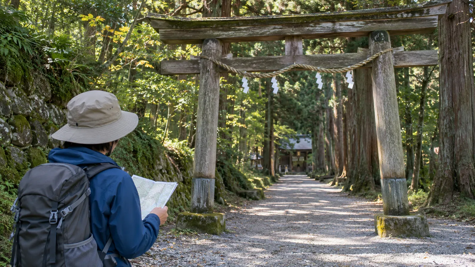
If you plan to visit a Shinto shrine before or after a hike, locate the shrine on the map first and check the entrance to its approach separately. A torii-shaped symbol cannot tell you where to go in. The gate explains what the symbol looks like. The actual entrance comes from the site's directions. This article uses GSI's mapping standards and Togakushi Shrine's official guide, checked on October 28, 2026, to show how to find the entrance once you know which shrine you want to visit.
The torii shape helps you recognise the symbol
GSI's Kids page on the shrine symbol explains that its shape comes from torii gates, such as those at entrances to shrine approaches. Large or well-known shrines are labelled by name. Buildings belonging to Shinto churches and similar organisations do not use the symbol. The page describes the symbol's shape and what it represents.
The shape of an entrance gate does not mean that the symbol marks the entrance itself. Avoid identifying a line leading to the symbol as the shrine approach or deciding which direction to enter based on the orientation of the symbol. Use the shape to recognise it, and consult the shrine's directions to learn where to enter.
Once you spot a possible shrine on the map, check its name. If there are several nearby, use the official guide to match the symbol to your destination. Keep distinctions like Okusha and Chusha. Choose which shrine you want to visit before looking up its entrance.
Use the map standard to identify the shrine and read its name
Article 36 of the GSI specifications for 1:25,000 topographic maps gives symbol 66 for shrines that serve as landmarks. Well-known shrines or those needed to describe the area are labelled by name. The table shows the torii shape but does not specify it as an approach entrance. Use it to identify a shrine.
Article 34 says that building symbols indicate the function of a building and gives placement rules, such as centring the symbol when it fits within the building outline. Article 35 allows the building name to replace its function symbol. Look for names as well as small torii symbols when you read the map.
These conventions apply to GSI topographic maps. A hiking map or site plan may provide its own entrance markers and arrows. Check its legend and notes. Similar-looking symbols on a topographic map and the site's guide may represent different things.
Use the official guide to check the entrance and the destination
Togakushi Shrine's official guide to its five shrines lists Chusha to the entrance of the Okusha approach and that entrance to Okusha as separate legs. At the time of checking, it gave about 30 minutes on foot for the first and about 40 minutes on foot for the second, with no car access on the second leg. Reaching the approach entrance still leaves a walk to Okusha.
The same guide breaks the walk down further: about 15 minutes from the entrance to Zuishinmon Gate, then about 25 minutes from the gate to Okusha. With intermediate landmarks, you can record the entrance, gate and destination separately. The timing from Chusha to the entrance covers only part of the walk to Okusha.
These times illustrate how to read the official guide. Your pace and conditions on the day can differ. The page also states that the Okusha shrine building is closed in winter from January 7 to late April. That concerns the shrine building. Check the current advice for the time of your visit and the conditions and equipment needed before deciding whether to walk the approach in winter.
Include the walk beyond the entrance in your plans
The editorial team suggests noting the shrine you want to visit, the entrance that leads to it, and the landmarks along the way. Check the shrine's name on the topographic map. Look up the entrance name and route sections in the site's own guide, then cross-check the two. Plan both the trip to the entrance and the return walk between the entrance and shrine. A single symbol on the map only covers one piece of your planned stop.
When agreeing where to meet your group, use the same specific name for the entrance or the shrine building you mean. If the guide separates driving and walking, note which is which. Check the directions for your means of transport before treating a shrine symbol as a car park or the end of a drive.
The Japan Sport Council's manual for high school mountaineering instructors recommends using the latest topographic maps, hiking maps and guidebooks available. It also advises preparing alternatives, escape routes and turnbacks as thoroughly as the main route. The same planning principle applies when you might have to skip the visit.
If you cannot locate the entrance or find information for the time of your visit, prepare to skip the stop instead of adding an unverified path to search for an entrance. A shrine that looks close on the map gives you no reason to assume a shortcut exists or that you can cross private land. If you choose another route, check its conditions and travel time separately.
If you intend to visit after coming down from the mountain, check whether the end of your hike is actually at the shrine approach. If another journey is needed, include it and share the itinerary with your group. If signs on the ground differ from what you planned, take time to recheck your directions instead of heading straight for the torii symbol.
Once you spot the symbol, look up the approach entrance
The shrine symbol gets its shape from a torii gate. Use the topographic map to identify the shrine and its name, then use the official guide to locate the approach entrance, any landmarks, and the shrine itself. Allow for the return walk beyond the entrance and check seasonal information. Leave unverified paths out of your itinerary and plan any change to your stop as a separate route.
References and sources
- Geospatial Information Authority of Japan (GSI): 2013 specifications for 1:25,000 topographic maps, Articles 34–36 and shrine symbol 66, printed pp. 25 and 29
- GSI Kids: Map symbol for a Shinto shrine
- Togakushi Shrine: Visiting the Five Shrines, information on Chusha, Okusha and Kuzuryusha, checked October 28, 2026
- Japan Sport Council: Safe and Enjoyable Mountaineering, a manual for high school mountaineering instructors, Part 2, Chapter 1, printed p. 26