
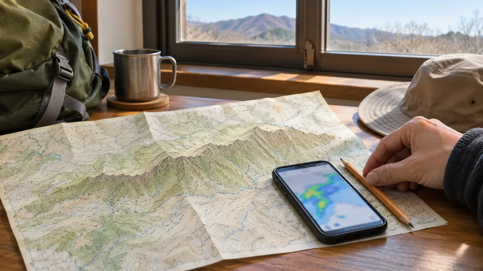
When planning to use lightning information on a hike, identify stretches without reception. The Lightning Nowcast updates every 10 minutes and forecasts up to an hour ahead. Saved images do not update. Use your carrier’s coverage information and consider cancelling or shortening the hike if you cannot connect at the planned check point. Keep a workable plan if the check fails.
Check the analysis time and forecast valid time
The Japan Meteorological Agency (JMA) explains that the Lightning Nowcast analyses intensity and potential on a 1 km grid and forecasts 10 to 60 minutes ahead. It updates every 10 minutes and runs continuously whether or not lightning occurs. The JMA also recommends checking the weather often while outdoors.
The network misses some discharges, and storm clouds can develop rapidly where no level is displayed. Japan’s National Police Agency notes that voice coverage is limited in many mountain areas and calls attention to battery levels. Plan around where you can and cannot open the information.
The time you last opened the screen may differ from the reference time. A 60-minute forecast based on 10:00 is valid for 11:00. Saving it at 10:30 does not extend it to 11:30. Read the analysis time and forecast valid time and compare them with the remainder of the hike. A crossing of less than an hour can still carry risk. Allow for storms developing quickly where the screen is blank.
Identify stretches where you may be unable to update
Divide your route at trailheads, junctions, summits and exits. Compare it with the trail and area coverage information for the carrier you use. Mark where it lists service as available, partial, unavailable or unknown. This summarises planning information. It cannot establish that the data will load on the day. Treat unknown areas as potentially without service.
For example, au’s trail guide covers devices that support 4G LTE at 800 MHz and labels its trail listing as updated January 26, 2021. It explains that “available” and “partially available” are approximate results from its surveys. Service can vary by season, and a spot can be marked available even when reception reaches only part of it. Field surveys can also differ from calculated coverage maps. Check the latest guidance for your carrier and device.
A location marked “available” may still fail to load the Lightning Nowcast. The au guide does not establish whether mobile data can load that particular screen. Consider voice service, mobile data and device or carrier differences separately. Use coverage information to identify where updates could fail. You can record actual reception for next time. Check or record only when stopped on stable footing without obstructing others, or wait until after the hike.
Choose where to stop before the gap and when to stay out
Plan to check before the section where you expect to lose reception. A map cannot establish footing or signal, so check whether the stopping place is safe on the day. Agree that if the planned check fails, you will avoid moving farther just to try to get a signal. Stay out of the section if you have too little information to judge whether you can avoid lightning danger.
The following decision points follow the JMA’s levels, with our suggestions for the route. If the forecast the day before or that morning mentions thunder or atmospheric instability, or a thunder advisory is in effect, review the planned route and prepare a shorter option that skips the offline stretch. If you see level 1 at the entrance, plan for possible lightning within an hour and act early if shelter takes time to reach. For stretches without updates, favour shortening the hike or staying out. Levels 2–4 mean lightning can strike at any time. Seek shelter immediately and stay out of the section. If the check fails when lightning is possible, agree in advance to stay out and turn back.
Estimate the crossing time with the map and your experience, allowing for breaks and delays in bad weather. Even the latest nowcast stops at one hour. On routes that include ridges, summits and open ground, allow time to reach a safe building or similar shelter. Being within the one-hour window is only one part of the decision.
Japan’s National Police Agency recommends identifying dangerous spots and escape routes during planning. You can decide to turn back or shorten the route before the signal is about to disappear. There may be an earlier junction where you can return safely. Verify descent routes and shelters and decide while you can still identify the way back.
Without updates, use the sky, thunder and your shelter options
Once you are in the gap, watch the sky and listen. The JMA advises monitoring the sky outdoors and seeking shelter promptly if you notice approaching lightning by thunder or flashes. Thunder and other signs of an approaching storm indicate that a strike may be imminent. A blank screen or an unavailable screen gives no evidence that lightning is absent.
In advice drawn from the Society of Atmospheric Electricity of Japan, the JMA lists reinforced concrete buildings, enclosed cars, buses and trains as relatively safe. The inside of a wooden building is generally protective too. The guidance does not identify shelters on your route. Check maps and official information for each section.
The JMA also explains emergency measures when there is no safe indoor space. A fixed distance from a tree or pole does not guarantee protection. A nearby strike can harm people through the ground. Keep those measures for emergencies and revisit a route early if suitable shelter is far away.
Check communications and backup power alongside the route table. The National Police Agency advises preparing communications equipment and checking voice coverage and battery levels. A device may show its position even when calls and mobile data are unavailable. Plan separately how to check your position against a map and how to share it outside the group.
Decide what to do before entering a section without updates
A plan for checking lightning information needs to cover where you can check and where you may be unable to. Divide the route into sections and treat unknown stretches as potentially offline. Choose a place with stable footing to check before entering, and decide what to do for level 1, levels 2–4 or a failed update. Compare crossing time with the one-hour forecast window. On the stretch itself, watch the sky and listen for thunder, with shelter options already checked. Coverage data has update dates and varies by season, carrier and device. Check the latest information.
References and sources
- Japan Meteorological Agency, What is the Lightning Nowcast?
- Japan Meteorological Agency, Using the Lightning Nowcast and its limitations
- Japan Meteorological Agency, Using weather information issued in stages
- Japan Meteorological Agency, Staying safe from lightning
- Japan Meteorological Agency, Protecting yourself from sudden heavy rain, lightning and tornadoes: Check weather information often
- au, Mountain trails with mobile phone coverage
- National Police Agency of Japan, Overview of mountain accidents in summer 2025 (September 16, 2025)