
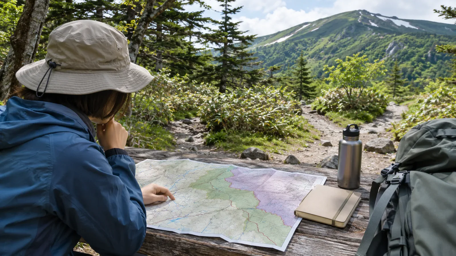
Use lines on a map to find a path and identify its type. For access, check local signs or the land manager’s guidance. Here is what you can learn from footpath symbols, park boundaries and national forest maps.
Use the map to find the path and identify its type
Japan’s national mapping authority uses the footpath symbol for paths under one metre wide, including those used for hiking or sightseeing, those connecting villages and those leading to important places.
The same symbol can show a route used for hiking or sightseeing or a path linking villages. When you see the footpath symbol, check the access conditions for the section separately. Read local notices or the latest guidance from the manager.
On March 7, 2018, Japan’s mapping authority released updated topographic maps of major trails in Kamikōchi and Yatsugatake. It used hikers’ track data from Yamareco and YAMAP. This was an update to the trail positions on the map. Note the map name and the date you checked it so you can compare editions.
Distinguish park boundaries from land ownership
The Ministry of the Environment explains that Japan designates national parks regardless of land ownership. They can include forests, farmland, villages and privately owned land. People live and work in agriculture and forestry within them. Check access for each path you plan to use.
The Ministry’s overview of the Natural Parks Act describes designations such as special and ordinary zones, and permits and notices for activities such as construction, logging and collecting specimens. Use the boundary map to find the park area and check the latest local guidance for trail access or facility use.
Read national forest guidance and check what the map displays
The Kanto and Shikoku Regional Forest Offices say recreational visitors can use facilities such as hiking trails and rest shelters without filing an entry notification. For forest roads, this applies only where ordinary vehicles can travel. Capturing wildlife, flying drones, holding events, reporting and conducting surveys require notification. Outside national forests, consult the authority responsible for the site.
For collecting alpine plants in national forests, the Kanto and Shikoku offices review a separate application and issue permits only where eligibility and a need for academic research are established. Check the responsible office’s guidance for the required documents and deadline for your activity.
Kanto’s guide says the national forest layer in the National Land Information Web Mapping System appears when the scale bar is between 10 km and 500 m. Shikoku’s viewer displays one forest district at a time, so its guide says to check the neighbouring district near prefectural boundaries. If the map layer is missing, check the scale and selected district. The Kanto office also advises asking the relevant authority when you need to confirm an exact boundary shown on a published map. Contact the responsible forest district office if you cannot tell from the map.
Check each section’s access before leaving
At home, split the route where a map symbol or marked area changes and fill in three fields for each section. Under “path,” note the symbol, map name and date. Under “area,” note any park or national forest boundaries, the source and the scale or district. Under “access,” record who confirmed the conditions and when, or mark them as unconfirmed.
For example, split the route into the approach to the trailhead, the trail from the start to the ridge and the descent to the finish. You may recognise the path symbol but still have questions about the area or its manager. Start by checking those sections.
For a section with unconfirmed access, plan an alternative that the manager’s guidance confirms you can use. When asking, give the section, map name and scale, and the date you checked it. If signs on site differ from earlier information, stop and use another route. Check maps and notes from a stable spot where others can pass.
In short — Ask the manager about access
Use maps to identify path types, park areas and approximate national forest boundaries. Check access for each section against the manager’s guidance. Record what you confirmed and what is still uncertain, and take questions to the responsible office.
References and sources
- Ministry of the Environment — The purpose and role of Japan’s national parks
- Ministry of the Environment — Overview of the Natural Parks Act
- Geospatial Information Authority of Japan — Footpath map symbol
- Geospatial Information Authority of Japan — Topographic map updates using hikers’ track data (2018)
- Forestry Agency, Kanto Regional Forest Office — Guide to entering national forests
- Forestry Agency, Shikoku Regional Forest Office — Guide to entering national forests
- Kanto Regional Forest Office — Procedure for collecting alpine plants
- Shikoku Regional Forest Office — Procedure for collecting alpine plants
- Forestry Agency, Kanto Regional Forest Office — National forest maps