
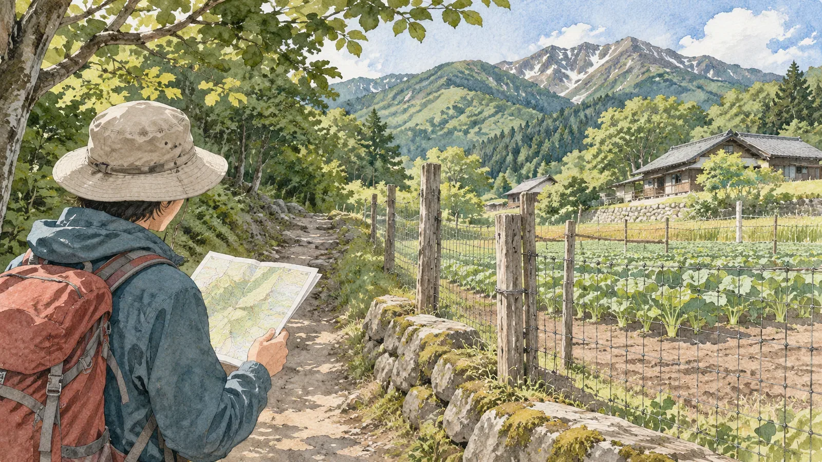
Being inside a national park does not mean every part of it is open to visitors. Japan’s national parks include private land, villages and farmland. Before setting out, find out who manages each section of your route and what access conditions apply.
National park boundaries can include private land
The Ministry of the Environment explains that Japan designates park areas regardless of who owns the land. Park boundaries may include private land, forests, farmland and villages where people live and work in agriculture or forestry.
The Ministry points to Ise-Shima National Park, where at least 90% of the area is privately owned. The share varies by park. Look for information on who manages the specific section you want to walk.
The landowner, the organisation maintaining the trail and the facility operator can be different. Decide whom to contact based on whether you want to check access or use a facility.
Check Natural Parks Act restrictions and access for each section
The Ministry’s overview of the Natural Parks Act explains designations such as special protection zones and special zones, and permits and notifications for activities such as construction, logging and extracting soil or stone. It also covers park projects for roads, visitor areas, lodging and campsites. Check walking access separately in the information for your route.
Some places require a procedure to enter. At Nishi-Odai, a regulated-use area in Yoshino-Kumano National Park, visitors need entry approval and a briefing. Check your destination’s official guidance for access conditions, opening periods, reservations and parking.
Check whether you can use a path before leaving the trail or taking a shortcut to the trailhead. The Ministry explains that parks are managed in coordination with residents and local industries. For paths alongside fields and across facility grounds, check local signs or the operator’s instructions.
National forest procedures vary by activity
The Kanto and Shikoku Regional Forest Offices say recreational visitors can hike on designated trails and use recreation forests, campsites and facilities such as rest shelters without filing an entry notification. Forest roads qualify only if they are open to ordinary vehicle traffic. Capturing wildlife, flying drones, holding events, reporting and conducting surveys require a notification. Collecting alpine plants has a separate application with research and applicant eligibility requirements.
Check the official guidance for the documents and deadlines for your activity and region. To find out if a place is in a national forest, use Kanto’s jurisdiction map or Shikoku’s national forest map viewer. The Shikoku viewer is organised by forest district, so check the neighbouring district near a prefectural boundary. If ownership remains unclear, contact the forest district office responsible for the area.
Where a national park and a national forest overlap, check both sets of guidance. Use the park boundary map and the Regional Forest Office’s maps to see where your route falls. Check entry procedures with the Regional Forest Office responsible for your destination.
Break down your route before leaving
Use a map and official guidance to work through these three steps before setting out.
First, split your route into sections, such as the approach from a station or car park to the trailhead, paths past villages and fields, forest roads and maintained trails. Note where you know who manages the route and look first at sections where information is missing.
Next, check who manages each section, what access conditions apply and whether your activity requires a notice or a permit. Contact the forest district office about possible national forest sections. For other sections, use the contact listed by the park or local authority. Keep a dated record of the response.
Finally, choose an alternative route around sections you could not verify. On the trail, stop somewhere with firm footing where others can pass before checking a map or notes. If there is no suitable place, wait until you reach one.
In short — Check access for each section you plan to walk
Check who manages each section, the access conditions and any required procedures. National parks can include private land, villages and farmland. National forest procedures vary by activity and region. Before leaving, ask about uncertain sections and plan an alternative route in case you cannot confirm access.
References and sources
- Ministry of the Environment — The purpose and role of Japan’s national parks
- Ministry of the Environment — Overview of the Natural Parks Act
- Forestry Agency, Kanto Regional Forest Office — Guide to entering national forests
- Forestry Agency, Shikoku Regional Forest Office — Guide to entering national forests
- Ministry of the Environment — Regulated-use areas in national parks
- Ministry of the Environment, Kinki Regional Environment Office — Nishi-Odai regulated-use area