
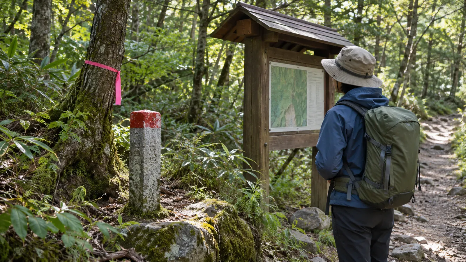
You may see signs for national forest or private land near a mountain trail. Distinguish signs about who owns the land from signs about who can use a path. Even inside a national park, ownership and management can change from one section to the next.
Distinguish park designation from land ownership
Japan’s Ministry of the Environment explains that national park boundaries are designated regardless of who owns the land. They can include nationally owned land, private land and other types of property.
National forest and private land signs help you identify the type of land. If the exact boundary or the area you can walk through is unclear, compare the map with the land manager’s guidance.
Leaving a marked trail, collecting plants, camping or bringing a vehicle can involve rules different from those for walking on the trail. Tell the land manager exactly where you intend to go and what you want to do.
Check signs against the map
Read the signs for the area covered, the access conditions, the name of the land manager and contact details. At a fence or gate, check who and what it restricts. Stay on your side if the instructions are unclear.
Japan’s national mapping authority uses the footpath symbol for paths under one metre wide, including those used for hiking or sightseeing and those connecting villages. The Kanto Regional Forest Office advises contacting the relevant office to confirm exact boundaries shown on published national forest maps. Forestry officers inspect boundary markers. Leave the markers in place and undamaged.
Record the wording, location, date and anything you couldn’t confirm. Access conditions in old photos or trip reports can change. Check the latest guidance before leaving and again on site.
Read the national forest entry guidance
The Kanto Regional Forest Office explains when recreational visitors using facilities such as hiking trails can enter without filing a notification. Forest roads qualify only when ordinary vehicles can use them. Read the full conditions in the guidance for the region you are visiting.
Regional forest offices can restrict access for safety or conservation. Check what applies to your route and activity, including closures due to work or natural hazards. Ask the responsible forest district office if you are unsure.
The Shikoku Regional Forest Office also publishes an entry guide. Read the guidance for the region you are visiting. In private forests, follow the conditions set by the owner or manager.
Respect local residents and forestry work
Mountain roads can serve forestry crews and local residents as well as hikers. Keep clear of vehicles and materials, and follow signs or instructions restricting access. Stay on the path and away from work areas when taking photos.
Use designated parking and rest areas. Take your rubbish with you and leave gates and fences in place. If you ask for directions, name the section you intend to walk and keep to the area you were directed to use.
If you share access information after your trip, include the date and time, source and section. Say which sections you could not confirm. Check the latest information before going back.
In short — Check ownership and access separately
Even inside a national park, land can have different owners. Read national forest and private land signs, consult the map and look for local notices about access on your route.
Check the land manager’s guidance for your route and planned activity. If anything remains unclear, contact the responsible office.
References and sources
- Ministry of the Environment — The purpose and role of Japan’s national parks
- Forestry Agency, Kanto Regional Forest Office — Guide to entering national forests
- Forestry Agency, Shikoku Regional Forest Office — Guide to entering national forests
- Geospatial Information Authority of Japan — Footpath map symbol
- Forestry Agency, Kanto Regional Forest Office — National forest maps
- Forestry Agency, Kinki-Chugoku Regional Forest Office — Maintaining boundary markers
- Forestry Agency, Kinki-Chugoku Regional Forest Office — National forest entry and access restrictions