
When asking about trail access, give the mountain name, the trailhead and the section you plan to walk. If you are already there, check your location against the map and signs and mention anything you are unsure about. If an accident or other emergency calls for rescue, contact emergency services without waiting to gather every detail.
Add the trailhead or facility name to the park name
The Ministry of the Environment explains that Japan designates national parks regardless of land ownership. They include private land and villages, and people work in agriculture and forestry within them. At least 90% of Ise-Shima National Park is privately owned. The share varies by park.
The Ministry’s overview of the Natural Parks Act explains park designation separately from the development of visitor facilities. Car parks and forest roads may have their own managers. Give the facility name or route section to find the right contact.
A park name helps you start looking for a contact. Adding the trailhead, route name and nearby facilities helps them narrow down the location. If you are unsure of the property boundary, share the location you have confirmed and say what remains unclear.
Use public maps to find the national forest and responsible district
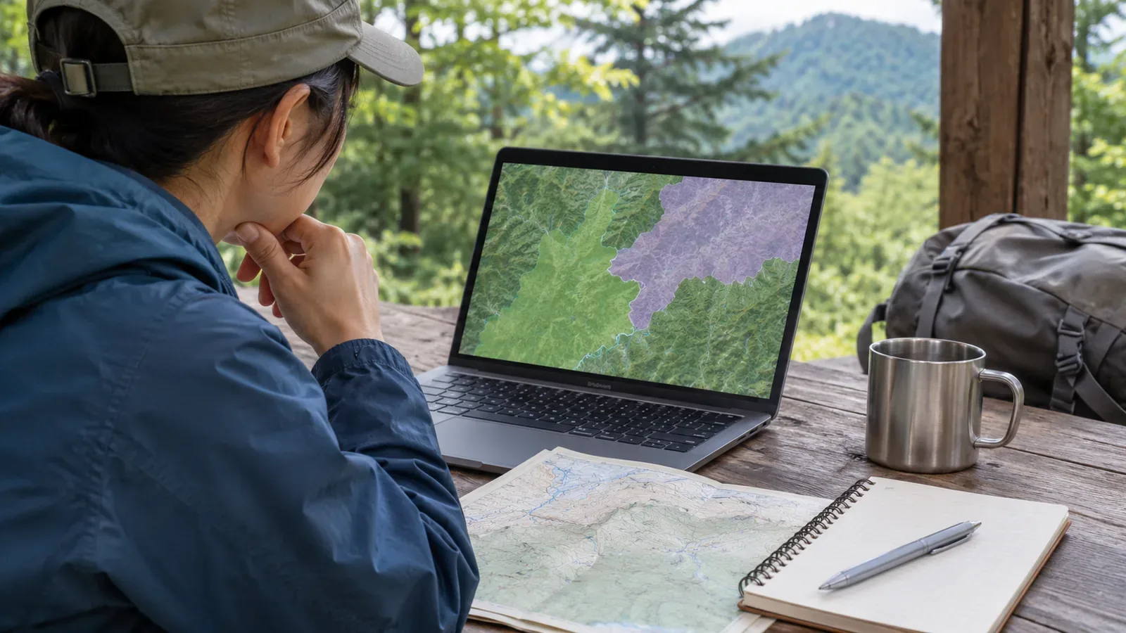
The Kanto Regional Forest Office explains how to check national forest areas using its jurisdiction map and the National Land Information Web Mapping System. It says the national forest layer appears when the scale bar is between 10 km and 500 m. If you cannot see the layer, check the scale. If you are still unsure, contact the responsible forest district office.
The Shikoku Regional Forest Office provides a national forest viewer and maps. The viewer displays one forest district at a time, so check the neighbouring district near a prefectural boundary. If you are crossing several forest districts in Shikoku and need to file an entry notification, submit it to the regional office’s Conservation Division.
The Kanto and Shikoku offices say hikers using facilities such as trails, campsites or rest shelters for recreation do not need an entry notification. Forest roads qualify only if ordinary vehicles can use them. Capturing wildlife, flying drones, official duties, events, reporting and surveys require activity-specific notifications. Check the separate procedure for collecting alpine plants.
For applications to collect alpine plants in national forests, Kanto lists a deadline of five working days before the planned date and Shikoku lists seven. Applicants must meet eligibility criteria and demonstrate a need for academic research. If approved, carry the permit. Submitting this application removes the need for a separate entry notification, but other laws may require additional permits. Check the latest procedure for your activity.
Compare the map with signs to confirm your location
Japan’s national mapping authority uses the footpath symbol for paths under one metre wide, including those used for hiking or sightseeing and those connecting villages. When asking about access, show the location on the map and ask about that section.
In March 2018, Japan’s mapping authority released updated topographic maps of major trails in Kamikōchi and Yatsugatake using hikers’ track data. That illustrates how rerouting can leave older maps out of date. Compare your latest map with signs on site.
Use trailhead notices, junction signs and landmarks such as a nearby hut to describe the location. If your app shows coordinates, note them and the map name. Check whether the location marker matches landmarks you can see.
Write down what you need to ask
Prepare your notes before you leave. If you need to record your location on site, stop on stable ground where others can pass. If there is no suitable place, wait until you reach one.
First, say whether you are hiking on foot or planning activities such as flying a drone, reporting, surveying or collecting specimens. Next, name the mountain area and trailhead. Give the start and end of the section using place names or junctions, and include the map location. Record the map name, scale and date checked.
Near a prefectural or forest district boundary, check maps for the neighbouring district too. List what you confirmed and what you could not. If a procedure applies, check the required documents and deadline for the activity and district.
Say which trailhead and junction you want to walk between and on what date. At a gate, write down the exact wording and contact details. If part of a sign is unreadable or you do not know the road name, say so. If the manager asks for more information, provide what you can check safely.
In short — Give your purpose and route section when asking
Park boundary maps show the area of the park, and forest office maps show the approximate extent of national forests. Compare the location on the map with signs or nearby facilities and ask the responsible office about access.
When you contact the office, give your purpose, the trailhead and section, the map and scale, and what you have and haven’t confirmed. For the final decision on access, follow the site manager’s guidance.
References and sources
- Ministry of the Environment — The purpose and role of Japan’s national parks
- Forestry Agency, Kanto Regional Forest Office — Guide to entering national forests
- Forestry Agency, Shikoku Regional Forest Office — Guide to entering national forests
- Ministry of the Environment — Overview of the Natural Parks Act
- Geospatial Information Authority of Japan — Footpath map symbol
- Geospatial Information Authority of Japan — Topographic map updates using hikers’ track data (2018)
- Kanto Regional Forest Office — Procedure for collecting alpine plants
- Shikoku Regional Forest Office — Procedure for collecting alpine plants