
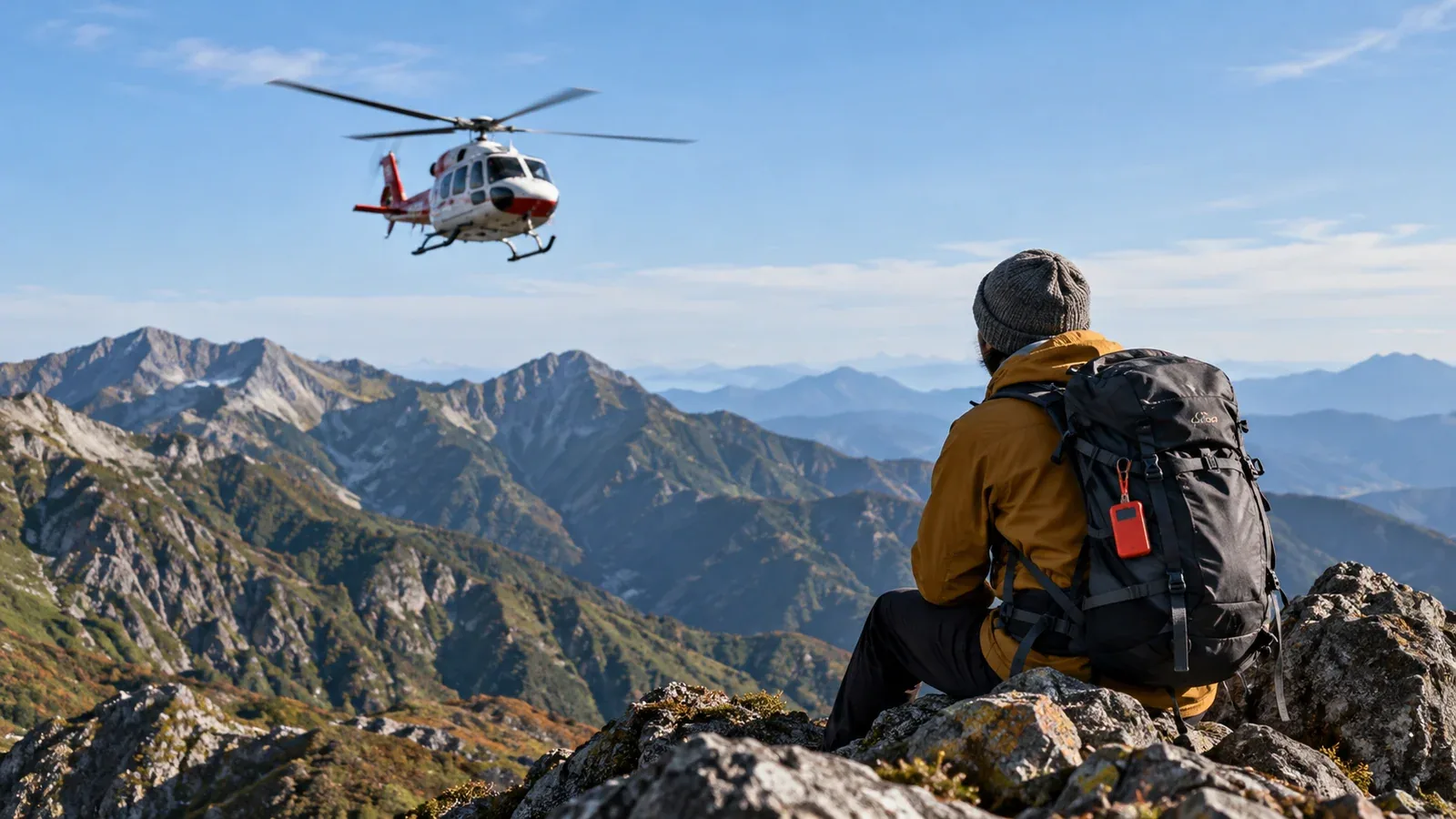
You may already have a helmet and insurance and still wonder what a search beacon adds. COCOHELI is a Japanese membership service that lends a beacon and can arrange a search. Check the operator’s site for current rates and terms.
If someone reports you missing, a search team with a compatible receiver can use the beacon to narrow down your position. How useful it is depends on your route, communication options and the coverage available there. Check who would raise the alarm and how the service would fit your plan.
How the beacon works
A charged beacon emits a radio signal. A compatible receiver used by a search team on the ground, a drone or a helicopter can detect it. Terrain and how you carry the beacon can affect reception.
The basic beacon sends a local radio signal to a compatible receiver. It does not send a distress call by satellite. COCOHELI’s GPS+ and SUMMIT plans offer separate location features. Check when and how those features share a position.
The radio beacon can keep transmitting where a phone has no mobile signal. A search still has to be initiated. If you can communicate and need rescue, call 110 or 119 first, then contact COCOHELI as its emergency instructions specify. Give your plan and beacon ID to someone who can report you overdue.
What membership costs
The annual membership includes a loan device. In November 2026, the operator listed Basic at ¥6,600 a year, GPS+ at ¥13,200 and SUMMIT at ¥18,700, each with a ¥3,300 enrolment fee. Check the current plan page for fees, shipping, eligibility and device terms before paying.
Compare what each preparation does.
- Mountain insurance. It can reimburse eligible search, rescue or medical expenses under the terms of a policy.
- COCOHELI. A compatible team can use its beacon to locate you, and the operator can arrange a search within its terms.
- Hiking plan. A filed route and a copy given to someone you trust tell searchers where and when you planned to go.
Check what the search service covers separately from insurance. COCOHELI lists up to ¥5.5 million in search arrangements under its terms. This is a limit on services it arranges. Its private search aircraft share location information and do not pick up hikers. Some plans include separate benefits. Check medical and rescue expenses against your own insurance.
What to consider before joining
Look at how you hike and how someone would find out you needed help.
How often you hike alone
When you are alone and unable to call, nobody with you can report your position. A trusted contact, expected finish time and clear check-in plan matter. A beacon can help once a search has been requested.
The kind of terrain you travel
Remote, complex routes can take longer to search than a well-marked path. Check the planned route, current conditions and available communication. Choose a route within your ability even if you carry a beacon.
Season and weather
Autumn and winter offer less daylight, and cold or storms can make it harder to wait and limit air operations. Check shelter, daylight and a safe route out. Change plans if conditions make the outing unsafe.
Other equipment and planning
File and share a hiking plan, carry navigation, insulation and first-aid equipment, and check insurance separately. Consider what communication tools you can use from the terrain.
What to confirm before signing up
Search coverage and operating conditions. Check the operator’s coverage for the exact route. Its FAQ says it does not use search helicopters in Okinawa or other islands. Weather and terrain affect whether a team can operate.
Battery and where to carry the device. Charge and check it before departure. Follow the operator’s instructions for attaching it where the signal can be received, and keep the ID available.
File and share your plan separately. Check the official filing method for the area. Give your contact the planned route, expected return time and instructions for reporting you overdue.
Other steps you can take
Plan how to communicate, navigate and wait safely even if you do not use a beacon.
- File your hiking plan and give a copy to a trusted person.
- Check whether you have suitable mountain rescue cover.
- Confirm your position at junctions and set turnaround points.
- Agree on check-ins where you have signal and tell someone if your route changes.
A paper map, spare battery and compatible satellite SOS or messenger may help with navigation or communication, depending on the equipment and service. Check how each option works before you go.
Before your next hike
Start with the route, your check-in plan and your insurance. If you are considering COCOHELI, check the operator’s current fees, coverage, device instructions and how to initiate a search. A qualified guide or other hikers familiar with the area can help you plan an unfamiliar route.
References
- National Police Agency mountain incident statistics
- COCOHELI operator guidance on its radio beacon and service
- Official regional guidance on mountain safety and emergency response
References and sources
- National Police Agency — Japan’s 2025 mountain incident figures
- COCOHELI — Plans, pricing and terms
- COCOHELI — How the search service works
- COCOHELI — Coverage and how private search teams operate
- COCOHELI — Device instructions
- Government of Japan — Mountain rescue and emergency numbers
- Nagano Prefecture — Filing a hiking plan