
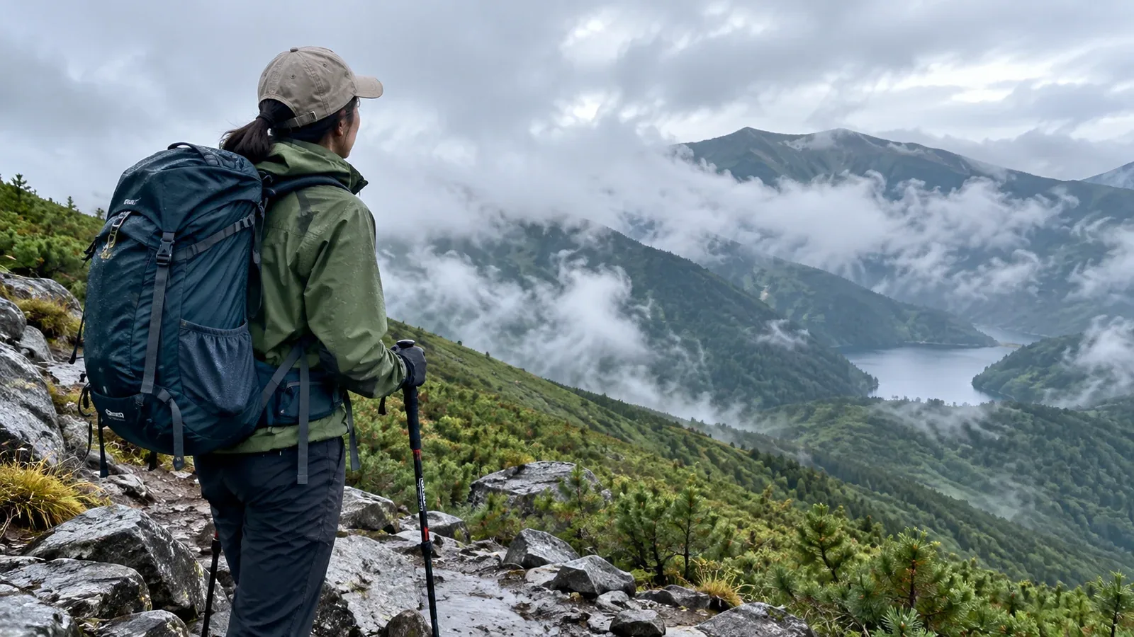
A little rain at the trailhead can be manageable on one route and a reason to postpone another. Check what the weather may do through your return, what rain has already fallen and where the route becomes difficult when wet.
Wet rocks and roots can be slippery. Rain and wind can chill the group, low cloud can hide junctions, and streams can rise even where little rain is falling. Think about which of these hazards could occur together on your route.
Why light rain at the start tells you so little
Rain can vary with elevation, slope and wind direction. A town forecast and the sky at the trailhead give only part of the picture. Check the mountain forecast at the elevation and time of your exposed sections.
Rain can make rock, roots and wooden steps slippery from the start. Previous rain can leave mud, saturated slopes or swollen streams. Look at the descent and the return crossings as well as the ascent.
Three sources to check before leaving
Check these sources the evening before and again in the morning. Recheck warnings and short-term radar information before an exposed stretch if you can receive updates.
1. Japan Meteorological Agency forecasts and warnings
The JMA’s regional probability of precipitation refers to at least 1 mm in the period shown, usually six hours. The percentage gives the chance of reaching that amount. Check the forecast wording and short-term radar for timing and intensity, and read any relevant warnings and advisories.
2. A mountain forecast for your route
Check temperature, wind, visibility and precipitation at the elevations and hours you expect to be on the route. Cold rain and wind can cool you quickly, especially above the treeline or when the group stops. Check how soon conditions might worsen and what the forecast says about the return.
3. Recent reports from the trail
Look for closure and access notices from the municipality, park or trail manager, and local observations from huts if available. Check rain in the stream’s catchment as well as at the trailhead. Kikikuru helps identify risks in the surrounding area, and access and crossing conditions still need local confirmation.
Agree in advance when to turn back
Mark safe decision points on the map, such as a junction before a ridge or a sheltered place before a crossing. Agree on the conditions that mean you will take the shorter route, turn back or seek shelter.
Examples of reasons to change the plan
- If rain is strengthening or the descent is becoming slippery, turn back from a safe point before the next difficult stretch.
- If you hear thunder or see lightning, leave exposed ground as soon as you can move safely and seek a substantial building or an enclosed hard-topped vehicle if accessible.
- If you lose the next reliable landmark, stop on stable ground and check your position. Return by a known safe route if possible, and seek help if you cannot move safely.
- If someone is getting cold or shivering, stop in a sheltered place, add dry insulation and wind protection and reassess. Seek help if you cannot keep them warm or get them back safely.
Discuss these decisions before departure. It is easier to change plans at a sheltered junction than after the group has entered a stretch with few options.
When a wet-weather hike may be feasible
Compare the route with the forecast and the group's experience. These examples can help you identify where to change the plan.
- A short, sheltered route and rain expected to ease. Consider it if current access is confirmed, footing is suitable, and you can finish or turn back if the improvement comes late.
- Persistent rain with strong wind or cold. Pick a less exposed plan or postpone, especially if the group is inexperienced or lacks suitable layers.
- Warnings or advisories that affect your route. Read what the JMA expects and where. Avoid routes exposed to thunderstorms, flooding or landslides and postpone when those hazards affect the outing.
- A stream route after recent rain. Check the upstream rain and crossing reports. Avoid a swollen or fast crossing and use a confirmed bridge route or turn back.
- Rock ridges or fixed-chain sections. Wet footholds can make exposed passages much harder. Choose an alternative, particularly for a group with limited experience.
Carry a waterproof jacket and trousers, insulation and a means of keeping spare layers dry. Bring an emergency shelter appropriate to the route, an offline map and a paper map and compass. Check the condition of your rain gear before leaving.
Put on rain protection before your layers are soaked
Keep rain gear accessible and put it on where you can stop safely before inner layers get wet. Adjust ventilation and pace where practical, and change or add dry layers if you become chilled.
Choose a waterproof shell and trousers that let you move and use both hands. On an exposed ridge or a section where you need your hands, use gear that works in wind and leaves your hands free.
A hat, suitable gloves and gaiters can help keep water out of cuffs or boots. Check footwear condition and carry dry socks where useful. For the descent, allow extra time and turn back before footing or visibility becomes difficult to manage.
Put it into practice
For your next outing, check the forecast through your expected return and mark the first safe place to change plans. Agree with the group what you will do if the rain strengthens, a crossing is high or someone gets cold. You can ask about recent conditions in Nordwand’s Base Camp or consult a qualified guide.
Sources
- Japan Meteorological Agency: rain terms, forecasts, radar, warnings and Kikikuru
- Japan Meteorological Agency and UK Met Office: lightning safety and mountain forecasts
- US National Park Service and CDC: swift water and cold exposure
- Yamanashi Prefecture and Japan National Police Agency: trail information and mountain incident statistics
References and sources
- Japan Meteorological Agency: precipitation terms
- Japan Meteorological Agency: regional forecasts and probability of precipitation
- Japan Meteorological Agency: weather forecasts
- Japan Meteorological Agency: rain and thunder nowcasts
- Japan Meteorological Agency: weather warnings and advisories
- Japan Meteorological Agency: Kikikuru risk maps
- Japan Meteorological Agency: lightning safety
- UK Met Office: guide to mountain forecasts
- US National Park Service: swift water safety
- US Centers for Disease Control and Prevention: preventing hypothermia
- Yamanashi Prefecture: mountain hiking information
- Japan National Police Agency: mountain incident statistics