
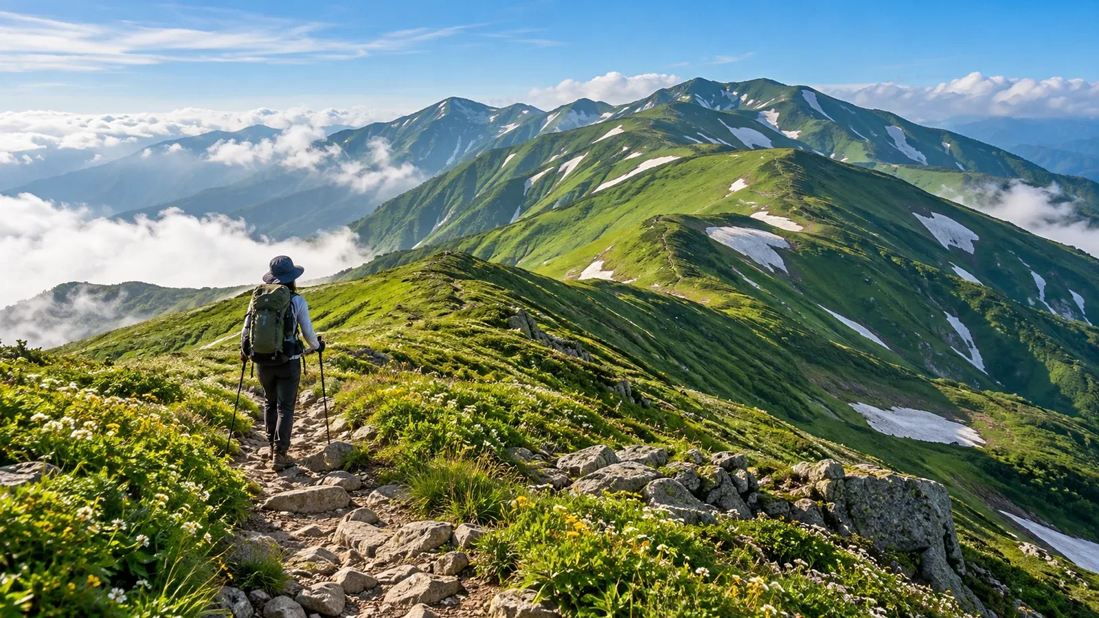
The Iide Range spans the prefectures of Yamagata, Fukushima and Niigata. Its peaks include Dainichidake (2,128 m), the highest, as well as Iide Honsan (2,105 m), Kitamatadake and Eboshidake. Flower-filled meadows and deep gullies alternate with steep rock at places such as Kengamine and slopes that hold snow into summer.
Many routes climb a long way from the trailhead to the ridge. If your traverse starts and finishes at different trailheads, sort out the car or bus logistics first. This is a range for hikers who have already done several overnight traverses and want to plan a longer trip.
An overview of Iide traverses and main routes
You can follow a long stretch of the main ridge or hike it in shorter sections. The number of nights depends on your start and finish, each day’s distance and elevation change, the weather and which huts are available. Divide the route on a map first, then check local walking times and hut information to choose stops you can reach comfortably.
Here are three ways to get onto or off the main ridge.
- Osawa trailhead (Kawairi, Kitakata City, Fukushima) → Kengamine, Mikunidake and Kiriawase Hut → Iide Honsan → north from the Onishi area → Marumori Ridge to Tengudaira (Oguni, Yamagata): A south-to-north traverse. If you also want to climb Dainichidake, allow time for a side trip from near Onishi Hut. Kengamine has rocky sections fitted with chains.
- Tengudaira and Iide Sansō area (Oguni, Yamagata) → Ishikorobi-zawa → Kairagi Hut and the Kitamatadake area: An advanced route with steep snowfields, collapsing snow, rockfall and stream crossings. Consider it only if conditions and your snowfield skills allow a safe passage. Choose a different ridge if you lack that experience.
- Tengudaira and Iide Sansō area (Oguni, Yamagata) → Kajikawa Ridge → Ōgi-no-jigami and the Monnaidake area: This route reaches the main ridge from the north. It involves sustained steep climbing. Factor in both the initial climb and the time you will spend walking after reaching the ridge.
If you start and finish at different trailheads, arrange a car shuttle, two vehicles, a reserved taxi or a bus you have confirmed is running. Check the operating days and last departure, forest-road restrictions and parking with the municipalities and transport providers.
Iide terrain and weather
Summer flowers and grass cover the ridges. There is little shelter from wind and rain, and a thunderstorm can leave few ways to get out of exposed terrain. Check Japan Meteorological Agency forecasts and warnings the previous evening and again that morning. Avoid exposed sections when thunderstorms are forecast. If you hear thunder or see lightning, leave the ridge or summit and promptly seek a safe place such as a sturdy building.
Snow may still lie just below the ridge in June or July. On steep snowfields such as Ishikorobi-zawa, you need to know how to prevent a fall and use crampons and an ice axe appropriate to the slope and snow surface. Stream levels and the stability of snow bridges change, so check updates from hut and trail managers just before departure.
Autumn color starts on the ridges, but mornings and nights can be cold enough for snow or ice. Some huts stay accessible once their keepers leave, while other facilities restrict access. Check current information about overnight stays, entrances and water with each manager.
Mountain huts and campsites
Kiriawase Hut, Honsan Hut and Kairagi Hut are among the places you can plan around. Staffing periods, reservations, fees, meals and bedding vary. Check each hut and bring the sleeping bag, mat and food you will need.
Pitch your tent in the designated area identified by the hut or municipality. Water sources can dry up or become inaccessible depending on the season and weather. Ask the managers about current conditions and carry more than the minimum needed to reach the next reliable water source.
Keep each day’s stage manageable. The long first climb from the trailhead can wear you out for the following days if you push too hard. Choose a hut or designated campsite you can reach comfortably as your first stop.
Check your readiness before making a plan
Use the following questions to assess your experience and equipment before heading into the Iide Range.
Experience
- Have you completed hikes with a similar duration and elevation gain to your longest planned day, with energy to spare?
- Have you spent at least one night in the mountains carrying a pack of similar weight?
- Have you navigated with a map and compass where fog or a faint trail made it easy to lose the route?
Equipment
- If you plan to camp, have you used your tent, sleeping bag, mat and cooking gear in the mountains?
- Do you have a separate waterproof jacket and trousers, both still in good condition?
- Can your gear keep you warm both on the move and overnight at the lowest temperatures and in the strongest winds you expect?
If there is a gap in your experience, first try a shorter hike with a similar pack or elevation gain. Use it to check your skills and how much energy you have left. You can also ask a certified guide about the route or the skills it requires.
Escape routes Few trails lead from the ridge down into the valleys. To prepare for bad weather or illness, check which descents are open and what transport is available at the bottom, using maps and official information. Record your turnaround conditions and alternatives in the hiking plan, then file it through the police department responsible for the area.
Making time for what makes Iide special
The Iide Range is renowned for its remoteness in Tōhoku. Once on the ridge, you feel far from any settlement. Alpine flowers, ponds and ridges stretching into the distance give the range its character.
Give yourself short stages if you want time to take in the flowers and ponds, and reach your hut or campsite before dark. If you include a reserve day, plan a safe place to wait and the food and water you’ll need.
You may be able to visit a hot spring near your finish, such as in the Oguni area. Check opening hours directly with the facility.
Where to start
Use a map such as Yama to Kōgen Chizu’s Iide-san sheet to look over the entire ridge and sketch two or three combinations of start, finish and transport. Ask each facility about overnight stays and conditions of use. You can look for hikers who know the range in the Nordwand community. Before leaving, file your hiking plan and share it with family or friends.
References
- Geospatial Information Authority of Japan and Japan Forestry Agency (elevations and Iide terrain)
- Japan Meteorological Agency (forecasts, warnings and lightning safety)
- Kitakata City, Nishiaizu Town, Oguni Town and the Iide–Asahi Conservation Association (trailheads, huts, trails and water sources)
- Yamagata, Fukushima and Niigata prefectural police (filing a hiking plan)
References and sources
- Geospatial Information Authority of Japan | Elevations of major Japanese mountains
- Japan Forestry Agency | Overview of the Iide Range
- Kitakata City | Road conditions around the Osawa trailhead
- Nishiaizu Town | Hiking Mount Iide and mountain huts
- Oguni Town | Road restrictions
- Yamagata Yama | Hiking routes on Mount Iide
- Iide–Asahi Conservation Association | Hiker information for the Iide and Asahi ranges
- Iide–Asahi Conservation Association | Water sources in the Iide Range
- Kiriawase Hut | Information from the hut manager
- Niigata Prefectural Police | Hiking precautions in the Iide Range
- Japan Meteorological Agency | Forecasts and warnings
- Japan Meteorological Agency | Lightning safety
- Yamagata Prefectural Police | Filing a hiking plan
- Fukushima Prefectural Police | Filing a hiking plan
- Niigata Prefectural Police | Filing a hiking plan