
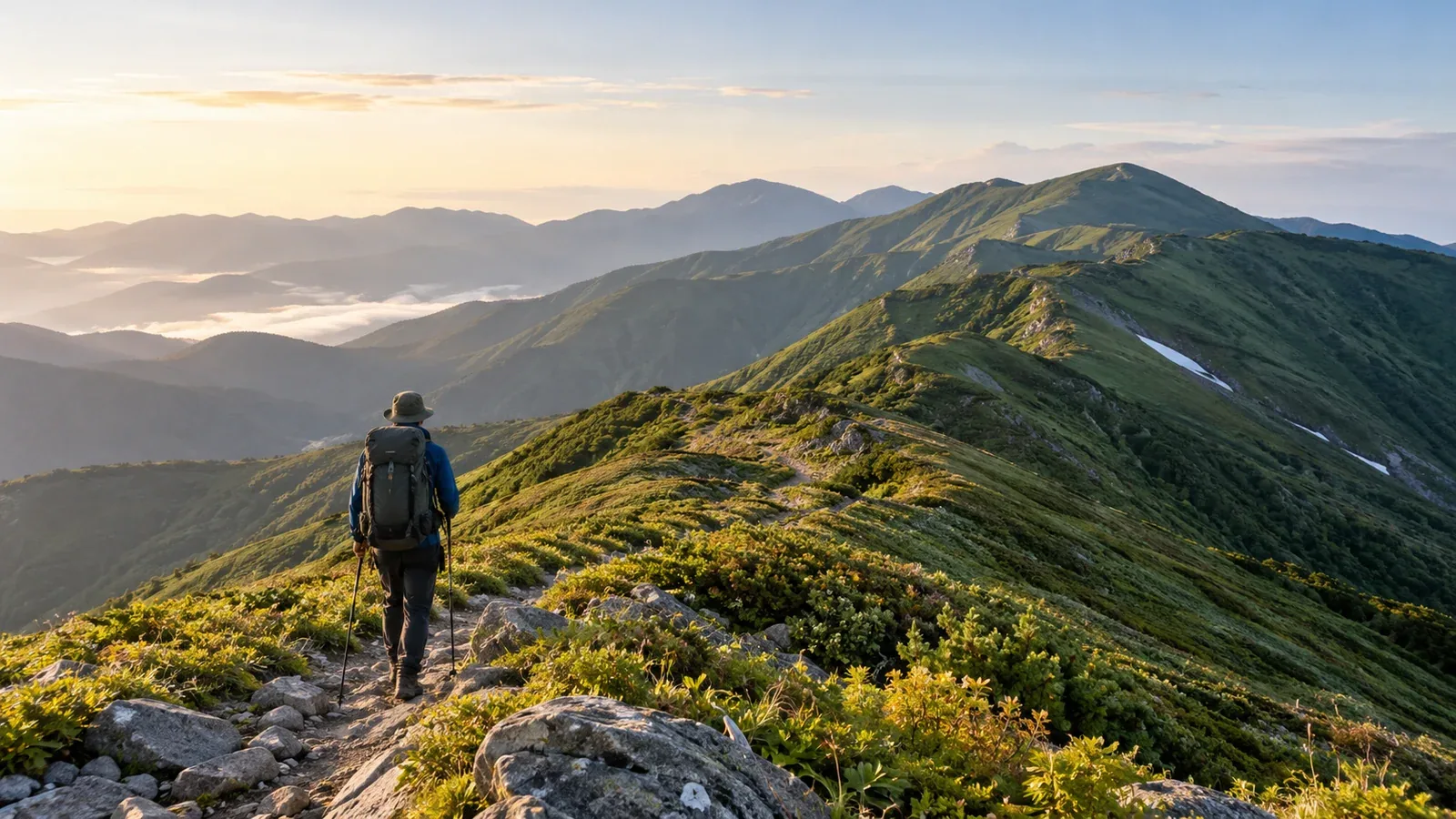
If you are looking up the Asahi Range, you probably want to know which route to choose, how many nights to allow and what makes these mountains so quiet. This guide covers the direction of travel, overnight stops, water and huts, and the risks that change with the seasons.
The Asahi Range follows the border between Yamagata and Niigata prefectures. Its ridge runs from the main summit, Ōasahidake (1,870 m), over Nishiasahidake, Ryūmonzan and Kankōzan to Itōdake (1,772 m). The landscape feels far from settlements, and there are few ways off the ridge. Plan for weather, water and overnight stops together.
Traverse options and direction of travel
One way to follow the main ridge is to climb Ōasahidake from Kodera and continue via Itōdake and Lake Ōtori to Awataki Dam. You can also walk in reverse. The ground between Lake Ōtori and Itōdake is steep, and the direct trail differs from the route via Otsubo Peak. Compare daily elevation change, the condition of bridges and trails, and return transport before choosing a direction.
Another option is a loop starting and ending at Higuresawa. Walk via Ryūmonzan, Nishiasahidake and Ōasahidake, then take the junction on the Koasahidake side and return over Hananuki Peak. Choose according to how much of the ridge you want to cover and whether you can arrange transport at both ends.
Public transport to trailheads is limited. Check Tsuruoka City and the operator for the operating days and reservation requirements of the seasonal shared taxi to Awataki Dam. If you drive to Kodera or Higuresawa, check forest-road restrictions with the municipalities or local information providers.
Planning the stages and overnight stops
Let the route determine the number of nights
From Kodera to Awataki Dam, the long ridge repeatedly loses and regains elevation. Calculate each day’s total ascent and descent and the time to your overnight stop, then choose the number of nights that lets you walk at a comfortable pace. If you allow a reserve day, identify a place to wait and the water and food you will need.
If you only have three days and two nights and cannot build in margin on the daily distance and elevation change, choose a shorter traverse or loop around the Ōasahidake–Ryūmonzan section.
Build the itinerary around ridge huts
Ōasahi Hut, Ryūmon Hut, Kitsuneana Hut and Itōdake Shelter can serve as overnight stops. Staffing dates, conditions of use and capacity vary. Check each manager’s or local mountaineering club’s information in advance. Tsuruoka City limits winter use of the Itōdake and Lake Ōtori shelters to emergencies.
Within the Asahi Mountains Forest Ecosystem Reserve, camping is permitted at the designated site by Lake Ōtori. Plan around huts you can use and identify another overnight stop or descent if a hut is full or closed. Pitching a tent beside a ridge hut cannot serve as a planned fallback.
Planning your water supply
In the Asahi Range, the location of water sources shapes the itinerary. Some huts have no source nearby. Others require a round trip down from the ridge. Snowfields can melt away and pipes can fail, so mark water sources and allow time to reach them.
Check the latest information from huts, mountaineering clubs and the prefecture for each source. Estimate what you need and carry enough to reach the next reliable supply if your planned stop is dry or inaccessible.
Seasonal risks and when to go
Summer (July and August)
The sun is strong on clear days, and wind and rain can chill you quickly. Check Japan Meteorological Agency forecasts, warnings and the lightning nowcast. Plan to stay off exposed ridges when thunderstorms are forecast. If you hear thunder or see lightning, leave the summit or ridge and promptly find a safe place such as a sturdy building.
Autumn (September to early October)
In autumn, shrubs and grasses on the ridge change color. The days are shorter, and frost or snow can make paths icy in the morning and evening. Pack insulation and rain gear suited to the forecast temperatures and wind. Hut staffing and snowfall vary each year, so check the latest information from municipalities and local managers before setting a date.
Lingering snow and winter conditions
Snow can cover sections of trail in spring and early summer, where crampons and an ice axe appropriate to the slope and snow may be needed. If you cannot navigate under snow and avoid a fall on steep slopes, wait until it melts. A winter traverse requires winter mountaineering skills and experience.
Precautions for the Asahi Range
Asian black bears live here. Check the latest sightings from Yamagata and Niigata prefectures or the municipalities. Make your presence known by talking or using a bear bell. If you carry bear spray, keep it accessible and learn to use it before leaving.
Some sections have no mobile signal. Arrange a way to call for help before leaving. Consider a satellite communicator if needed. File your hiking plan in advance using a method accepted by the prefectural police responsible for your trailhead.
There are few ways down into the valleys, and some descents are steep. Mark descent trails, their current status and transport options on the map. Decide in advance under what weather or health conditions you will turn back.
Where to start
Check a topographic map and magnetic declination, and list each day’s trailhead, overnight stop and water sources. Check official sources for hut rules, bridge and trail restrictions, and transport at both ends. File your hiking plan and tell someone at home your expected finish date and where you will be out of contact. On Nordwand you can find community members with recent experience in the Asahi Range.
References
- Geospatial Information Authority of Japan and Tōhoku Regional Forest Office (elevations, reserve and access rules)
- Ōe, Nishikawa, Tsuruoka and local mountaineering clubs (trails, huts, water and transport)
- Yamagata and Niigata prefectures and their police departments (bear information and hiking plans)
- Japan Meteorological Agency (forecasts, warnings and lightning safety)
References and sources
- Geospatial Information Authority of Japan | Elevations of major Japanese mountains (31 March 2026)
- Tōhoku Regional Forest Office | Asahi Mountains Forest Ecosystem Reserve
- Tōhoku Regional Forest Office | Asahi guide and camping rules
- Ōe Tourism and Products Association | Asahi Range and Kodera trailhead
- Nishikawa tourism website | Asahi Range and Higuresawa trailhead
- Yamagata Yama | Hiking routes on Ōasahidake
- Yamagata Yama | Koasahidake and the trail from Higuresawa via Hananuki Peak
- Tsuruoka City | Trails and transport for Awataki Dam, Lake Ōtori and Itōdake
- Tsuruoka City | Itōdake shelter
- Tsuruoka City | Lake Ōtori shelter and campsite
- Ōe Mountaineering Club | Ōasahidake, shelters and water sources
- Yamagata Prefecture | Asian black bear sightings map
- Niigata Prefecture | Asian black bear sightings and precautions
- Yamagata Prefectural Police | Filing a hiking plan
- Niigata Prefectural Police | Filing a hiking plan
- Japan Meteorological Agency | Forecasts, warnings and lightning nowcast
- Japan Meteorological Agency | Lightning safety