
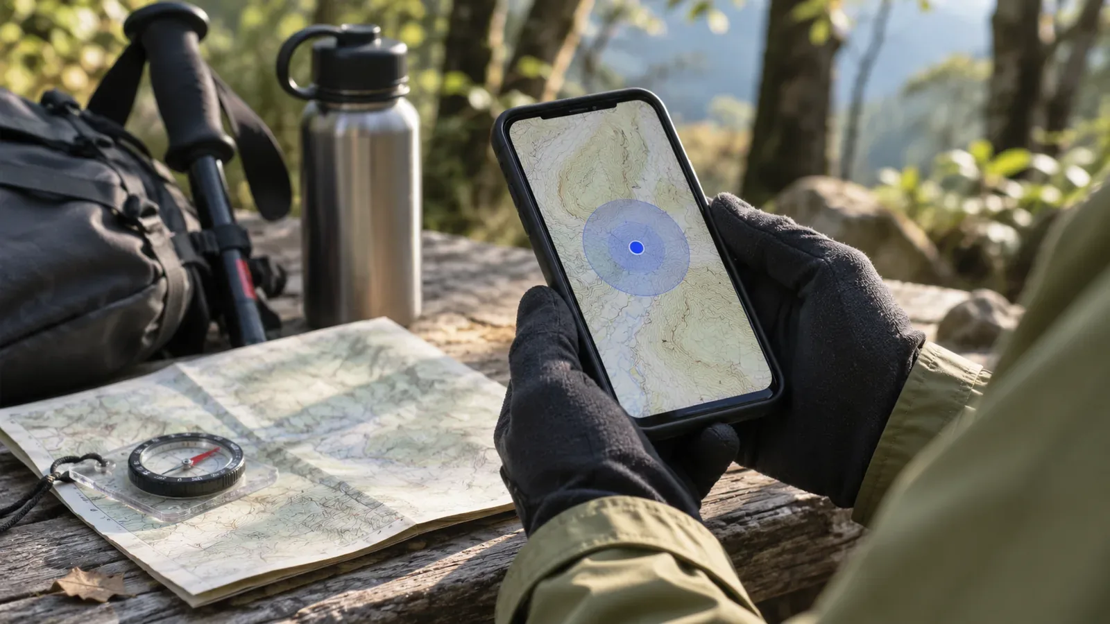
When the location circle gets bigger, treat the estimate with more caution. Stop where you have secure footing and compare the display with clues around you. In the official documents checked on October 28, 2026, Android's location API defines horizontal accuracy as an estimated radius that has a 68% chance of containing the true position. We could not establish that a hiking app necessarily draws its circle with that radius. You could be outside the circle.
The circle shows an estimate with uncertainty
Android's Location.getAccuracy() returns the estimated horizontal accuracy as a radius in metres. Android describes a confidence level at the 68th percentile. Draw a circle of that radius around the reported position and the true position has an estimated 68% chance of falling inside. The corresponding chance of falling outside is 32%.
The value applies to horizontal position only. It does not describe altitude or height error, and it is valid only when hasAccuracy() is true. That is the meaning of the API field. It estimates the error without measuring it after the fact.
Consider the circle on your screen separately. An app could use the API value as its displayed radius, but the sources consulted here do not establish that. Dedicated GPS devices and other apps can define their circles differently. Apply the 68% figure to a displayed circle only if the app's documentation confirms how it is drawn. Otherwise, use circle size as one clue to how much confidence to place in the position, without setting a strict numeric cutoff.
What can make position estimates less accurate
The US government's GPS guide describes user accuracy as how close the device's calculated position is to the true position, expressed as a radius. It depends on satellite geometry, atmospheric conditions and receiver quality. Buildings, bridges and trees can block signals, as can being indoors or underground. Reflections off structures can cause multipath, and radio interference or jamming can also reduce accuracy. A canopy overhead, cliff or structure nearby is a possible clue when the circle gets larger. Circle size alone cannot identify the cause.
The same guide gives about 4.9 m as a typical accuracy radius for GPS-enabled smartphones under an open sky and says it worsens near obstacles such as buildings. These figures concern the US GPS system and do not measure errors in valleys and forests in Japan. The GPS.gov performance table for 2022 also lists standards for 95th-percentile horizontal position error: at most 8 m globally on average and 15 m at the worst site. These are distinct from signal ranging error. The archive says it has not been updated since February 2025. The examples measure different things under different conditions and confidence levels from the circle on a device in the mountains in 2026. An 8 m circle is no threshold for a fault.
What to check when the circle gets bigger
This is our editorial team's suggested procedure, based on the factors in the sources. We have no comparative study of its effect. Keep your eyes off the screen and avoid using the device while walking.
First, stop where the footing is secure and where you will not block others before looking at the screen. If there is nowhere suitable to stop, put the screen aside and use visible signs and terrain to decide if you can proceed. Second, look around where you stopped. If any of the factors above might apply, such as trees overhead, a nearby cliff or a structure, treat that as a possible explanation.
Third, consult landmarks you have already verified. Compare the last reliable sign or junction, the time and direction you travelled from there, and the terrain on a paper map with the reported position. If the circle on the map covers the gap between possible branches, the dot alone is a weak basis for choosing a trail. When the uncertainty spans nearby possibilities, the dot cannot reliably distinguish them. That is a rule of thumb for the displayed size, since the app's radius may differ from the API value.
Fourth, if the clues still do not agree, return to the last location you could confirm or reassess the plan where you are. The sources cannot tell you whether waiting for the circle to shrink will solve the problem. Decide whether to wait or turn back before a tricky section such as a rocky passage, stream crossing or junction. Check before going through the hazard.
What to decide before leaving
Do this while stationary in a safe place, such as at home. First, check the help for the app or device to see what the circle represents and write it down in one line. If you cannot find the definition, write “meaning unconfirmed” so you do not read too much into the number on the day of the hike.
Next, stand still and compare the circle at a few locations, such as beside a window, in a clear outdoor area and near a building. Record whether it changes on your device. The numbers describe only that device on that day and cannot stand in for readings in the mountains.
Finally, mark on your route map where a large circle would make a decision difficult, such as junctions, cliff edges and stream crossings. Write one sentence at each point stating when to turn back. For example, turn back unless you can confirm the way with signs and terrain. Share these conditions with your group. Decide these conditions on the map beforehand, before the circle gets bigger on the trail.
Use circle size before you reach a point where turning back is difficult
Android's API gives a horizontal radius estimated to enclose the true position with 68% probability. The value does not apply to altitude. Check each app's documentation before assigning that meaning to its circle. Government guidance describes causes such as buildings, bridges and trees blocking signals and structures reflecting them. The sources used here do not quantify errors in wooded mountain terrain or valleys.
When the circle grows, stop somewhere safe, check your surroundings and compare the display with clues you have verified. Write down your criteria before leaving so you can skip the section or turn back before a hazard if the clues cannot be reconciled. The display gives you one clue for the decision. The safety of the route still needs checking.