
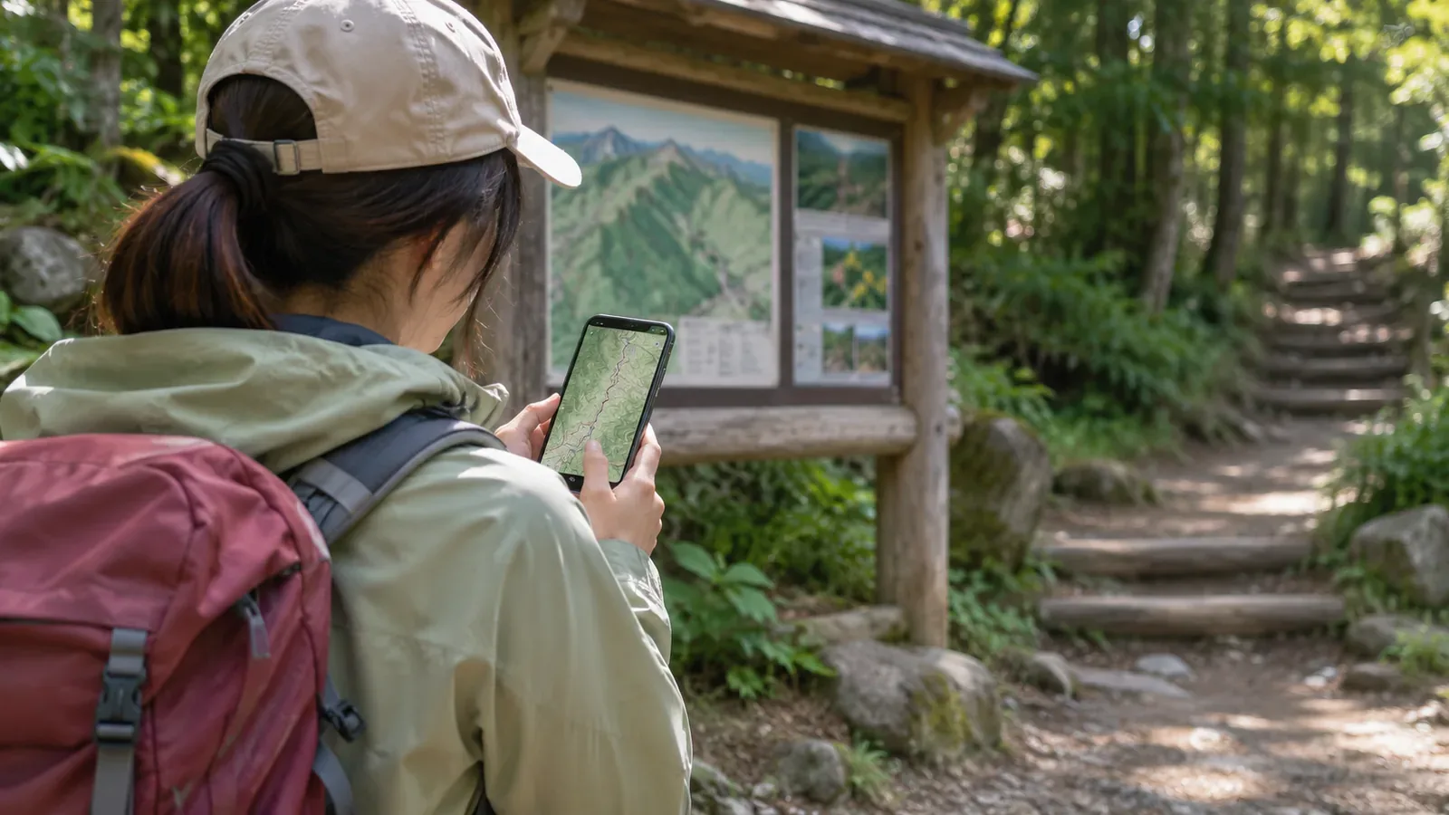
When choosing your first hike, summit height and views can easily grab your attention. It also helps to know whether you can find where the trail starts and work out which way to go before setting out. Look for places with clear trailhead directions and compare the difficulty and transport for the whole route. Assess the safety of the trail separately from the quality of the directions.
What to check in trailhead directions
Start by finding the name of the trailhead for the route you plan to walk. A mountain may have several entrances, with different transport options, hiking times, and trail conditions. Use a map from the municipality, trail manager, or local visitor center to locate the entrance and see which way the trail goes. The TAKAO 599 MUSEUM guide to Mount Takao, for example, describes how to find the starts of Trail 1, Trail 6, and the Inariyama Trail in relation to Kiyotaki cable car station and the plaza. The trailheads are a short walk from the railway station, Takaosanguchi. See whether you can follow the directions from where you arrive to where you start walking. Use the visitor center’s current notices for restrictions and closures.
Look for enough detail to trace the path from the bus stop or parking area to the trailhead. Check the trailhead name, first junction, and direction to your destination. Mark useful place names and landmarks on your own map to make the route easier to explain. If a guide shows a sign at the entrance, check it in person. Photos can show an earlier layout.
You may find little information online even when there is a sign on the ground. For your first hike, consider choosing a route you can verify and coming back to the other one after you gain experience. Write “unknown” next to anything you could not check so it stands out in your plan. If you find a photo of the entrance without a location, match it to the map and transport directions before deciding where it is. Record when the photo was taken if you can, so you can tell how current it is.
Compare the entire route with your group's abilities and plans
An easy-to-find trailhead can lead to a steep climb or a confusing junction. Check estimated hiking time, distance, ascent and descent, trail features, and how you will reach the end. Include breaks and transport when deciding whether the day suits everyone in your group.
Yamanashi Prefecture's mountain grading rates the physical and technical difficulty of specific routes to help hikers choose within their abilities. It applies to the listed routes in Yamanashi and does not rate the signs at the trailhead. Check that the route being rated is the one you plan to walk, and use the grade alongside trail information.
Once you have two options, compare them using the same criteria. Consider transport to the trailhead, whether you can locate the entrance on a map, the time for an out-and-back or point-to-point hike, the junctions along the way, and how you will get home. You can choose a different route if transport does not fit or the day leaves too little time, even when the directions are good. Check what works for the group from leaving home to getting back. Compare specific trails and entrances as well as destinations.
Cross-check directions and current conditions before leaving
When you find a guide to the trailhead, check who published it and when it was updated. An older map may predate construction or changes after a natural disaster. Look up closures and advisories from the municipality or trail manager. The Chichibu Environmental Management Office in Saitama, for example, collects trail maps and notices about access in one place. Check the latest guidance for the area you plan to visit.
If you are taking public transport, look up the walk from the station or bus stop to the trailhead. If you drive, check how to reach it from a place you can park. When several trailheads are close together, check the address, map location, and route name, and share them with your companions. Bring a map that shows the mountain trails and agree what you will do if you cannot confirm the directions.
On your itinerary, record when you expect to reach the trailhead and finish the hike, how you plan to get home, and what would lead you to turn back. The National Police Agency urges hikers to make, share, and submit a hiking plan. Tell your family or another contact where you are going and when, and check the local process for submitting a plan. If something is unclear, contact the trail manager or local information office with your planned trailhead and date. Keep the answer and the date you received it to share with your group.
Match the signs at the trailhead to your map
At the trailhead, compare the “you are here” marker, route name, and directions at junctions with your own map. Before walking, check with your group that you are at the right entrance and heading the right way. If you see a closure or advisory on site, give it and the manager's latest information priority over an older guide you saw before leaving.
Even on a signed route, some junctions may have little guidance. Track your position on the map. If the route seems different from what you expected, stop somewhere safe and check where you are. Keep using your map throughout the walk. If the weather, how you feel, or the time differs from your plan, you can change or cancel the hike at the trailhead.
After the hike, note how easy the entrance was to find and where you were unsure. This helps you work out what information you need for your next hike. Note where a more experienced companion guided you so you know what to check when planning on your own.
Summary: Research the trailhead and the route beyond it
A first hike is easier to plan when you can find the trailhead, transport, signs, and first junction in advance. Mark any unknowns and compare routes using the same criteria.
Alongside the trailhead directions, check the difficulty and time for the full route, current trail access, and how to get home. On the day, match the local signs to your map and change the plan if the conditions do not fit.
References and sources
- Yamanashi Prefecture: Mountain Route Grading in Yamanashi
- Saitama Prefecture Chichibu Environmental Management Office: Hiking and Trail Information
- TAKAO 599 MUSEUM: Exploring Mount Takao
- National Police Agency: Overview of Mountain Emergencies in 2024
- Takao Visitor Center, access from Takaosanguchi Station
- Takao Visitor Center, current trail notices