
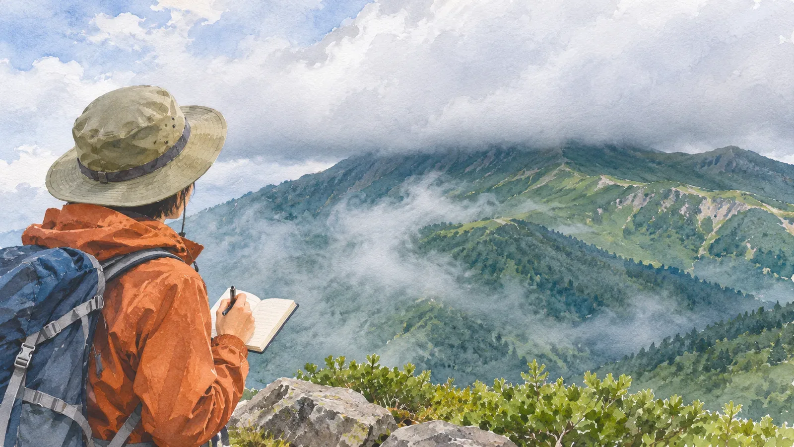
Can cloud-base height tell you at what elevation you’ll walk into cloud? An observation can help, once you know where and when it was made and what the height is measured from. A reading at a distant airport covers a different place and time from your hike.
What cloud-base height describes
The cloud base is the bottom of a cloud. Airports observe its height visually or with instruments to support flight operations. The Japan Meteorological Agency (JMA) explains that a ceilometer sends light upward and calculates the height from the time the return signal takes.
The Naha Aviation Weather Station explains that its ceilometer looks straight up and can only detect clouds directly above it. This provides information about the sky above the airport. It doesn’t measure all the slopes on surrounding mountains.
There can be several cloud layers. Check the product description to see which layer the number refers to and how missing data or no detected cloud is displayed. A single height doesn’t establish mountain visibility.
Check the height reference and units
Height above the ground and elevation above sea level use different reference levels. Naha’s aviation observations report cloud base in feet above aerodrome elevation. Check the reference and units before comparing that number with elevations on a hiking map.
To compare numbers with different references, identify the starting level for each. Converting feet to metres alone leaves the reference difference. If you can’t find the definition, check with the provider before using a specific height in your plan.
Even with matching units and reference levels, an airport and a mountain can have different terrain and cloud cover. Treat the calculated height as one clue to where the cloud may be.
Read the time and location together
Clouds move, form and dissipate. Check where and when the observation was made and how far it is from the trailhead or summit. An observation before departure may not describe the ridge hours later. Check the age of images and saved screenshots as well.
The Obihiro Weather Station describes what Japanese hikers call gasu as being inside a cloud covering the mountain. It also explains how air forced up slopes can help clouds form and develop. Conditions at a lowland station or airport tell you little about clouds on a particular slope or across a ridge.
If you consult webcams or hut reports, check the time and location of each one. A camera shows one direction. Conditions on other slopes or later in the day can differ. Compare several sources and leave unresolved points open when planning.
Check visibility and the route again on the ground
Japan’s National Police Agency advises practising with a map and compass and checking your location regularly. Track junctions and terrain as you go so you can locate yourself when visibility changes. If it drops, stop somewhere safe and share your position and next landmark.
The Obihiro Weather Station suggests asking someone lower down by phone how far up the mountain the clouds reach. This is a visual observation at that moment. Reception may be unavailable, and people at different positions will have different views.
Use cloud-base height as one input when preparing. If you lose confidence in your position or route, avoid continuing downhill just to get below cloud. Check the route and footing before retracing it. Consider the weather and how you’re doing, whether you can wait somewhere safe and whether you need to call for help.
Summary: check the place, time and height reference
Read cloud-base height with its observation site, time, reference level and units. Use airport data alongside forecasts and local reports. Once on the trail, check what you can see and where you are and adapt the plan as conditions change.