
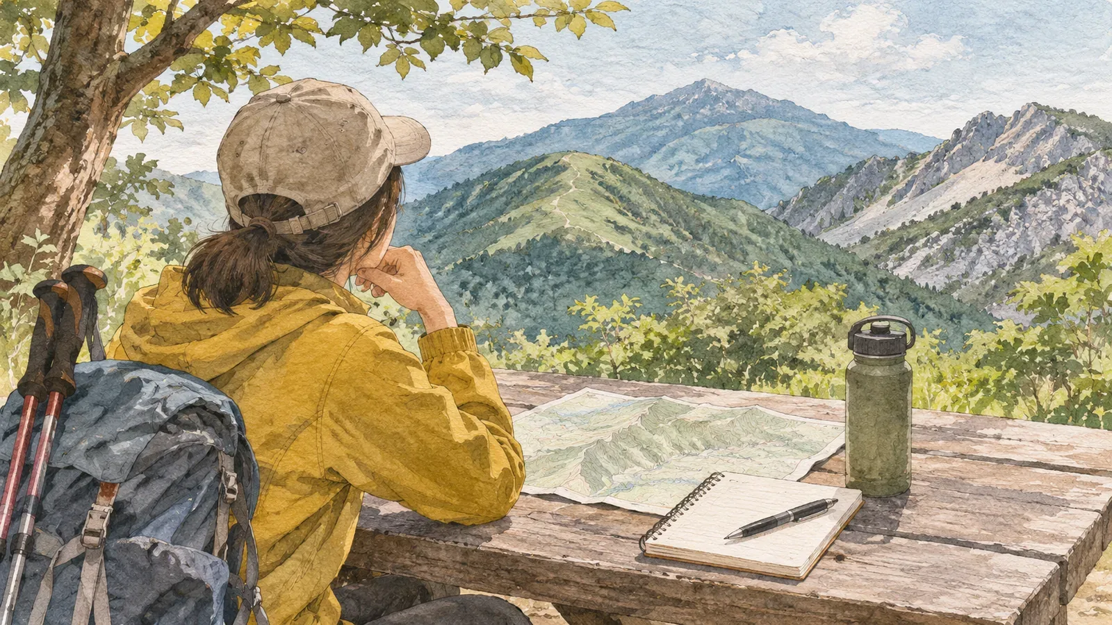
A popular mountain may still be a poor fit for your first hike. Prefectural mountain grading pages available as of October 28, 2026, explain that they select routes for their charts partly by the number of hikers. Inclusion is no recommendation to climb. Choose a first route by comparing its physical demand and technical difficulty with your own experience.
Why a popular route appears in a grading chart
Gunma grades 99 routes for physical demand (1–10) and technical difficulty (A–E). It explains that it picked relatively well-traveled routes in the prefecture and that inclusion does not necessarily mean the prefecture recommends hiking them. Gifu gives the same notice for its 75 routes, selected mainly from Gifu's 100 Mountains with attention to how heavily they are used.
Popularity helps decide which routes are listed. The grades themselves describe the route. The selection also varies by prefecture. Yamanashi covers 123 routes on its own 100 Famous Mountains. Alongside its local grades, Niigata links to a chart produced by Nagano that covers 210 routes across 68 peaks on the national list of 100 Famous Mountains. Check whether you're reading the local chart or one drawn from several regions.
The sources we reviewed leave open whether popular mountains are especially dangerous or suitable for beginners. Start with the route's numbers and conditions when deciding whether it fits your experience.
What the grades measure
Yamanashi and Niigata explain that the route coefficient behind physical demand uses route time, total distance, cumulative ascent and cumulative descent. Gunma publishes the formula: estimated route time (hours) × 1.8 + total distance (km) × 0.3 + cumulative ascent (km) × 10.0 + cumulative descent (km) × 0.6. Gifu divides the coefficient by 10 and rounds up to the next whole number to assign a grade from 1 to 10.
The inputs are the route's dimensions and time. For a hypothetical four-hour route of 6 km with 0.5 km of ascent and 0.5 km of descent, Gunma's formula gives 14.3. A six-hour route of 9 km with 0.9 km up and 0.9 km down comes to 23.04. On the day, allow time separately for queues. Check each prefecture's rules for converting the coefficient to a grade.
Technical difficulty is the other measure. In Yamanashi, A generally means a maintained route where it's hard to lose the trail. B can include steep climbs or descents and confusing sections. C may involve ladders, fixed chains or stretches with limited signs. A route can be easy on stamina and demanding underfoot, so read both grades.
Check whether the grade is new to you and whether the assumptions hold
Yamanashi and Gifu tell beginners to move gradually from the lower left of the chart toward the upper right. Gunma also starts people on routes lower in physical and technical difficulty. Gunma and Gifu say to take an experienced companion the first time you try a grade. Before setting out, check whether that route takes you into a grade you haven't walked.
This matters for experienced hikers as well. Yamanashi, Gunma and Gifu ask people to assess their present abilities. Niigata says incidents also affect enthusiasts who overestimate their fitness or skills.
Take care on well-known low mountains, too. Yamanashi Prefectural Police reports cases of people losing the trail after dark without lights, or getting lost without a map. That observation covers cases published for Yamanashi Prefecture.
The grading charts assume snow-free trails and good weather. Gunma says other conditions make the route more difficult. Yamanashi's grades date to 2016. Conditions can change with an earthquake, washout or other event, so it advises checking the latest route status with a hut, municipality or police station.
How to reconsider a popular route
The following steps draw on the guidance above and give you a way to compare options.
First, identify the exact route from where you start to where you finish. Gifu points out that a mountain can have several routes that share the same trailhead.
Second, check its physical and technical grades in the prefectural chart. If it isn't listed, get the route time, total distance, cumulative ascent and cumulative descent from official information, and compare them with a route you walked recently. When comparing charts from different prefectures, check the conditions assumed, the start and finish, and whether each rating covers a round trip or one way.
Third, mark each thing that would increase from your last hike: time, distance, ascent, descent or technical grade. If several go up at once, look for a shorter route that gives you more room. If you split a route across two days, plan again for accommodation, reservations and gear. Build on your experience gradually, as the prefectures advise.
Fourth, decide what will make you cancel or turn back and put those conditions in your hiking plan. The National Police Agency advises leaving time in hand, knowing hazards and escape routes, and writing, sharing and filing a plan. Niigata lists YAMAP and Compass, email, post or fax to police, and submission boxes at trailheads as ways to file.
A phone can help you call for rescue, but the National Police Agency warns that reception and battery life are limited on many mountains. Plan around those limits. If you suspect you've lost the trail, stop, assess the situation and end the hike early if needed. Retrace your steps only if you can confirm the way and follow it safely. Call for help promptly if you can't move on your own. Stop on stable ground out of other hikers' way to check your map.
Use popularity to find ideas and conditions to make the decision
Popular mountains are a natural place to start looking. Identify the exact route, read the two grades, check whether the grade is new to you, and see whether the day will be snow-free and clear enough for the rating to apply. If conditions don't fit, skip the hike or choose a route one grade lower. Decide in advance so popularity doesn't draw you into a route beyond your current experience.
References and sources
- Yamanashi Prefecture, Yamanashi Mountain Route Grading
- Yamanashi Prefectural Police, Mountain Incident Statistics
- Gunma Prefecture, Mountain Route Grading, revised April 2025
- Gifu Prefecture, Mountain Route Grading
- Niigata Prefecture, Niigata Mountain Route Grading
- National Police Agency, Overview of Mountain Incidents in 2024
- Niigata Prefectural Police, submitting a hiking plan