
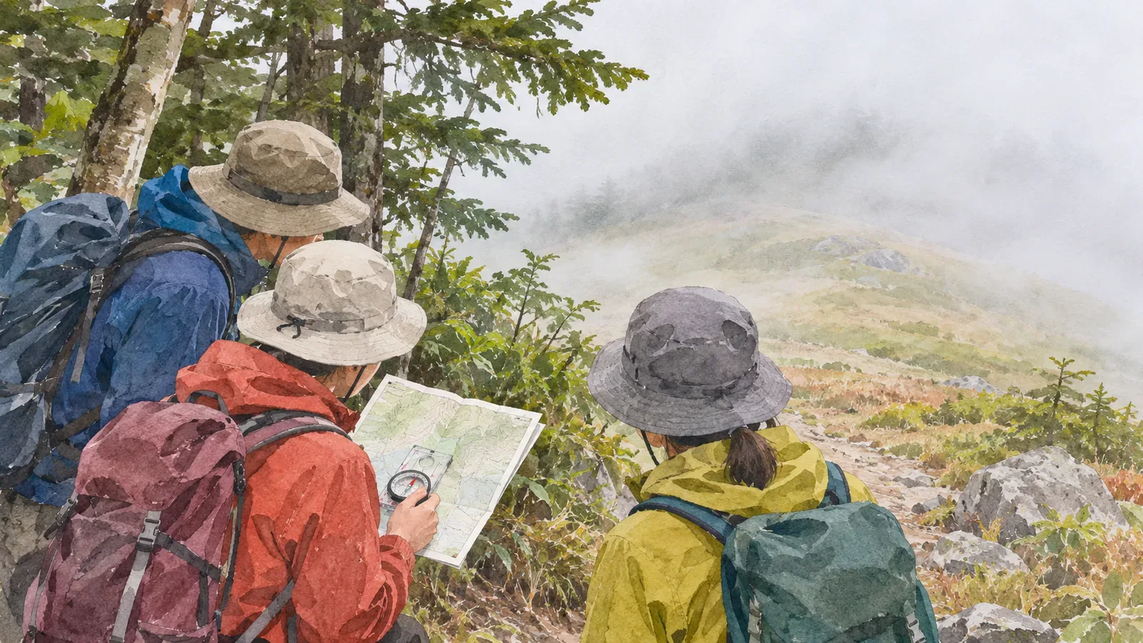
Just before leaving the forest is a good time to check the map, your position and the route ahead. Fog may hide the summit or ridge you expected to see. Track your position while visibility is still good, and stop somewhere safe to agree on your direction and when you’ll turn back.
Check your position before leaving the trees
Choose a safe place to stop and identify possible positions on the map. Compare the last junction, signs, terrain and walking time. If you can’t narrow it to one place, tell your companions. Check that several clues agree before relying on a sign or a dot on a screen.
Japan’s National Police Agency advises carrying a map and compass and checking your position regularly. It also recommends using a hiking map app alongside a paper map. Battery life and reception can change, so practise before you leave and prepare your maps and spare power.
The forest edge may be hard to identify, and there may be nowhere suitable to stop just before it. Use the terrain and trail width to choose a safe place, even if it’s farther back.
Identify the next landmark and junction
Once you have a good idea of your position, check the map for the next junction, changes in terrain and your planned direction. Look for clues along the way that show whether you’re still on course and how far you intend to go. Plan for clues you can use when distant landmarks disappear.
If you use a compass or electronic positioning, learn how to use it with the map before the hike. Check the route and think through errors or a dead battery in advance. Cross-check the display against terrain and places you passed.
If you don’t know which way to go, secure your footing and stop before searching for landmarks. Compare the last known point, the map and what your companions know. Consider turning back or calling for help if needed. Stay away from hazardous terrain while checking.
Adjust the plan for fog and wind
The Obihiro Weather Station describes the mountain fog hikers call gasu as being inside a cloud covering the mountain. Fog can form suddenly. Distant features may remain hidden after you leave the trees. Before setting out, check the latest forecast and local conditions. The Japan Meteorological Agency also revises its scheduled prefectural forecasts when the weather changes rapidly, so check for updates instead of relying on a saved screen.
The agency defines fog as suspended water droplets reducing horizontal visibility below 1 km. This describes the weather. The police also warn that poor visibility raises the risk of losing the route or falling. If you can’t confirm your position or next landmark or see how to proceed safely, reassess the route. Check direction and footing if you turn back, and decide while you still have room to do so.
Clothes and gear can get damp in fog even without rain. Protect maps and spare clothing before leaving and check them at a safe stop. Watch how everyone is doing, including exposure to wind and cold and signs of fatigue, and adjust accordingly.
Share the route with your companions
Say where you are, which junction is next, which way you’re going and where you’ll check again. Have everyone locate the group on the map so discrepancies are easier to spot. If anyone disagrees, compare the available information before moving.
It’s easier to lose sight of each other in fog. Agree on spacing and calls, and check that nobody has fallen behind when you stop safely. Tell the group before stopping to adjust gear or take a photo so you don’t get separated.
Review the plan if you reach an agreed time, weather or health limit, however near the summit is. When the decision is difficult, take the safer option while you still have time. Checking before leaving the trees gives you the information you need to decide.
Summary: confirm your position and next move before losing visibility
At a safe stop before leaving the forest, confirm and share your location, next landmark, direction and turnaround conditions. Practise with the map, compass and positioning tools in advance in case fog hides the landmarks. If your position is uncertain, stop and reconsider the plan.