
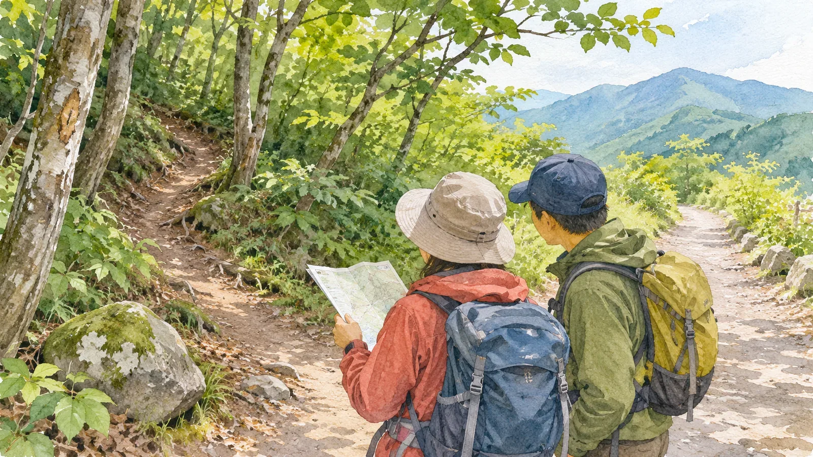
If someone suggests a shortcut, check whether hikers are allowed to use it before you try it. Ask about the entrance, terrain, date of the information, where you could return to, and the markers. Compare the answers with the map and current information from the trail manager. If you cannot verify the details, skip the shortcut. Check that the planned trail is still open and that you have enough time and energy for it. Call off the hike if necessary. The steps below draw on guidance for avoiding getting lost.
A shortcut often starts with a junction
Shortcut advice often begins with “take that fork and you'll get there faster.” YAMAP MAGAZINE lists overlooking signs at junctions as one reason people get lost. A hiking trail can branch away from a forest road and be easy to miss because the forest road is easier to walk on. Forest roads are designed to avoid steep terrain for vehicles, so the road may take you in a completely different direction. On a descent you can mistakenly follow a spur ridge. On an ascent beside water you can mistake a tributary for the main stream.
You may not recognise the entrance or markers from your direction of travel. Ask if the person has walked it or heard about it from someone else. Even well-meant advice may come from a different season or someone with different gear and skills. A promise of saving time is too little to add the shortcut to your plan.
Five questions to ask about the shortcut
These questions adapt the guidance above. If you cannot ask at the time, follow up later or leave the shortcut out of the plan.
First, where is the entrance? Ask which junction to use, which side to approach from and whether there is a sign. If there is none, ask which feature on the topographic map marks it, such as a ridge, a stream valley or a bend. Second, what terrain does the route cross? The guide recommends describing your route in terms of the terrain and checking it on the trail, with particular attention to bends and changes in terrain. You can compare the shortcut with the map once you know whether it follows a ridge, crosses a slope or runs alongside a stream.
Third, how recent is the information? Ask when the person last walked it, in which season and whether they were going up or down. In 2018 the Geospatial Information Authority of Japan released corrected maps for Kamikōchi and the Yatsugatake mountains after finding major differences between mapped trails and hikers' tracks. Some rerouted sections had previously been missing. That example shows that maps and trails can differ. Treat older reports as leads and check current information from the trail manager.
Fourth, where can you return to? Ask where you would go back if the route stops matching the description and what trail you could rejoin. The Central Council for Mountain Accident Prevention includes escape routes in its planning guidance. Fifth, what markers are there? If someone tells you to follow tape, ask what the tape is for. The guide notes that tape can be put up for forestry, power-line maintenance, animal control or other work unrelated to hiking. Use it only as a secondary clue.
Verify the details with maps and official information
Compare what you heard with a map at home. The summer guidance lists a 1:25,000 topographic map or route map among the items to bring. Pencil in the entrance and the route and see whether they fit the contour lines. If the supposed ridge looks like a valley on the map, leave the shortcut out. A line on a map cannot establish access. The mapping agency's announcement concerns corrections to trail locations. It does not confirm which routes are open.
Check current information for trail closures, access restrictions and official detours. The summer guidance also calls for checking recent mountain information and restrictions. Ask the trail manager whether the route is a service road or crosses restricted land. Avoid shortcuts that cut across slopes away from signs or permitted trails.
If using a phone, save the maps you need before departure. YAMAP, for example, says downloaded hiking maps are available offline. Check your app's instructions and test opening the saved map with mobile data switched off. This prepares the map for use on the trail. It does not show whether the shortcut is open. Bring a paper map and prepare for the battery to run out.
Decide before departure when to skip it at the entrance
Set conditions before departure for passing up the shortcut, so you can decide without hesitation at the entrance. For example, skip it if the entrance differs from what you were told, signs or terrain do not match the map, tape is the only clue, or you have too little time or battery charge, or a tight weather window. Check whether you can continue on the planned route. If time is short or you are feeling unwell, consider calling off the hike. Agree on the conditions before you leave so you have a consistent way to decide on the spot.
When you need to check the map, stop at a stable spot where others can pass. Use the screen only when stationary. Avoid going in an unfamiliar direction to look for a place to check. Retrace your steps only if the return is clear and safe. The guide recommends checking a map or app early when something feels off, so you can catch a mistake before it takes you farther off route. Experienced hikers can also make a wrong turn. Continuing without noticing it can leave you lost. The National Police Agency similarly advises against going on blindly if you suspect you are lost. Assess whether you can return safely to the official trail and end the hike early as needed.
Share your trip plan with family or another contact who will stay behind, and file it by the method specified for your hiking area. If you intend to use a different trail, research it in advance and include it in the itinerary. Follow the filing service's directions for plan changes. Tell your contact after you get down and check whether your filing service asks for a return report. Procedures vary by service. Leave unresearched shortcuts out so the route you share matches the route you hike.
Use the shortcut only after you have checked the details
Break the suggestion down into five parts: entrance, terrain, date of the information, where to return, and who put up the markers. Base your decision on what you can corroborate with a map and current official information. If any part remains unclear, treat the shortcut as unverified. Take the planned route if you have checked its current status, or call off the hike if necessary. Before your next hike, try matching the advice you heard to the five questions and marking the answers on a paper map. The gaps show you what may lead you to skip the shortcut in the field.
References and sources
- YAMAP MAGAZINE, Daisuke Washio — Skills and habits for avoiding getting lost
- National Police Agency of Japan — Overview of mountain incidents in 2024
- Geospatial Information Authority of Japan — First topographic maps with trails corrected using movement data (March 7, 2018)
- Central Council for Mountain Accident Prevention — Summer mountain safety notice and gear checklist (July 2019)
- YAMAP — A simpler flow in the redesigned app (updated August 17, 2026)
- Nagano Prefecture — Filing a hiking trip plan