
Altimetry
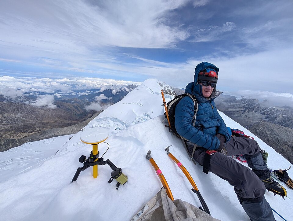
The official mapping cited by IDEAM records both summits at 5,775 m. The 2024 campaign measured Bolívar by differential GPS directly on its summit and obtained 5,720.42 m. Colón was estimated by relative methods in the same study, yielding 5,712.79 m. The ice relief on each summit affects the historical comparison of elevations.
First ascents
On 2 February 1939, Guido Pichler, Enrico Praolini, and the Colombian Erwin Kraus reached the summit, according to Echevarría. In 1951, Kraus returned to the massif together with Cuenet and Griere by a route on the north face.
2024 expedition
In December 2024, Eric Gilbertson, Ginge Fullen, and Jonathan Suarez ascended via a rock variant on the south flank of the east ridge, with Arhuaco authorisation and local support. The team recorded 45 minutes of differential GPS on the summit for the altitude measurements.