
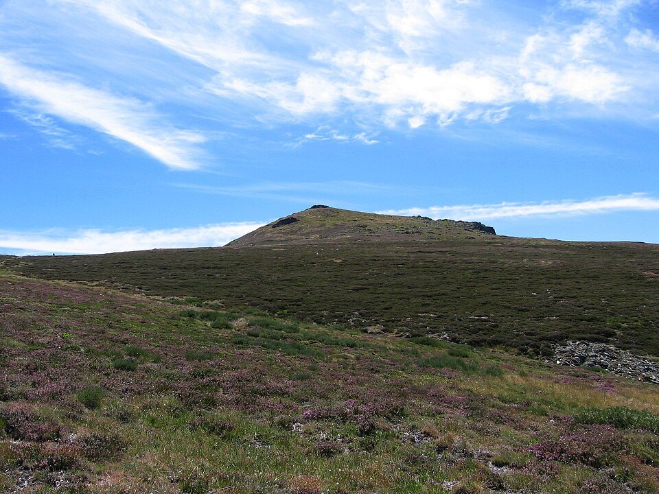
Borderland geography: Valdeorras and Sanabria
The summit sits at a well-defined point of territorial convergence. On the Ourense side it belongs to the comarca of Valdeorras, while on the Zamora side it falls within the comarca of Sanabria. This boundary position is not merely administrative: the massif forms a divide between two river basins and two distinct landscape traditions. The so-called Montes de Trevinca or Macizo de Trevinca — place names derived from this peak — group together mountains whose average elevation is around 1,600 metres, making Peña Trevinca a summit that stands out markedly above its immediate surroundings.
The Puerto de Fonte da Cova and the former ski station
On the Ourense side, one of the documented approach options starts from the village of Sobradelo, where the provincial road OU-122 towards Casayo begins. Beyond that village, the road climbs to the Puerto de Fonte da Cova at 1,800 metres above sea level, which marks the boundary between Galicia and León. Sources indicate that a former Trevinca ski station was located at that col, now abandoned. This detail places the recent history of the area within the context of the decline of low-altitude mountain ski resorts on the Iberian Peninsula.
Rooftop of the northwest peninsula
The elevation recorded by the IGN — 2,127 metres — makes Peña Trevinca the maximum altimetric reference for the entire northwest of the Iberian Peninsula at the contact zone between the Leonese plateau and the Galician block. Within the Sierra Segundera, which is itself part of the Montes de León, the peak acts as the apex of an ancient mountain system shaped by differential erosion processes that have left a landscape of rounded forms, in contrast to the more rugged summits of the Pyrenees or the Central Range.