
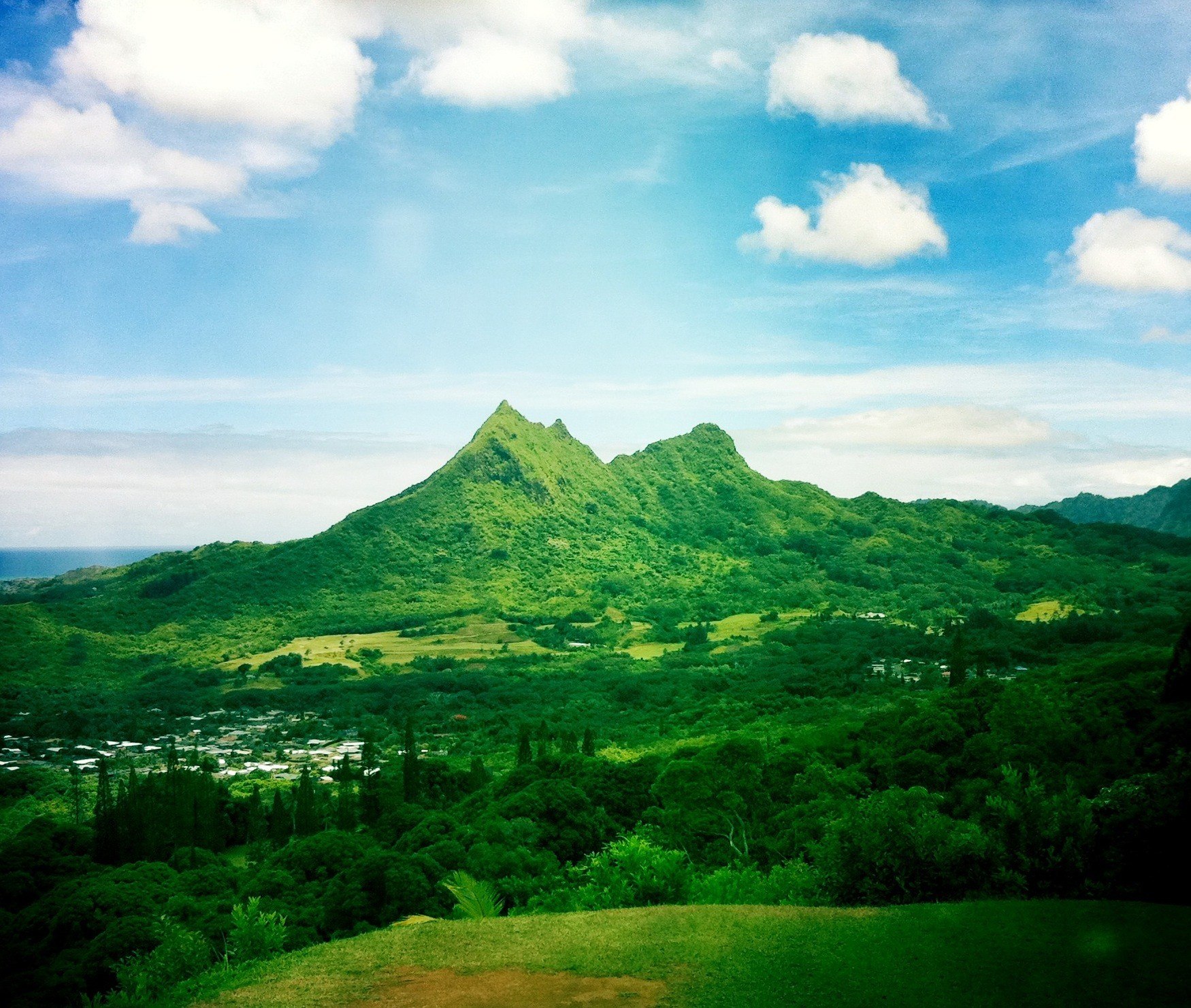
Volcanic Remnant and Landform Character
A cultural and environmental assessment commissioned by the Hawaiʻi Department of Land and Natural Resources describes the Olomana peaks as a resistant remnant of older volcanic material. Differential erosion over geologic time stripped away softer surrounding rock, isolating these harder masses and producing the sharp, vertically exaggerated ridgeline that defines Olomana's silhouette.
The Name and Its Recorded Meaning
Hawaiian-language dictionaries record olomana as meaning "forked hill," reflecting the peak's multi-summited appearance. A documented moʻolelo recounts the warrior Palila and a giant named Olomana said to have inhabited this part of the island. Hawaiian sources treat this narrative as a named oral tradition connected to the landscape, predating Western survey records of the peak.
Setting in the Maunawili Landscape
Olomana rises at the inland edge of the Maunawili valley, documented by the Hawaiʻi DLNR for both cultural and ecological significance. The Kawainui–Hāmākua wetland complex, one of the state's largest lowland wetlands, lies to the north and west. State planning documents treat the peak and valley as a connected cultural landscape rather than an isolated summit.