
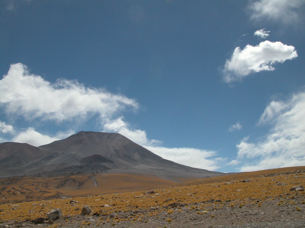
Geology and volcanic age
The Smithsonian Institution catalogue classifies Nevado San Francisco as a volcano and records potassium-argon dates obtained from rocks of the edifice. The measured values are 1.34 and 1.32 million years. These figures correspond to specific materials analysed in the laboratory and do not describe the present landform nor indicate the timing of any eruption.
Geography and international boundary
The summit is geographically distinct from the Paso de San Francisco, a lower-elevation border pass separating Atacama from Catamarca. Both features share a name owing to their geographic proximity. They occupy different positions and are of different geomorphological character. Cerro Incahuasi is another mountain in the same range and is not an alternative name for this summit.
Documented mountaineering
According to Andeshandbook, the Austrian geologist Walther Penck made a documented ascent of Nevado San Francisco in 1913, during his scientific work in the Andes. Sources do not attribute to him the status of first ascent, nor do they record any data on earlier expeditions.