
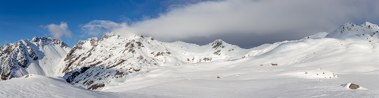
Summit and Ridge
The peak occupies the west end of Angelus Ridge within the Travers Range, southwest of Lake Rotoiti. The LINZ Gazetteer records the official dual name and the summit elevation of 2,075 metres. The Travers Range crest runs through demanding alpine terrain, and the summit sits at a markedly greater elevation than either the hut or the lake below.
Dual Naming and Treaty Recognition
The Ngāti Tama ki Te Tau Ihu Deed of Settlement lists dual names for the peak and the lake below it. The peak carries the name Maniniaro / Angelus Peak; the lake is separately named Rotomaninitua / Lake Angelus. These spellings appear in both the LINZ Gazetteer and the Treaty settlement documents, and the two features are treated as distinct in naming and in elevation.
Lake, Hut, and Topographic Distinction
Rotomaninitua / Lake Angelus sits in a cirque below the summit. The Angelus Hut, a Department of Conservation facility, stands near the lake at around 1,650 metres according to DOC mapping. That figure describes the hut and lake setting; Maniniaro / Angelus Peak rises substantially higher above them.