
Names, Elevations, and Survey Record
The Kazakhstan national toponymic encyclopedia, page 173, records Zhalpaq at 3,852 metres as the watershed divide between the Kaskelen and Aksai rivers. Soviet military topographic sheet K-43-46, dated 1986, prints Zhalpak at 3,852.7 metres with its spot height placed on the western ridge. The Kazakhstan National Association of Mountain Guides records this summit as Kaskelensky at 3,852 m.
A separate summit of 4,198 metres bearing a similar Zhalpaq name lies further up the valley. Field reports and the guides' summit list treat these as two distinct peaks; the lower 3,853 m summit is the subject of this entry.
Terrain and Surrounding Landscape
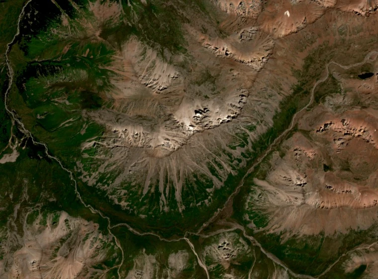
Alexander Petrov locates Zhalpaq/Kaskelensky at the western end of the Aksai Horseshoe, a spur that includes Peak Mir and separates mountain valleys southwest of Almaty. Field accounts note the north couloir above the Poperechny side stream as a defining feature of the northern approach, contrasting with the southern slopes approached from the Kyzylkungey area.
The gorges and foothills of this part of the Ile Alatau carry conifer forest at lower elevations, giving way to alpine meadows and bare cliffs. Official park and tourism accounts describe the Kaskelen and Aksai rivers as glacially fed. Ile-Alatau State National Nature Park, established by government decree 228 in 1996, encompasses the broader range; Kazakhstan submitted the wider Northern Tian Shan landscape to the UNESCO Tentative List in 2002.
Climbing History and the Aksai Horseshoe
The Kazakhstan Federation of Mountaineering and Sport Climbing records Boris Studenin's March 1958 traverse of the Aksai Horseshoe, a circuit along the spur between the Kaskelen and Aksai valleys, as a 14-summit variant. The federation's classification lists this route as a distinct achievement in the documented mountaineering history of the range.
Soviet topographic sheet K-43-46, 1986 edition, preserves the spelling Zhalpak and records the summit elevation as 3,852.7 m.