
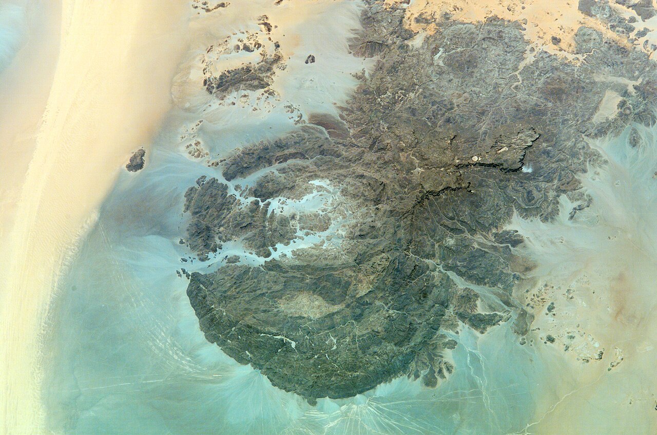
Granite Ring and Sandstone Plateau
The massif combines two distinct geological formations: a granite ring in its western portion and incised sandstone plateaus to the east. NASA Earth Observatory ASTER imagery has helped document the surface structure of these formations, revealing the interplay of erosion and resistant rock that created the sheltered wadis where art and inscription concentrate.
Cattle, People, and the Painted Sites Survey
A field survey published by Zboray and colleagues recorded 414 painted sites across the massif. Of these, 337 depict domestic cattle alongside human figures, placing pastoralist communities at the centre of the pictorial tradition. The British Museum's African Rock Art project draws on this corpus to document the range of species and social scenes represented across the site.
2004 Trilateral Field Workshop
In 2004, UNESCO convened a trilateral field workshop bringing together specialists from Egypt, Libya, and Sudan for a four-day visit to Jebel Uweinat. The workshop developed shared approaches to documentation and protection, reflecting the site's position as a cultural resource held across three national jurisdictions.