
Names and recorded heights
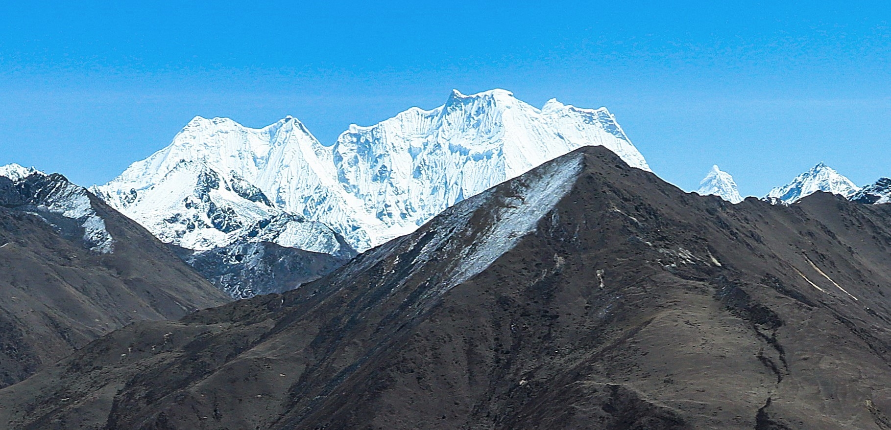
The massif appears under several document-specific spellings across its written record. M. S. Kohli's 1985 Alpine Journal list, prepared with the Bhutan Tourism Corporation, uses Gangchen Tag as the primary form and gives Kancheta as an alternative, listing the elevation at 7,000 m while explicitly noting that the elevations in that table are tentative. The Jigme Dorji National Park conservation management plan for 2021–31 adopts Gangche Tag and likewise carries the 7,000 m figure, mapping it separately from neighbouring summits Matsan Gang and Gangchen Singye. Günter Seyfferth's detailed annotated map of western Bhutan labels the peak Gangchenta at 6,678 m, with field photographs that distinguish it from adjacent summits including Tseja Kang. The documents report differing values and do not supply enough consistent measurement information to choose between them.
A Himalayan Journal field report on the high traverse also records the name Tiger Mountain alongside Gangchentag, adding a local name to the cartographic record. The park management plan maps the massif as a distinct feature within a cluster of named high peaks along the Bhutan–Tibet divide.
Glacier waters and the Mo Chhu
Bhutan's 2021 Glacial Lake Inventory identifies western source waters of the Mo Chhu near Gangchen Tag and eastern source waters near Masang Gang. The inventory mapped 66 glacier-associated lakes covering 4.25 square kilometres across the entire Mo Chhu sub-basin, a figure that encompasses the broader headwater region. The Mo Chhu itself is a branch of the Punatsang Chhu river system, draining southward through Gasa District. The Bhutanese hydrometeorological agency's technical reassessment places Lemthang Tsho, a glacier-fed lake at the foot of Gangchen Tag, at approximately 4,280 m in the northwestern Gasa headwaters.
The 2015 Lemthang Tsho flood
On 28 June 2015, Lemthang Tsho drained suddenly when its natural moraine dam — a barrier of accumulated rock debris deposited by a glacier — failed. Reconstructions by Bhutanese agencies and the International Centre for Integrated Mountain Development combined field measurements with pre- and post-event satellite imagery. Two smaller connected ponds on the glacier had drained into the lake, triggering the dam failure. Floodwaters travelled down the Mo Chhu valley, damaging bridges and trails below.
The event was investigated jointly by Gurung and co-authors in a detailed study that corroborated the government's contemporaneous account. The flood made the connection between headwater lakes and downstream infrastructure observable, showing how a failure at the glaciated headwaters of the Mo Chhu can affect the valley communities and infrastructure that follow the same river corridor.
Views from the Laya traverse and highland life
The Himalayan Journal's account of the Limithang–Laya stretch records clear views of Gangchentag, Tseja Kang, and Masangang from the trail, documenting the massif as a prominent feature of that mountain corridor. Seyfferth's annotated panoramas record sightlines to Gangchenta both during the descent from Sinche La and at Limithang, naming the surrounding summits visible from each vantage point. These are documented viewpoints from the Bhutan side of the divide.
Laya itself, the highland settlement to the east of the massif, supports a pastoral economy built around high-altitude yak herding. Bhutan's Department of Local Governance records the Royal Highland Festival, first held in Laya in 2016, as a celebration of that pastoral culture and its products.