
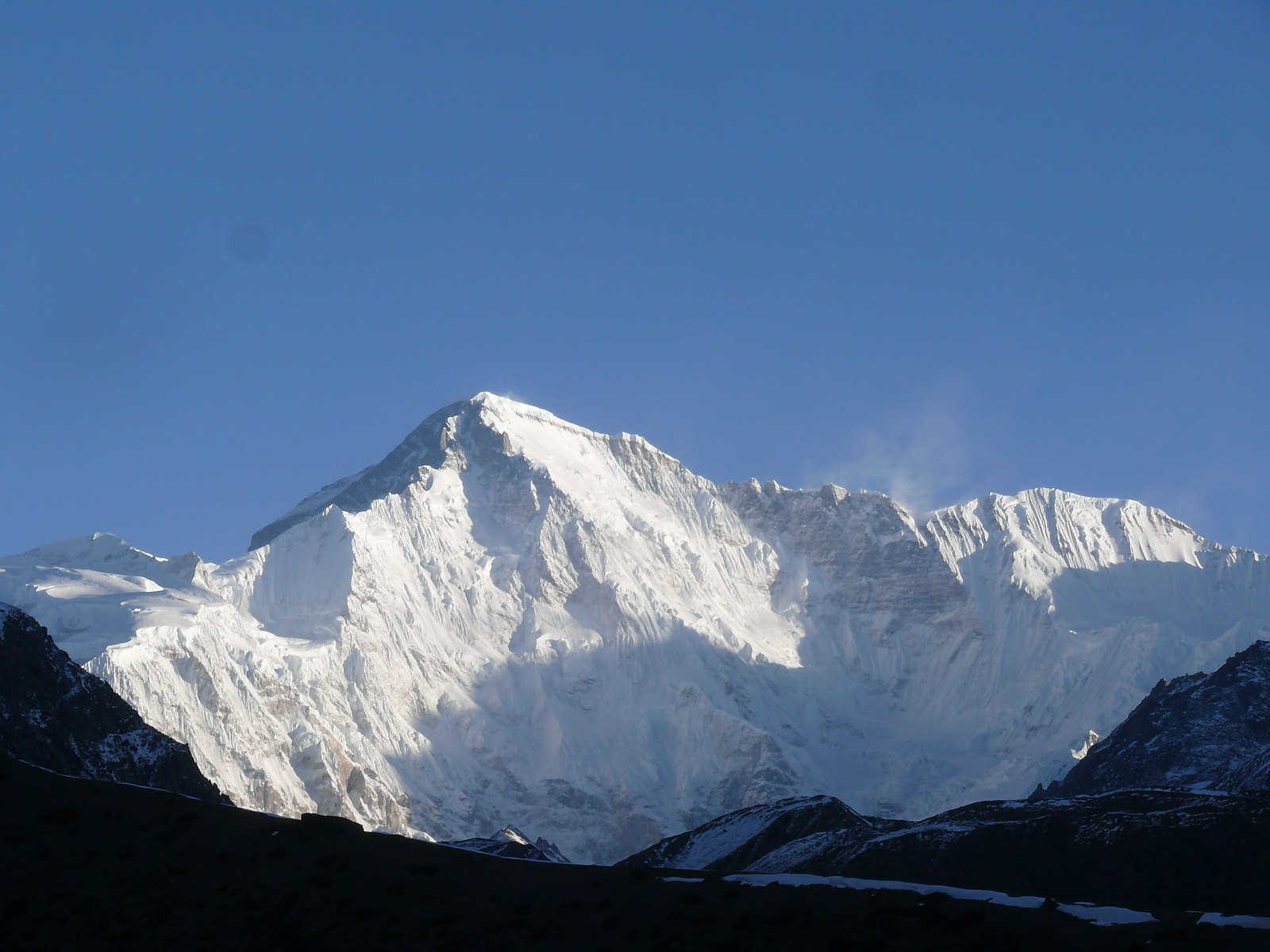
The 1954 Austrian Expedition and the First Ascent Record
In 1954, Austrian mountaineers Herbert Tichy and Sepp Jöchler, together with Sherpa guide Pasang Dawa Lama, jointly completed the first human ascent of Cho Oyu. The expedition was documented in the annals of The Himalayan Club, with both the summit sequence and the team composition on record. Unlike the predominantly all-European expedition model of the Mallory era, Pasang Dawa Lama is explicitly listed among the first ascentionists as a Sherpa member, reflecting certain shifts in Himalayan climbing culture during the 1950s.
In 1958, The Himalayan Club again recorded a summit of Cho Oyu, including information on Pasang Dawa Lama's second ascent of the peak. This makes him one of the very few Sherpa guides with two recorded summits of the same 8,000 m peak — a historical detail of considerable reference value for understanding the trajectory of early Himalayan climbing history.
Topographic Location and Disambiguation of Features Sharing the Same Name
According to sources from Tibet's water resources authority and Himalayan climbing archives, the summit of Cho Oyu lies definitively on the main crest of the China–Nepal border. For geographic identification, particular attention should be paid to the fact that the area contains lower eastern subsidiary tops and other features sharing the peak's name; none of these constitutes the summit of Cho Oyu. When citing geographic data or ascent records, strict reference must be made to the highest point on the border main crest, and sub-peaks or similarly named secondary landforms must not be conflated with the main summit.
Elevation Data and Discrepancies with Historical Measurements
A degree of discrepancy exists between the modern standard elevation figure for Cho Oyu and the values recorded in early expedition accounts — a measurement-history issue common to Himalayan high peaks generally. The surveying techniques and geodetic datums used by early expeditions differ from modern satellite surveying standards, so divergences in older values do not reflect actual physical change. When describing the height of Cho Oyu, priority should be given to values established by modern surveying methods; figures from historical expedition texts should be treated only as contextual historical background and should not be presented alongside modern values as equivalent alternatives.