
A Mapudungun place name
The name Manquehue comes from Mapudungun and is interpreted as the place or dwelling of condors, according to studies of Amerindian toponymy in the Metropolitan Region. The root combines a word for condor with a locative suffix, situating the hill within a layer of indigenous nomenclature that organises the territory by geographical and natural references.
Intrusive geology
A study of the rocks in the area recorded a date of approximately 19.5 million years for an intrusive andesite associated with Manquehue. That figure corresponds to the age of a rock that was emplaced beneath the earth's surface as it cooled slowly from magma, a process distinct from the current form of the summit, which was shaped by subsequent erosion.
Profile above the Mapocho
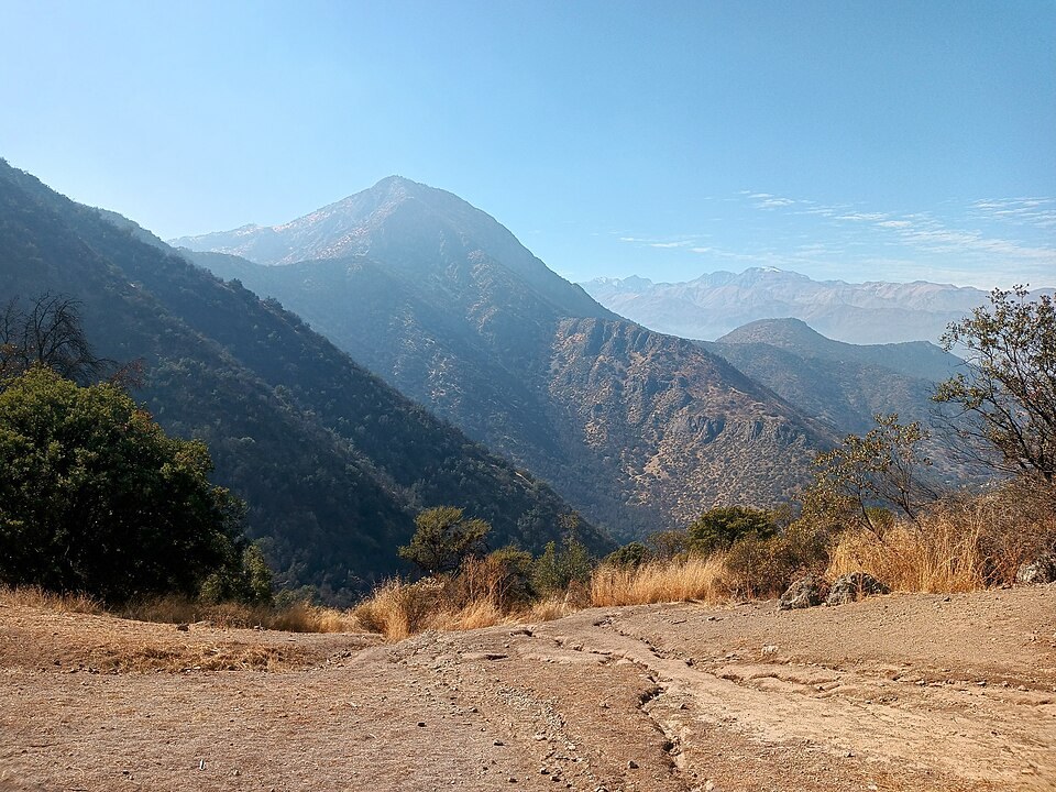
The southern slope of the hill descends directly toward the urbanised Mapocho valley, and its silhouette against the sky marks the visible northern limit of Santiago. The spurs that continue beyond it articulate the transition between the metropolitan basin and the ranges that frame it on that flank.