
Identity and Elevation
The Franklin Mountains Barrier Peak is recorded at 1,982 m by both LINZ and the New Zealand Alpine Club. The Darran Mountains peak of the same English name sits some 57 m higher and belongs to a distinct massif. The two should not be conflated: their elevations, locations, and climbing histories are independent. An older figure of 2,360 m does not correspond to this summit and should be disregarded.
Ridge, Pass, and the Milford Track
The NZAC places Barrier Peak on a long alpine ridge associated with the Omanui/McKinnon Pass area and the Castle River side. DOC mapping positions the summit northwest of the Clinton Valley, situating it immediately west of the Milford Track corridor without being part of the track itself. The ridge relationship to McKinnon Pass gives the peak its geographic context within the broader Franklin Mountains topography that walkers on the Milford Track view from below.
Glacier Monitoring Site 797F/4
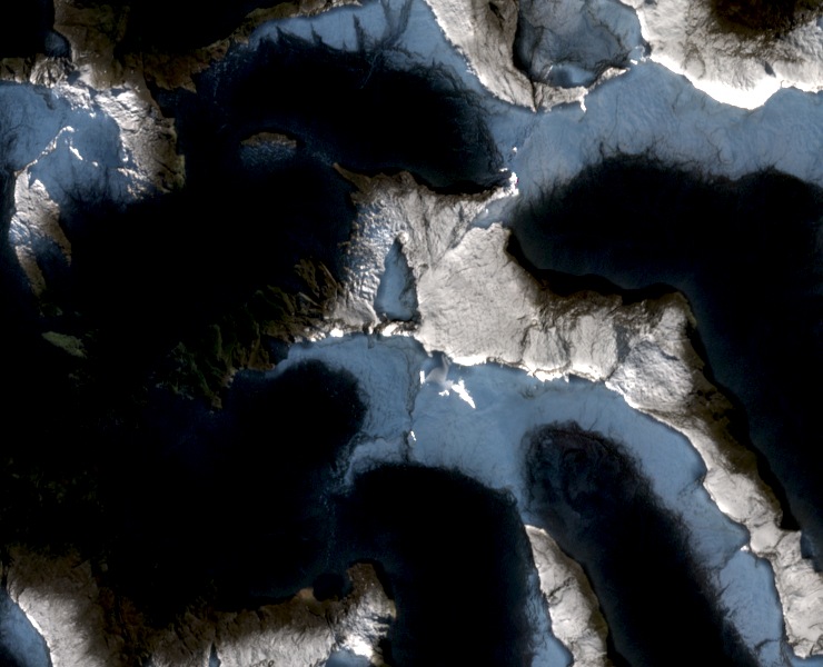
NIWA selected the small south-facing glacier near the summit as a reference site for its repeated end-of-summer snowline surveys, designating it site 797F/4. Each late summer, researchers record the boundary between snow persisting on the glacier surface and exposed glacier ice beneath; because this boundary shifts with seasonal and annual climate variation, its position provides a comparable measurement from one year to the next. The 2017 NIWA report documents the 2016 survey with photographs alongside data from earlier years, establishing the site as part of a multi-year record rather than a single observation.