
How the dual name came to the map
In the Ngāi Tahu account presented by the Department of Conservation, Aoraki and his brothers were aboard a canoe that became stranded. They climbed onto its tilted side and were turned to stone by the south wind. The story connects the mountain to the surrounding range and to Ngāi Tahu ancestry.
In 1851, while sailing off the West Coast, J. L. Stokes named the peak Mount Cook. The 1998 Ngāi Tahu settlement made Aoraki / Mount Cook the official dual name. It also recognised Ngāi Tahu’s relationship with the mountain through Tōpuni status and a role in its management.
The earliest recorded summit attempts
In 1882 the Irish climber William Spotswood Green and two Swiss guides came close to the summit. Tom Fyfe, Jack Clarke, and George Graham reached it in 1894, the first recorded ascent. For Ngāi Tahu, the highest point is the head of an ancestor, and standing on it is considered inappropriate. That relationship remains part of how the mountain is understood today.
Reading the mountain from below
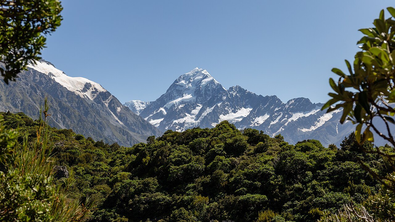
From the Sealy Tarns side of the valley, Aoraki can be seen in the context of the surrounding peaks rather than as an isolated point on a map. The park’s glacier valleys include the Hooker, Mueller, and Tasman systems. Their long troughs and ice-shaped slopes make the forces that carved the Southern Alps visible from lower ground.
The summit itself has also changed within living memory. In December 1991, a major rock avalanche broke away from high on Aoraki and travelled down ice on the east face. The event is a record of how quickly one part of a landscape otherwise shaped over long stretches of time can change.