
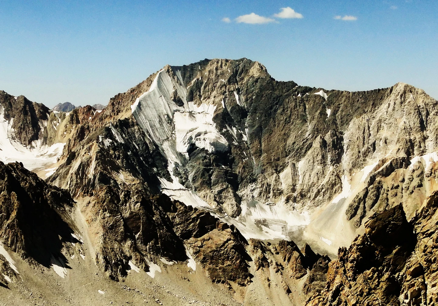
Terrain and Surrounding Landscape
The peak's northern aspect drains into the Barykrak valley, also written Barkraksay, and from there into the upper Oygaing valley system, itself rooted in the Pskem drainage. A cirque above Barykrak feeds the northern glacier, whose upper reaches show crevasses and exposed rock. The regional valleys below support the mountain gorge forests and juniper stands characteristic of the Ugam-Chatkal area.
Ganiev and colleagues' 2024 regional bird study examined lowland, foothill, and mountain habitats across Tashkent Region, where terrain spans from around 250 m near the Chirchiq river to roughly 4,300 m at Adelunga.
The Name and Its Attribution
The national tourism brochure published by Uzbekistan Travel attributes the toponym to Alexei Adelung, described there as a geologist and mineralogist, and places the name's emergence in the 1970s. The Mountain Club of Uzbekistan repeats this attribution with his complete name, Alexei Sergeyevich Adelung (1906–1963). By the time of the 1982 topographic survey the toponym was firmly in documented use.
The peak appears in sources as Mount Adelung, in Uzbek as Adelunga choʻqqisi, and in Russian as гора Аделунга.
The 2023 Northern Glacial Ascent
A HikeLab expedition account records a five-day ascent from 30 August to 3 September 2023 by Vyacheslav Niklyaev, Konstantin Kim, and Yulia Tyurina. The route followed the Barykrak valley out and back, covering 34 kilometres with a total altitude gain of 2,037 metres. The team established Camp 1 at 2,940 metres after crossing a saddle between Barykrak and the northern cirque, then Camp 2 at 3,650 metres on the moraine.
On the fourth day the climbers ascended through the crevassed lower glacier, then climbed approximately 250 metres of steep ice before encountering further crevasses, gaining the ridge at 4,140 metres and continuing to the summit. The team then descended along the same line.