
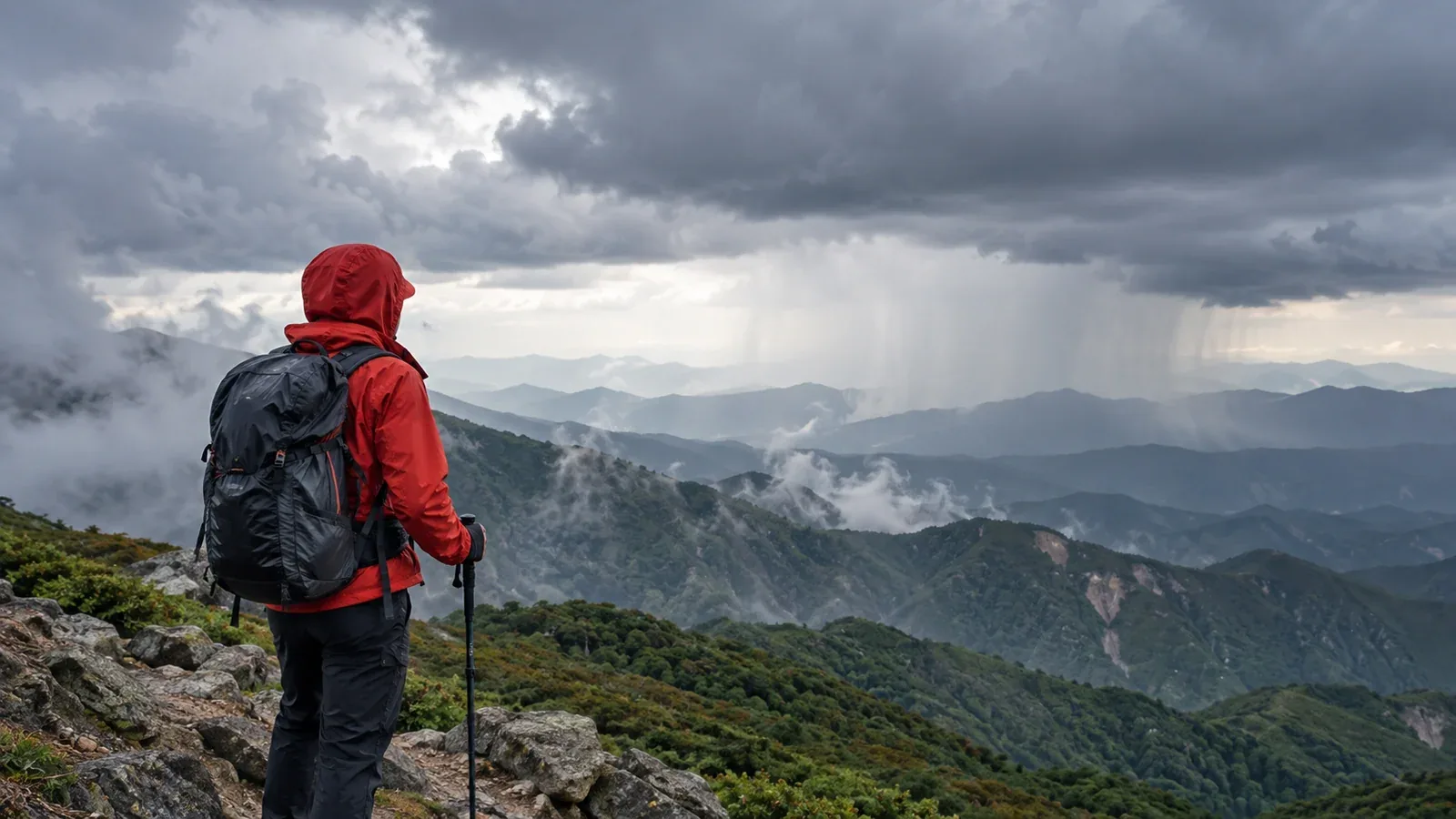
When the forecast looks poor, start by asking which parts of the route it would affect and whether the group can still get down safely. A decision made at home or at the trailhead leaves more options than one made on an exposed ridge.
This guide covers wind, precipitation and thunderstorms. Use the checks with the route’s terrain, the group’s experience and current official notices.
Choose a clear plan before leaving. Agree on the conditions that would make you shorten the route, postpone or turn back, and check again if the weather changes.
Wind: check the average, gusts and the terrain
A clear sky can accompany strong winds. On narrow ridges or uneven ground, wind can affect balance and make the descent harder.
Read the units and whether the number is sustained wind or a gust. JMA’s general descriptions of average wind give context for what the numbers can feel like. They do not set safe mountain thresholds.
- Around 5 m/s: Check how the wind affects the group before entering more exposed terrain.
- 10 to below 15 m/s: JMA describes this average wind range as fairly strong. Check gusts, footing and exposure.
- 15 to below 20 m/s: JMA classifies this as strong wind. Walking into it can be difficult. Avoid exposed terrain if the group cannot move with control.
- 20 m/s or more: Check the exact forecast and warnings. Conditions can be unsuitable for ridge walking and may affect access.
There is no single safe cutoff. On a narrow ridge, gusts, wet rock and limited escape can make even lower mean winds unsuitable. Choose a less exposed route or postpone if anyone would have difficulty walking or descending with control.
Check a forecast for the elevations and times of your route, including the descent, and compare it with JMA warnings. Allow for uncertainty. Gusts can be higher than the mean wind and can vary with local terrain.
Wind conditions you might overlook
Consider wind direction, gusts and time spent on exposed ground. In cold, wet or low-visibility conditions, the same wind can make movement, navigation or staying warm harder.
Precipitation: consider intensity, duration and temperature
JMA’s precipitation probability describes the chance of at least 1 mm in the stated period and area. Check expected amount, duration and temperature separately.
- Intensity and recent rain: Check how heavy rain may get and whether earlier rain has affected rivers, trail surfaces, slopes or access roads.
- Duration: Compare the expected wet period with the time you will be outside, including delays and the descent.
- Temperature and wind: Cold rain, wet clothing and wind can increase heat loss. Check whether you can keep everyone warm and dry enough to descend.
If the group lacks experience or equipment for sustained cold rain, choose a shorter route with easier exits or postpone. Also check official warnings, local closures and the condition of any stream crossing.
What waterproof clothing can and cannot do
Waterproofs help limit exposure, while rain can still affect footing, rivers and visibility. Confirm that the group can complete the route in those conditions. Do not cross a swollen stream to preserve the plan.
Thunderstorms: decide before entering exposed ground
If thunderstorms could affect exposed ground during your outing, choose a route and timing that keep the group away from it with margin, or postpone. A broad advisory calls for checking the specific route and timing.
Thunderstorms can develop quickly and earlier than forecast. A summit, ridge, tent or open shelter leaves you exposed. Plan a substantial enclosed building or closed hard-topped vehicle as shelter when safely reachable.
Check JMA’s forecast and thunder advisory, then the latest lightning nowcast before you lose coverage. An area without plotted activity can still develop storms.
If you hear thunder during a hike
Leave summits and ridges promptly and seek suitable enclosed shelter if it can be reached safely. Stay away from isolated trees and water. If no building or vehicle is reachable, leaving exposed high ground along a known route can reduce exposure, though the outdoors remains hazardous.
When hazards overlap
Consider what each hazard changes and whether the combination removes your margin to descend. One hazard can be enough to change the plan.
- Rain and strong wind: Added cooling and poorer visibility can make movement harder.
- Rain and thunderstorms: Rising water and lightning can limit both the route and your retreat.
- Wind, cold and rain: Wet clothing can increase heat loss even when the air temperature is above freezing.
Choose an alternative or postpone if the group cannot stay warm, move in control or reach a safe exit. Do not wait for multiple warning signs before acting on a serious hazard.
When to check the forecast
Use the schedule below as a planning example. Check again whenever conditions or the plan change.
- Two or three days before: Review the trend and prepare an alternative.
- The evening before: Check route-specific forecasts, warnings and closures.
- The morning of departure: Use the latest information and decide whether the group still has a suitable route and descent.
- At the trailhead: Check local notices and conditions before proceeding, including rain and lightning updates if connected.
Use mountain forecasts and official JMA information together. For heavy rain, consult JMA’s Kikikuru risk maps where relevant and official closures. Some mountain areas lack mapped warning criteria, so the absence of a highlighted area cannot establish trail safety.
Before setting out
Share the planned route, a suitable alternative and the criteria for changing course. If you cannot confirm a route and descent the group can complete in the expected conditions, change the route, date or objective.
Further reading
- Japan Meteorological Agency forecasts and warnings
- Japan Meteorological Agency precipitation and lightning information
- Official guidance on mountain safety and cold exposure
References and sources
- Japan Meteorological Agency · Warnings and advisories
- Japan Meteorological Agency · Wind strength and its effects
- Japan Meteorological Agency · Regional forecasts and precipitation probability
- Japan Meteorological Agency · Rain and lightning nowcast
- Japan Meteorological Agency · Landslide risk map and its limitations
- Japan Meteorological Agency · Lightning safety
- US National Weather Service · Lightning safety and shelter
- Nagano Prefecture · Mountain advice and weather decisions
- US Centers for Disease Control and Prevention · Hypothermia prevention